
Today was supposed to be raining so it was a perfect day to get some work done at home. We were still unpacking and had lots of stuff to do.
In the early afternoon I headed out to the store to pick a few things, but somehow instead of making a right to go to the store I made a left and ended up at the Horsetooth Reservoir. I haven’t been up here since July and was curious what the area looked during the Fall season.
As a very recent former Chicagoan and flatlander I still can’t believe that within 4 miles of our house there are tight curves and elevation changes. Beautifully paved roads with spectacular views that twist and turn up the foothills, some corners so tight they are posted at 10MPH. These are the kind of roads I used to ride 600+ miles to get to from Chicago and now those roads are in my very own backyard.
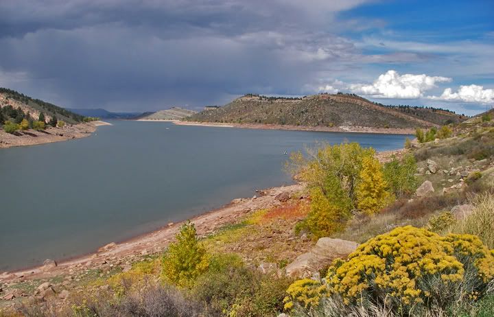
Rain over the Horsetooth Reservoir
I stopped at the Horsetooth Reservoir, there was a storm coming through, the sky was dark, the colors of the vegetation so colorful. I continued toward the twisty 27, known as Stove Prairie Road wishing I was on my bike. Even though I intended just to drive a little bit of Stove Prairie and turn around and run my errands, the curves were begging me to continue. My car knows how to have fun in the twisties too.
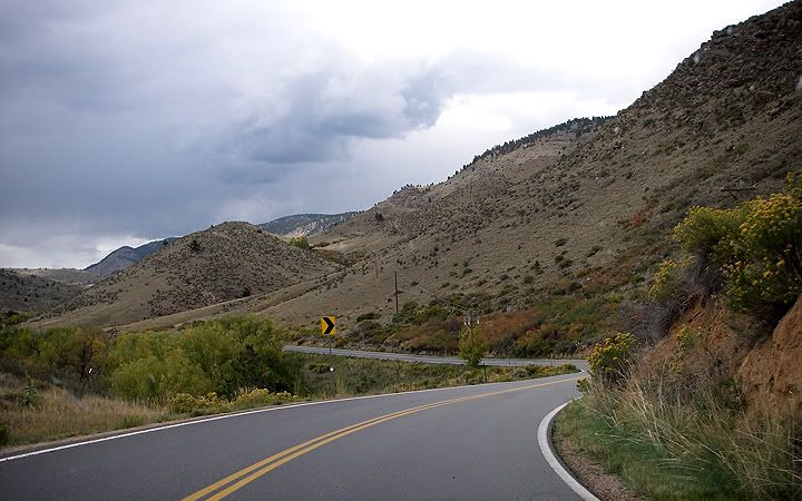
Stove Prairie Road
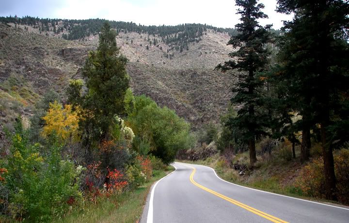
Some fall colors on Stove Prairie Road
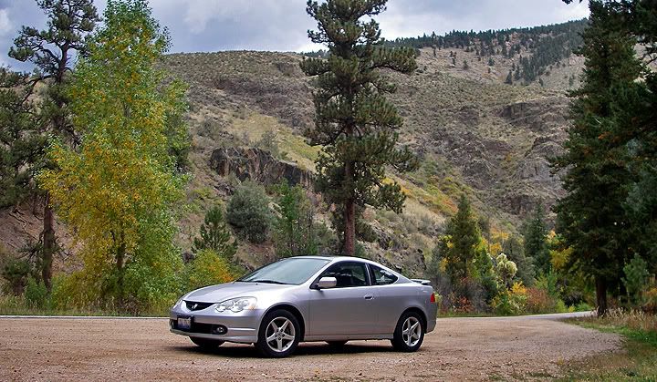
I haven't driven curves this fun in my RSX-S since the Idaho Lo Lo Pass trip in 2002
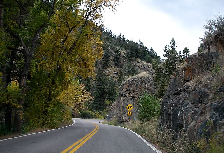
The curves get tighter, this section has a few 20, 15 and 10MPH curves
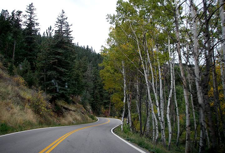
Aspen trees along Stove Prairie Road
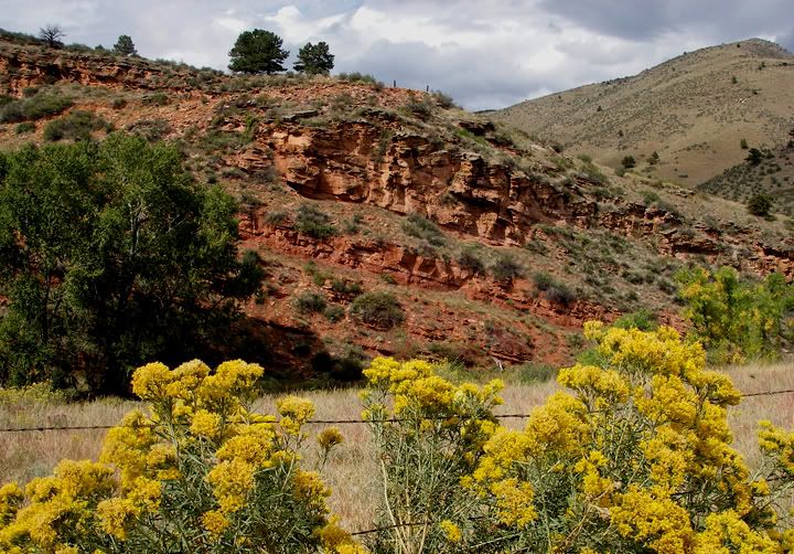
Red cliffs and yellow flowers along Stove Prairie Road
I remembered there was another twisty road nearby that I didn’t get a chance to ride when I was here this summer. So I decided that I would take Stove Prairie Road and turn right on Rist Canyon Road, which would bring me back toward Fort Collins.
Then all the sudden I saw a sign that said “Pennock Pass” pointing to the left and decided to check it out, after all where there is a pass there is a mountain road. Just past the intersection there was a yellow sign that said “Pavement Ends”. Now I was really intrigued, so I continued. This road was 44H also known as Buckhorn Road. It was a twisty dirt road. The bottom part had some tight curves and looked like it was paved ages ago, now the road was covered with a layer loose gravel but in places the old pavement could be seen. Further up the road it was mostly gravel and even further up it was mostly dirt. There was a lot of private property up here and what looked like weekend homes. Lots of “no trespassing” signs also.
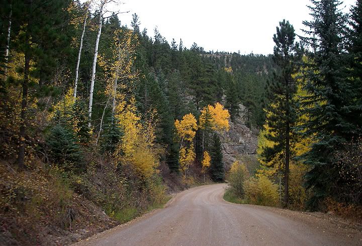
Heading back down Buckhorn Road
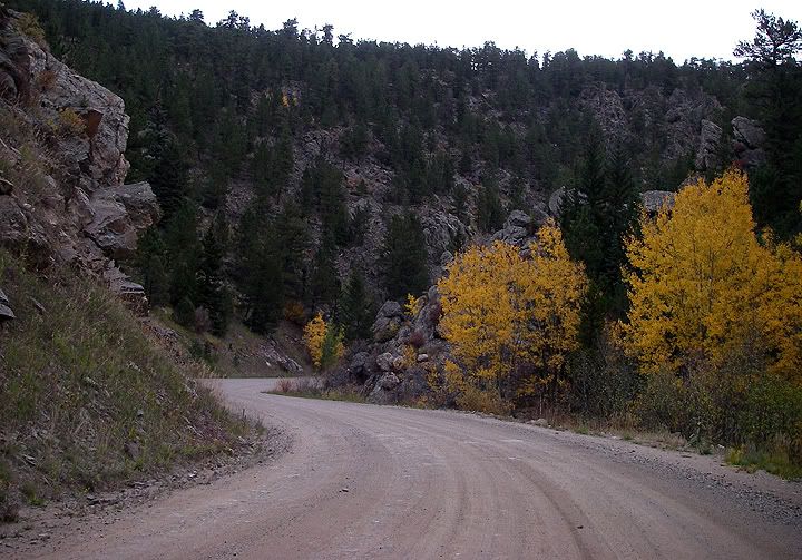

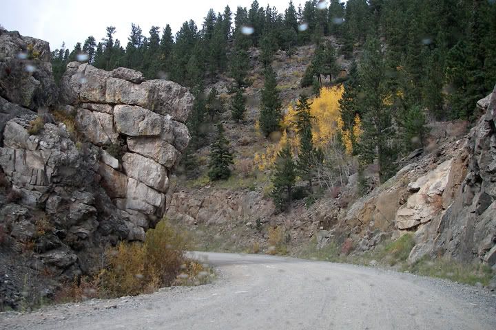
Lots of rocks and curves on Buckhorn Road
I continued on Buckhorn road for about 8-9 miles before turning around. I wanted to go further, this road was great and so was the scenery, but I wanted to save the rest for when I could bring my dual-sport up here.
It’s been raining on and off the whole time, but all the sudden the sky opened up with heavy rain and hail. When I reached the intersection of Buckhorn Road and Stove Prairie I made a left and continued to Rist Canyon Road also called 52E.
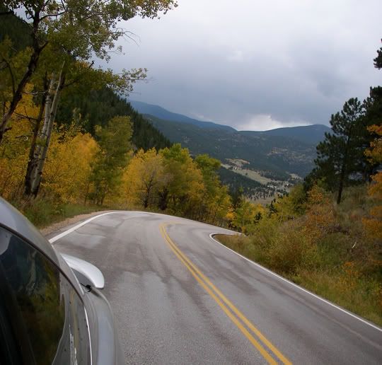
At the top of the hill on Rist Canyon Road
I‘ve passed this road before and I‘ve seen the "hill" it was a big one. Now I got to drive up this hill. Right past the hill the tight curves started and the road descended. Once I made the descend and the road leveled out this road reminded me very much of Stove Prairie Road.
The whole loop today driveway to driveway was 68 miles long. I never did make it to the store, by the time I got back to the Fort, the sun was already setting and I was pretty hungry, so I went home.
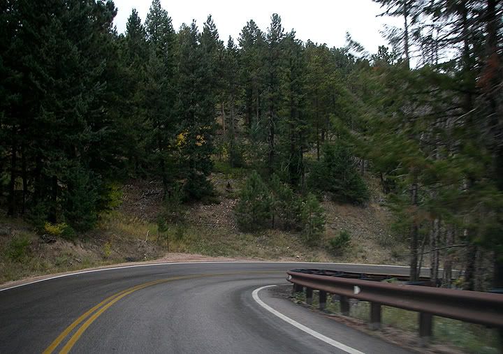
Tight and steep curves on Rist Canyon Road
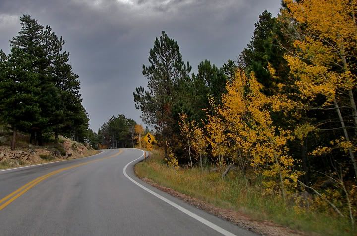
Rist Canyon Road leveling off near Bellvue
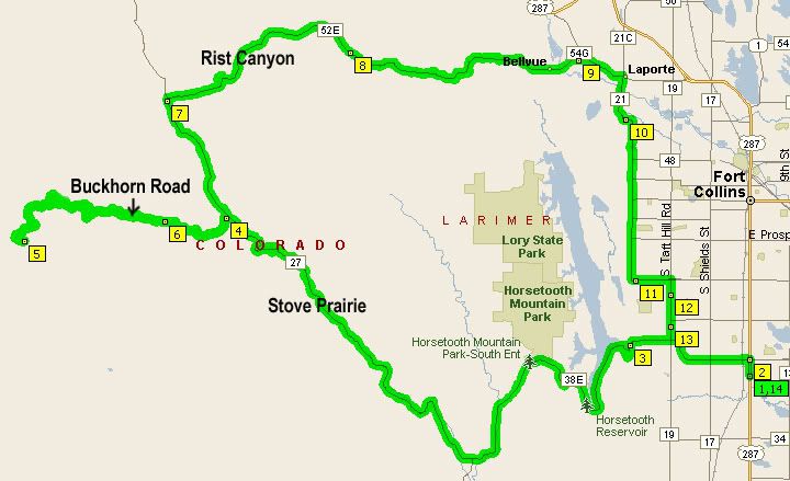
My 68 mile route just outside of Fort Collins

I am from LA and had found this road on a TOPO map and wondered if it was paved. Article was exactly what I needed. Well written and informative. Planning a motorcycle ride through there is summer and this helped alot. Thanks.
ReplyDelete