
At around 8:30am I was on the road heading toward Eagle Nest on the newly paved twists and turns of highway 64. From Eagle Nest I headed north on highway 38. This road was not as twisty as I had imagined it would be. It was mostly sweepers, then a few tighter 25MPH curves near Bobcat Pass which climbs to 9,820 feet in elevation. There were many nice views of the snow capped Wheeler Peak, the highest mountain in New Mexico which is 13, 161 feet tall.
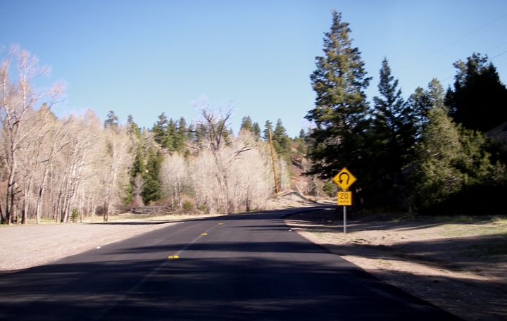
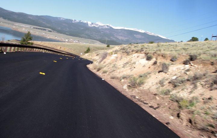
New pavement on highway 64 approaching the town of Eagle Nest, NM
Not counting Eagle Nest, I passed though two more towns. Red River, a neat western looking but touristy town and Questa. In Questa I tuned north on highway 522 and headed for the Colorado border. This road was mostly straight, although there were some pretty cools views of mountains in the distance.
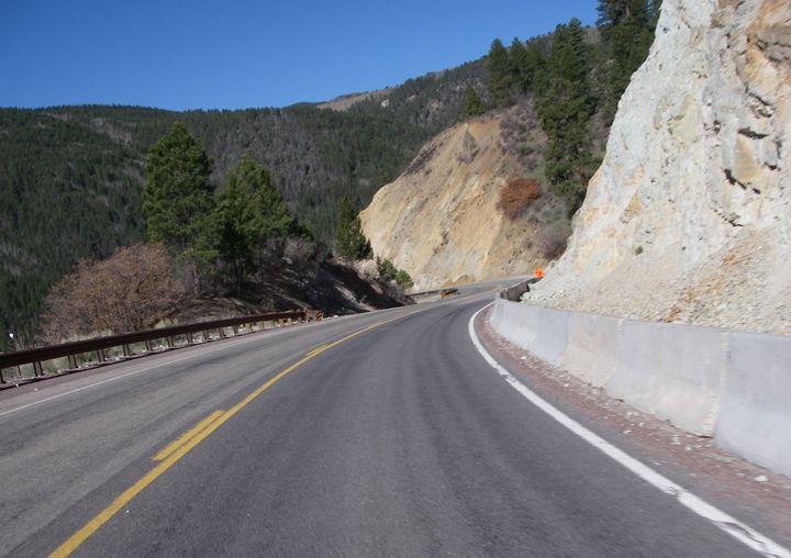
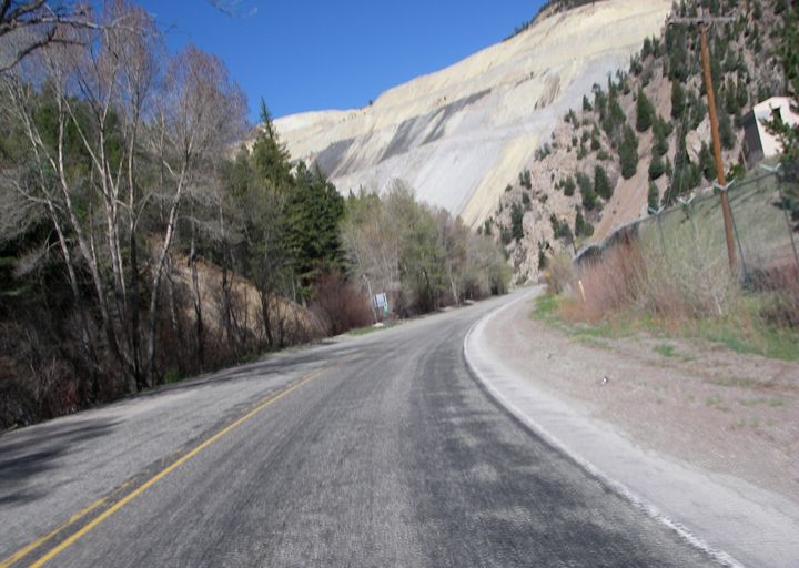
Highway 38
Highway 522 turns to 159 over the border in Colorado and although the road is mostly straight the views get much better once you get closer to the town of San Louis, officially founded in 1851, it‘s the oldest surviving settlement in Colorado. I stopped for gas in Fort Garland and turned west on highway 160. Again I would be passing by the Great Sand Dunes National Park. It was only 10AM, but I just didn’t have the time to check it out unless I wanted to be arriving home in the dark. Of course, I could just stay here another night and ride home tomorrow. It was very tempting but I just didn’t feel like camping for the 4th night in a row and I already knew there weren’t any showers here. Today was my 7th day on the road, I was kind of looking forward to sleeping in my own bed and catching up on things. Besides, this park was only 280 miles from home, so I could make it out here any other time.
I continued to Alamosa, turned north on highway 17 where I ended up sitting in construction again, just last when I was riding through here last week. I sat on the bike a good 30 minutes where they are paving highway 17 and it‘s only a one lane road.
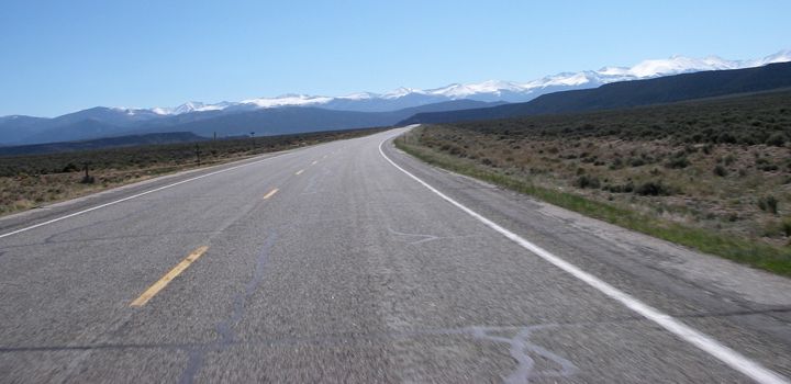
Highway 159 south of San Louis, CO
One thing to note here, the next time I’m riding this area and I need to ride north/south. I’m definitely taking highways 159/522. A lot less traffic and much nice of a road then highway 285 south of Alamosa, CO.
17 joined back up with 285 and before I knew it I was riding the sweet curves of Poncha Pass. I took a short break at Poncha Pass at 9,010 feet to drink some water and eat some trail mix. Having now ridden 285 twice, I can honestly say that Poncha Pass is my favorite pass on this road.
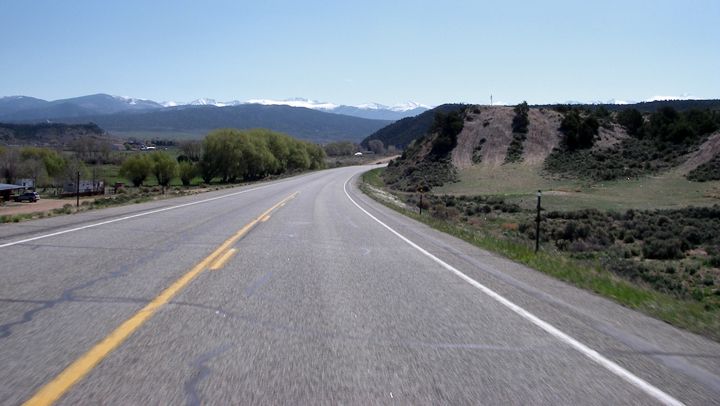
Highway 285 approaching San Louis, CO
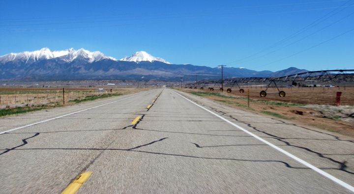
Highway 285 approaching Fort Garland, CO
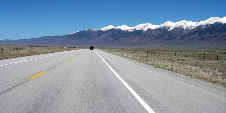
Highway 285 north of Poncha Pass
I continued through Buena Vista, stopped for gas in Fairplay and rode through Trout Creek Pass at 9,346 feet, Red Hill Pass at 9,993 feet and Kenosha Pass at 10,000 feet. Coincidently, Poncha Pass being my favorite pass on highway 285, Trout Creek Pass is my second favorite, Red Hill Pass is my third favorite and Kenosha Pass is my least favorite of the passes on this highway. So riding 285 from south to north I get hit my favorite pass first and my least favorite pass last.
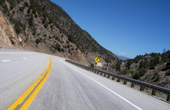
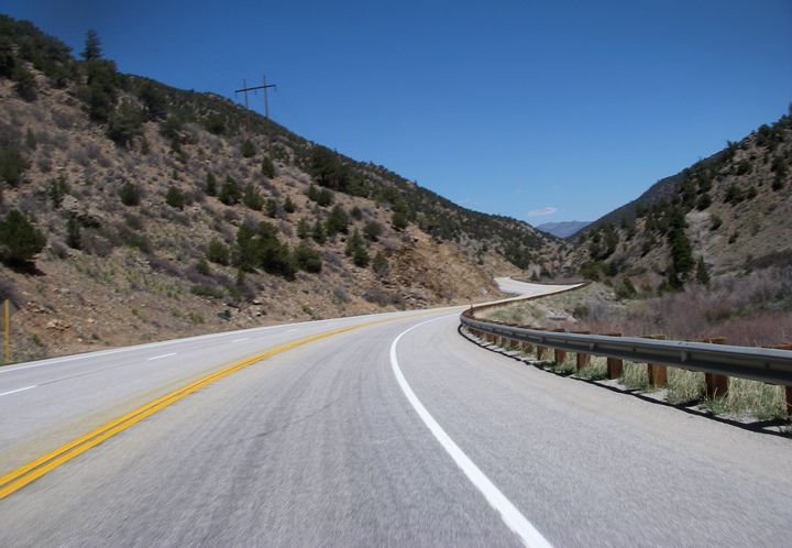
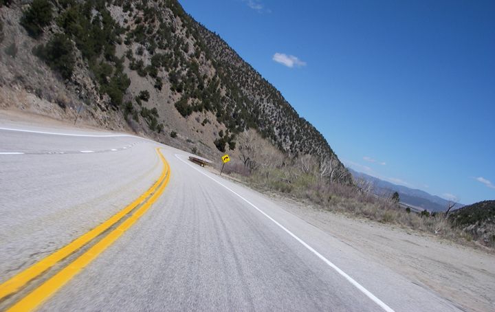
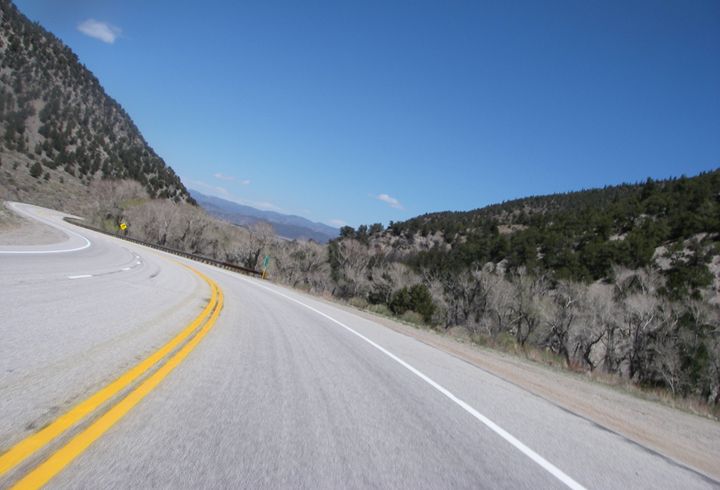
Highway 285 through Poncha Pass
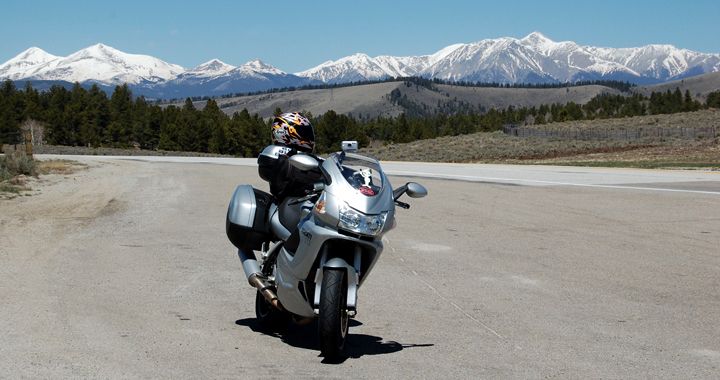
Some really nice scenery at Poncha Pass
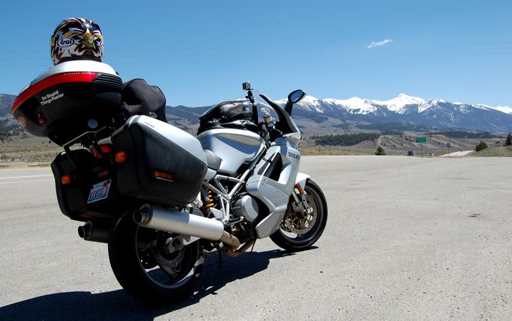
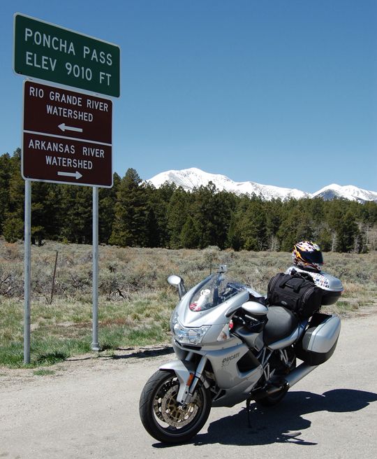
Taking a break at Poncha Pass
The last section of highway 285 from Bailey to Morrison was much better heading east. The view of Denver in the distance were great as I headed down from the mountains. There was a bit of traffic here though. I wasn’t stopping much today, not even for lunch, I really wanted to get through Denver before rush hour.
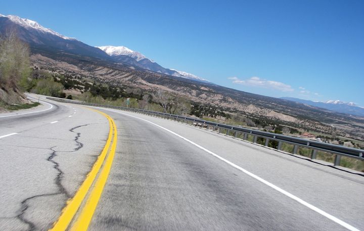
Approaching Buena Vista on highway 285
Having ridden 285 from Denver to the New Mexico border first southbound, and now northboundbound. I prefer riding 285 northboundbound, the scenery is much nicer, you just get way better views of the road and mountains riding in that direction.
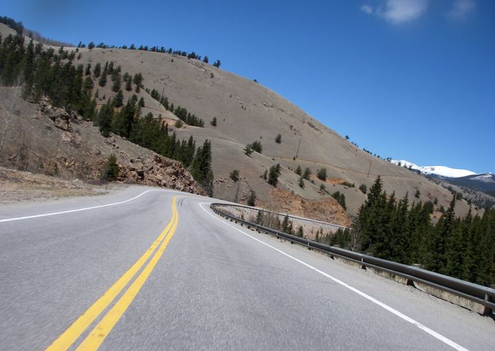
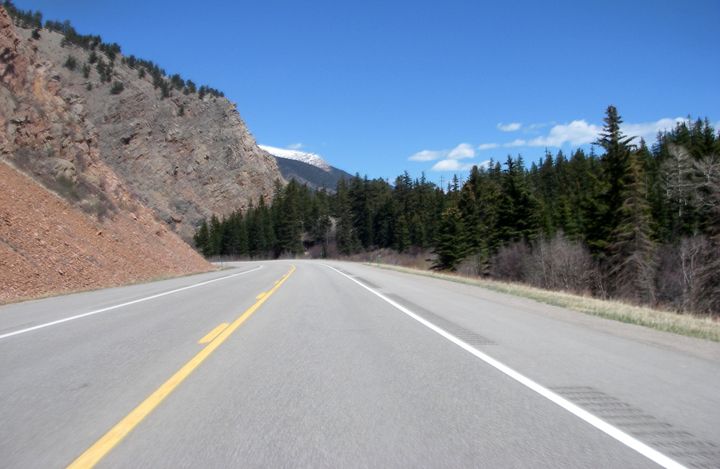
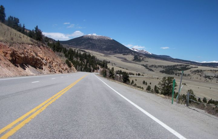
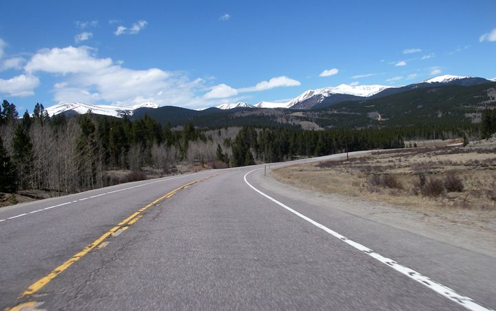
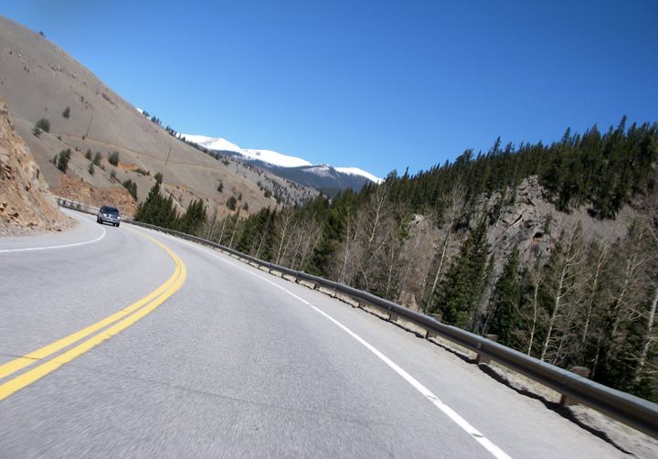
Above pictures were all taken at the passes east of Buena Vista on highway 285
Since I left Cimarron Canyon State Park this morning, I’ve been riding all day at high elevations. I had a few layers on and finally took off one of the layers in Fairplay. When I got on the 470 west of Denver the temperature went from 65 to 80 degrees in a few short miles. I pulled over and took all the layers off and unzipped all my vents. Those last few miles I was dying, having on a thermal turtle neck and a fleece pullover. The traffic was already thick when I took the exit for I-70/I-76 east and it was only 2:30PM. Once I turned on to I-25 heading north, the traffic was very slow and for a bunch of miles I was only going 10-20MPH. Finally the traffic got lighter past Westminster. I pulled in to my driveway in Fort Collins around 4PM. After riding 420 miles today I was finally home.
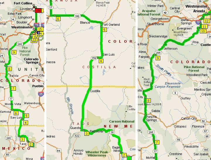
Whole 420 mile route (left), Highways: 64 to 38 to 522 to 159 to 160 to 17 (center), Highways: 17 to 285 to 470 to I-70/I-76 to I-25 (right)

I just got back from riding the eastern side of 160 into Trinidad, CO from the CO State line. Going west on 160 through Comanche National Grasslands you can watch the mesas rising up from nowhere to the south. If you haven't already done it, Highway 12 out of Trinidad is a must ride. There is a town called Stonewall on 12 that has the most unusual rock formations that look like stonewalls protruding from the ends/edges of the mountains. Highway 12 was so scenic that I could have walked it faster had I stopped to take pictures at every opportunity. I rode your same route south from Ft. Garland to Taos, NM and then to Las Vegas NM. Highway 104 out of Las Vegas to Tucumcari is also a scenic bit of road as you are descending the high plains and dropping down through a series of mesas the whole way. There also looked to be some nice dual sport roads in that area.
ReplyDeleteI just finished riding 160 from the east into Ft Garland. Beautiful country. It was my first time in CO and NM and I'll for sure be back! I took your same route south out of Ft Garland into Taos, NM and onto Las Vegas NM, Highway 104 from Las Vegas to Tucumcari is a nice route as well as highway 12 out of Trinidad, CO. Keep the great pics coming and rubber side down!
ReplyDelete