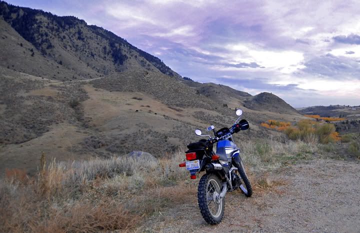
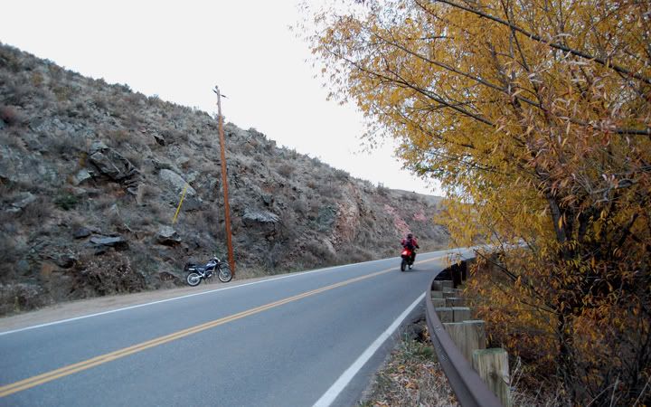
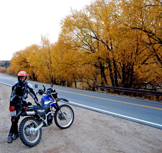
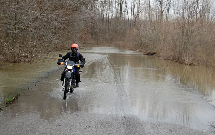
If you have been following my blog you might have noticed the recent lack of dirt riding. Our last ride on dirt took place in March - that‘s like 6 months ago.
We actually did plan a dual-sport weekend ride to Iowa early in the summer, but at the last minute the weather turned bad and we decided not to go. We also wanted to tow the bikes to Northern Wisconsin for a weekend, that ride didn’t happen either. We had many street rides planned for the Spring and Summer and adding a few dirt rides that required towing the bikes just never happened. Towing the bikes to go somewhere for a few days is not so bad, but towing the bikes just for the weekend ends up being more work than it’s worth. Not to mention that we’d have to drive a few hours to get anywhere worth while and that takes away from our riding time.
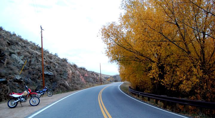
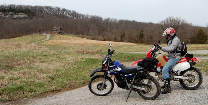
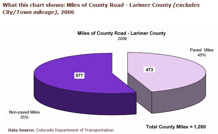
Well, I’m happy to say that the dirt riding hiatus is officially over. Today we did a ride on our dual-sports and we didn’t even need a trailer to get our bikes to the good roads. We rode them there. Got to love Colorado and Larimer County where we live. I found a nice little pie chart from 2006 that showed the percentage of paved vs. non-paved roads in Larimer County.
It was a beautiful day today, the temps were supposed to be in the low 70’s and we wanted to do a longer ride.
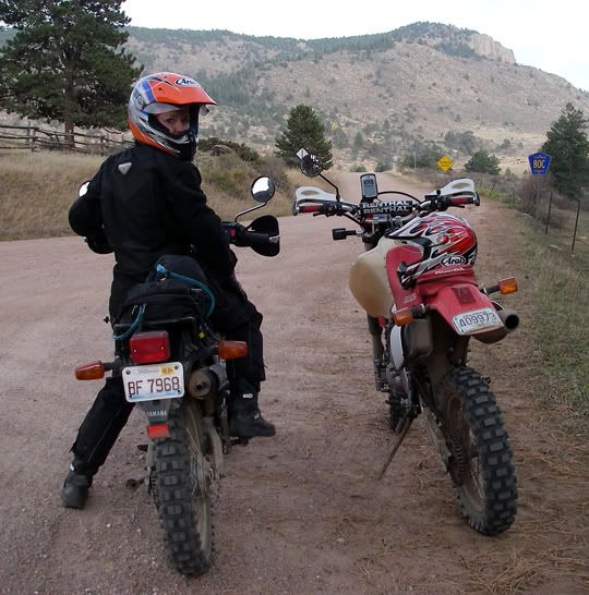
The idea for this ride came about when I read something about CR 80C, also called Cherokee Park Road. I wanted to ride this road on my street bikes but then I found out this road was not paved. Now I really wanted to check it out.
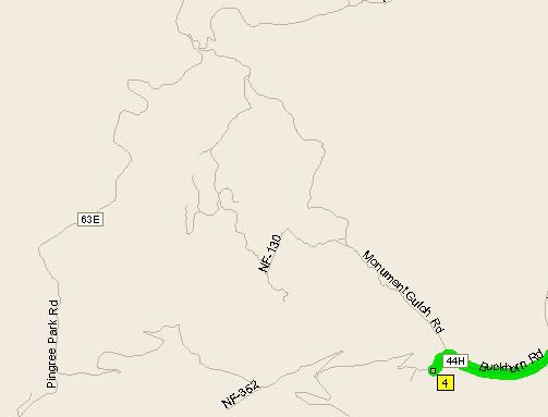
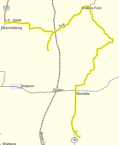
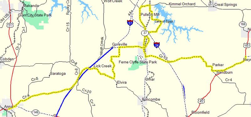
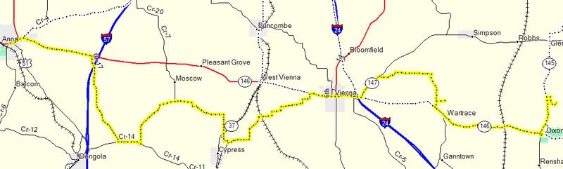
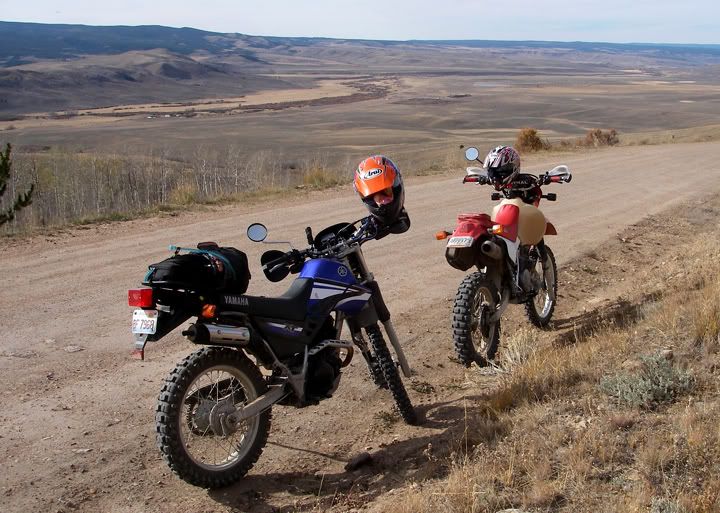
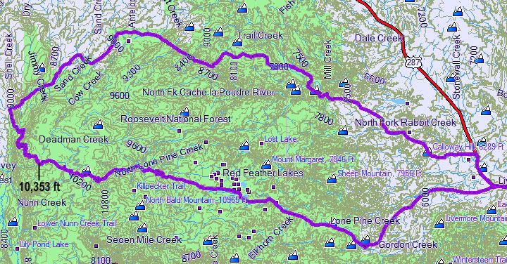
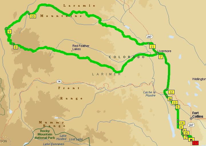 Our 150 miles route
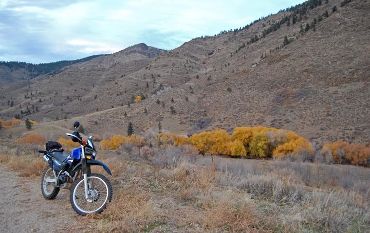
Mike had wanted to see the area around Red Feather Lakes just south of CR 80C. The road to Red Feather Lakes is paved. Mike found a road that connected the Redfeather Lakes Road, also known as 74E, to CR 80 C. This connecting road was dirt and was called the Deadman Road, also knows as CR 162 and it climbed to over 10,000 feet in elevation. It looked like we had a dual-sport loop.
If we didn’t do this ride soon we might not be able to do it this year, since soon there would be too much snow up there to ride safely. With a 150 mile route planned - 80 miles of the roads being paved and 70 miles being dirt, we got on our dual-sports and headed north.
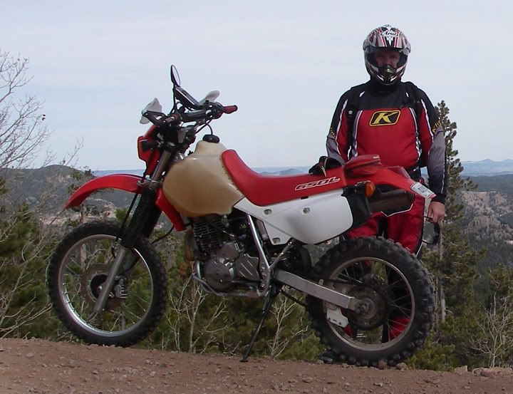
Now if you read the previous ride report, I wrote that it felt weird to ride my 954RR after not riding for 2 months. Well, let me tell you, it was super weird riding the XT225 after not riding it for 6 months. And I think I totally forgot how to ride on dirt.
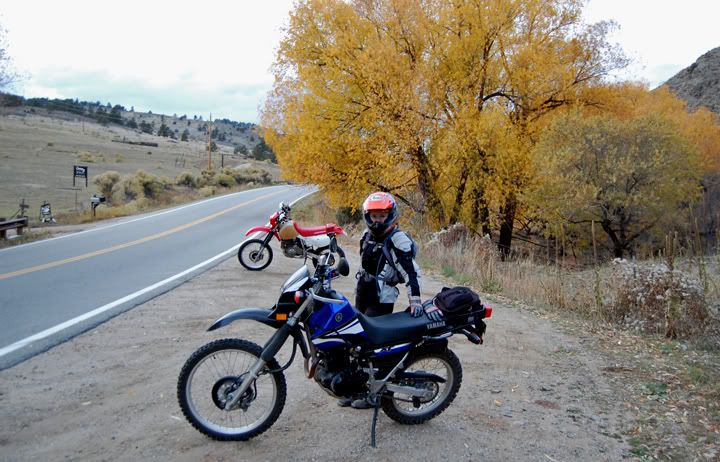
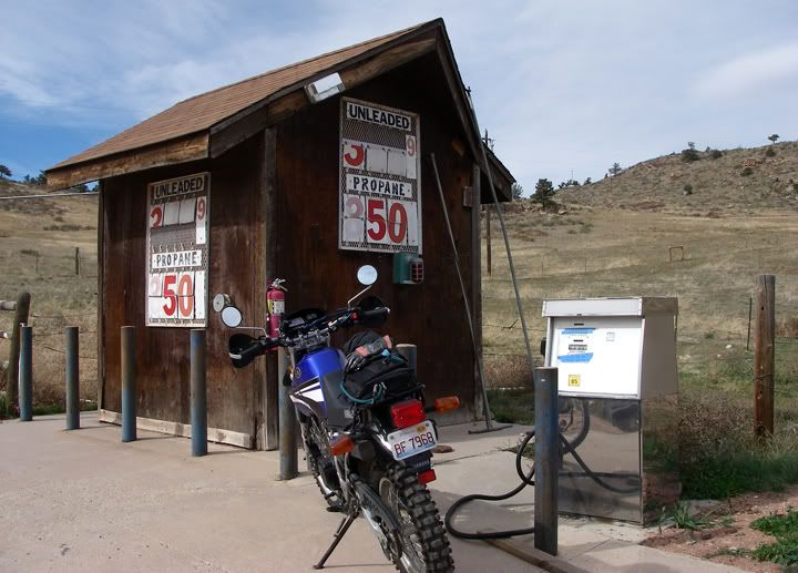 Gas stop east of Red Feather Lakes
287 North from Fort Collins is posted at 65MPH, I let many vehicles pass me since it’s uphill and the XT was topping out at 60MPH and people tent to drive that road about 10 over. We turned West on 74E Redfeather Lakes Road. Gas was going to be an issue on this ride, Mike has a huge tank on his XR so we brought a hose with us so we could siphon some gas from his bike if I ran out. My gas that I used to ride with was in storage in Illinois. I didn’t bring it because even though in the beginning I carried extra gas with me, I actually never needed to use it. We were in luck though, around 50 miles in to the trip there was a resort on the left and they had gas so I filled up again. There is a gas station is Livermore, but they had plastic bags covering their pumps. Now I had enough gas to make it back to Fort Collins.
 Cowboys herding cattle across Redfeather Lakes Road, see the red bike behind all the cows, that's Mike
There was a bit of traffic on Redfeather Lakes Road, after all it was the weekend. Further down the road some cowboys were getting their herd of cattle across the road and Mike got stuck waiting for the road to clear. This is the Wild West, don’t you know?
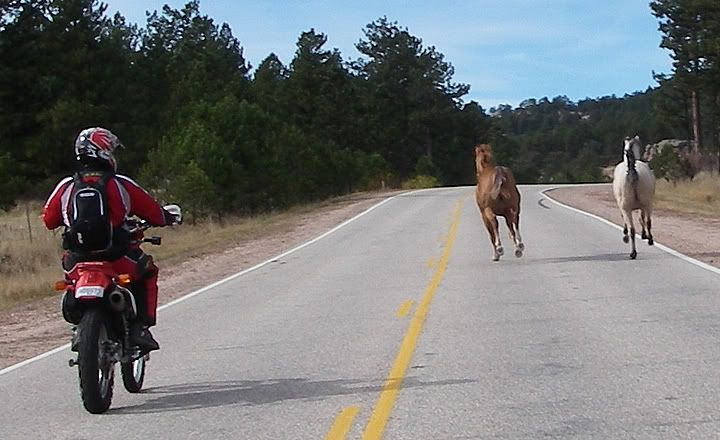
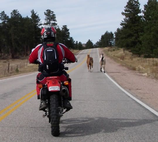
Mike passing cars to get behind the horses
Then just as I was laughing in my helmet about the “Wild West” notion we came up to a line of cars going painfully slow. Ahead of them there were two horses running in the middle of the road. Mike passed all the cars and followed the horses and I followed him. They were not moving out of the way and it looked like they were racing each other. This is the Wild West! After about two miles or more they started to move to the shoulder, then one of the horses noticed Mike passing him and he started race him. One horse was no match for multiple horse power bike, the horses finally moved over to the dirt shoulder and we passed them.
Still following the horses
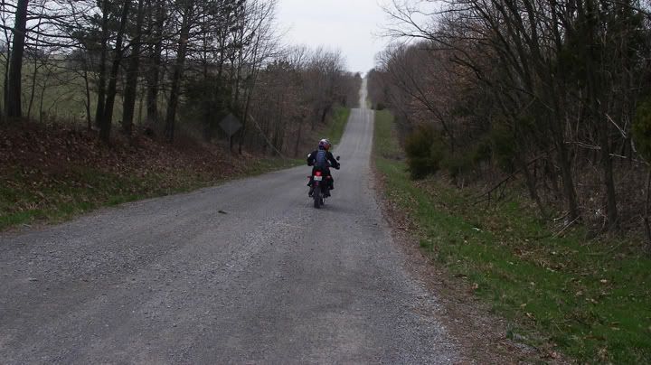
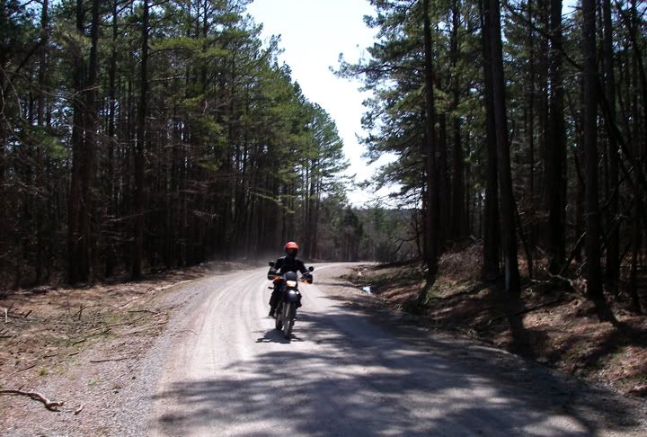
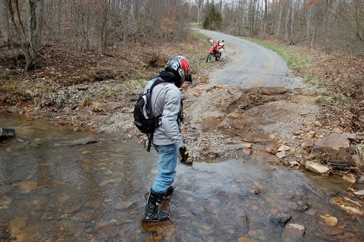
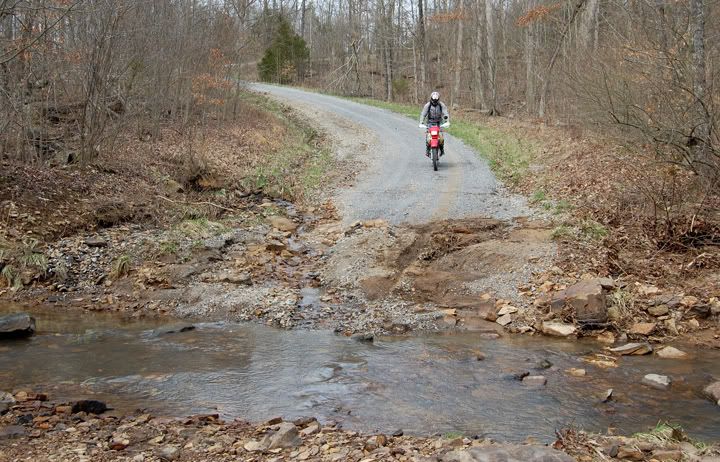
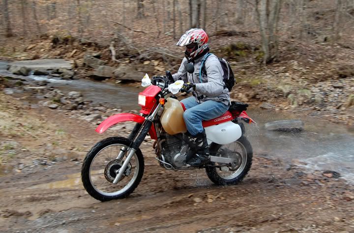
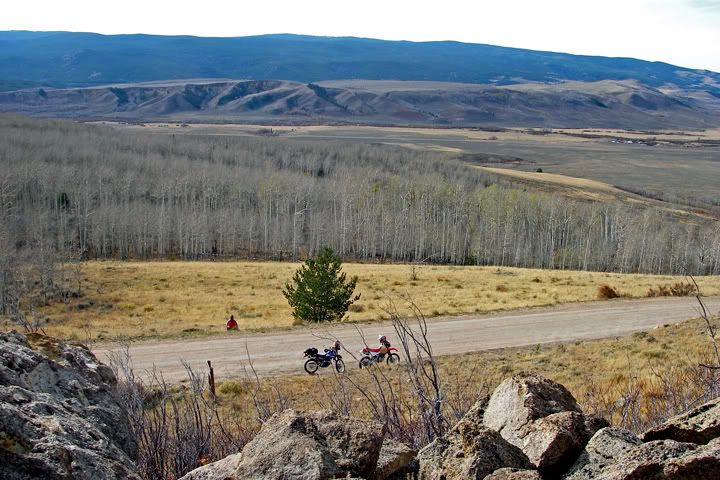
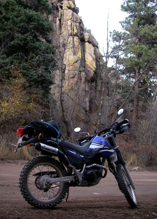
Redfeather Lakes Road turns into Deadman Road and that’s where the pavement ends. At first the road is gravel, but after you enter the Roosevelt National Forest there is less traffic, no weekend homes and the road becomes nice hard packed dirt. This is where I started to really enjoy the ride. Crisp fresh air with scents of pine, spruce and other evergreen trees rushed in to my nostrils. The road climbed gently and soon there was some snow on the grass near the road but a bit further there was snow on the road. Parts of the road were covered in melting snow, so I was getting a bit of mud on me, but some parts of the road that were in the shadows were slick, specially the parts that had melted and re-froze.
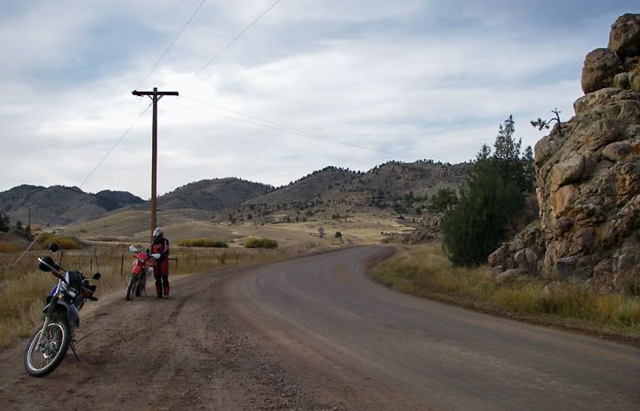
Starting the climb on Deadman Road
 Huge mountains behind me
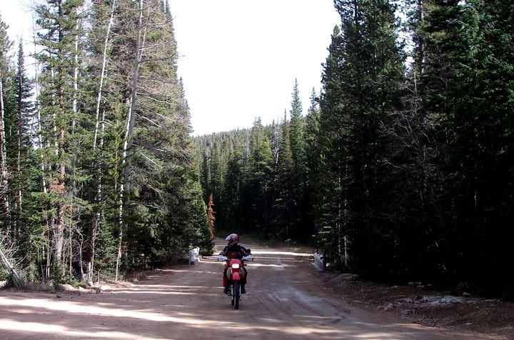 Mike riding on Deadman Road through the Roosevelt National Forest
Once we climbed to 10,353 feet in elevation, the highest elevation displayed on the GPS, the road got even more twisty. The going was good but I was slowing down over the snow sections. My back tire slid out a couple of times and that didn’t feel all that great specially going downhill.
We came down the mountain and the road opened up to an amazing view. We brought some sandwiches and snacks with us, we decided to stop here and have lunch.
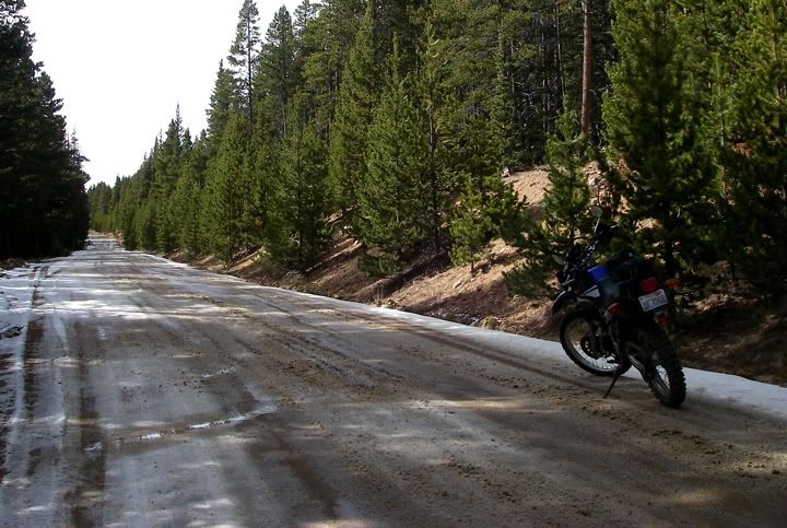 Some snow on the road at 10,000+ feet in elevation
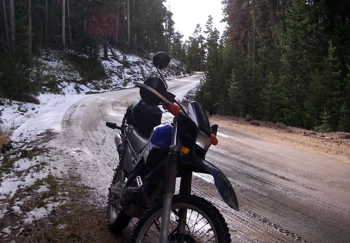
More snow on the road through the downhill curves
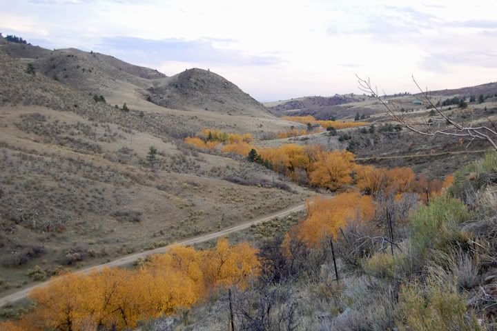
After lunch we continued to descend in elevation and turned north on to CR 80C, I think this road is called Cherokee Park Road further to the east of here, I don‘t know what it‘s right here.
CR 80 C was not at all like Deadman Road. Where Deadman Road ran up and down a mountain and through a forest, CR 80 C ran through an open area at first, then some hills, then a bunch of ranches, toward 287 there was some awesome canyons.
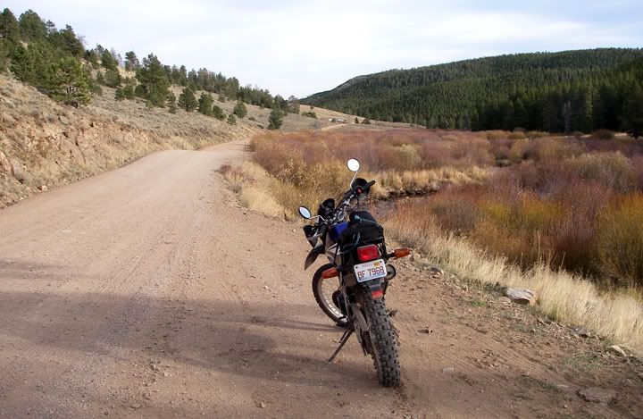
Near the end of Deadman Road
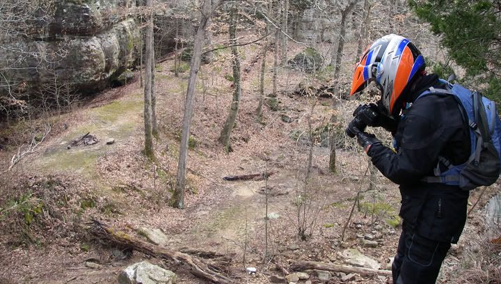
Our lunch spot, see Mike sitting near the road
Such beautiful views are worth one more picture
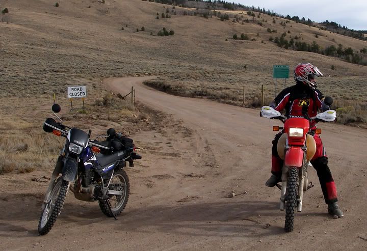
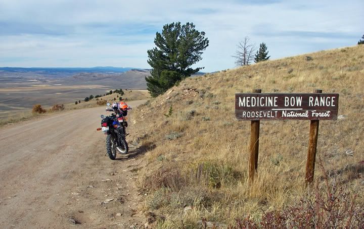
End of Deadman Road at CR-80 C
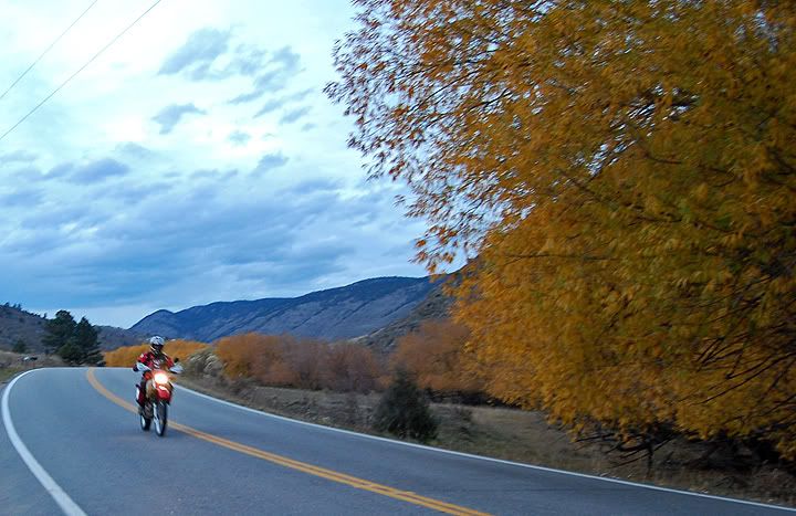
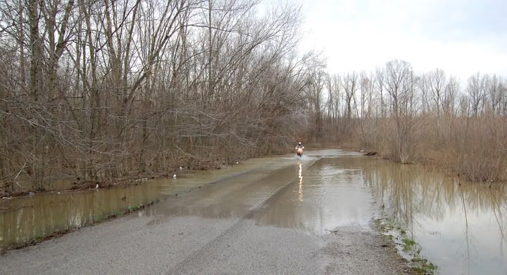
I didn’t take too many pictures toward the end of the ride, the sun was low on the horizon and we wanted to get home before it was totally dark. We got on 287 heading towards Fort Collins, since it was downhill my bike got up to 76 MPH in few places.

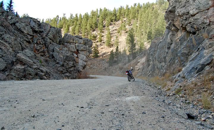
CR-80 C
CR-80 C
Toward the east CR-80 C is also knows as Cherokee Park Road
So many awesome rock formations on this road
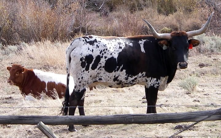
It's black and white with spots but looks nothing like the cows in Wisconsin
Cherokee Park Road
This was a great ride on some great roads. And there are so many more dirt roads to explore in this area.
Our GPS tracks showing approximately the location of the highest elevation we reached on this route
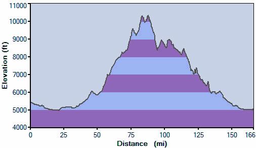
Elevation chart from this ride


 I was enjoying this road and the curves, taking pictures, taking my time and all the sudden I saw a bike in my rear view mirror. It was Mike, he passed me and continued up Buckhorn Road.
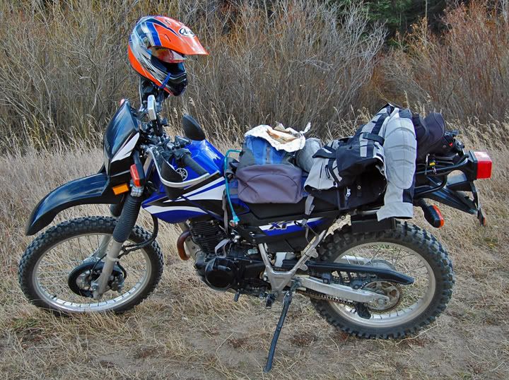
 I continued further up the road, passed Monument Gulch Road and continued a bit further until I came to the sign that said the road up ahead would be very steep and twisty. This would be my turn around point today. As much as I wanted to continue, it was getting late and if I didn’t turn around now, I’d be riding home in the dark with all those deer around Horsetooth Reservoir. I saw a deer on the side of the road coming up here today, in the middle of the day.