Showing posts with label Tiger. Show all posts

Wednesday, November 19, 2008

Fort Collins: short & twisty motorcycle loop


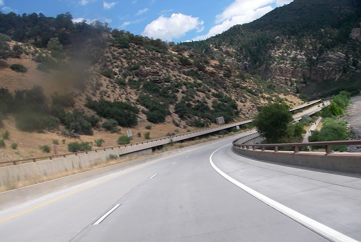
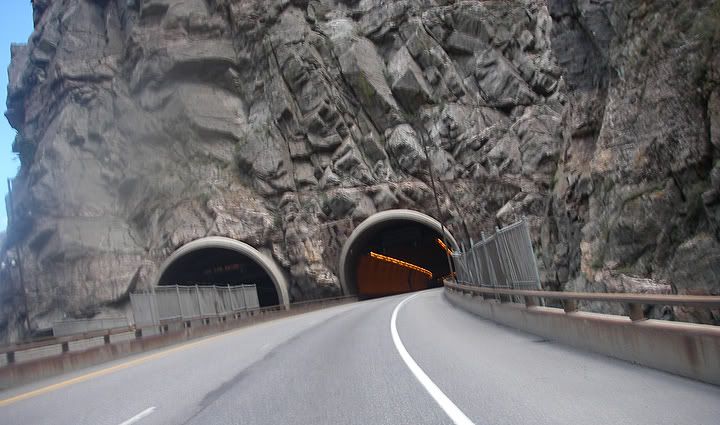
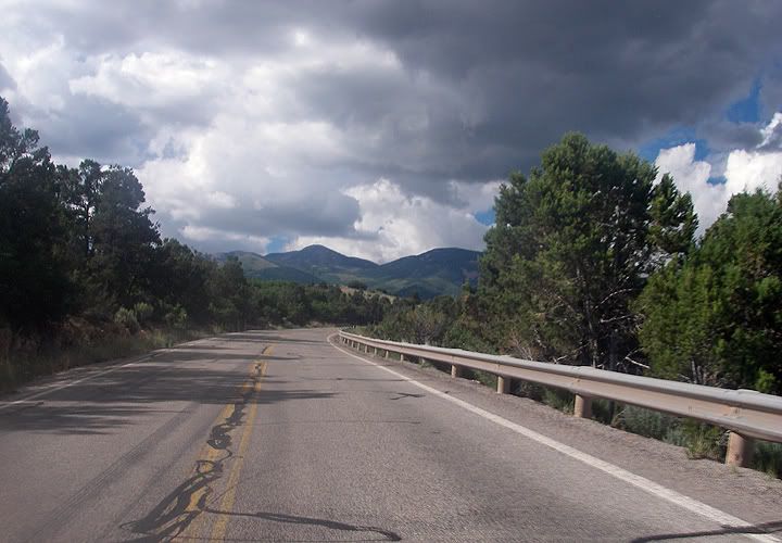
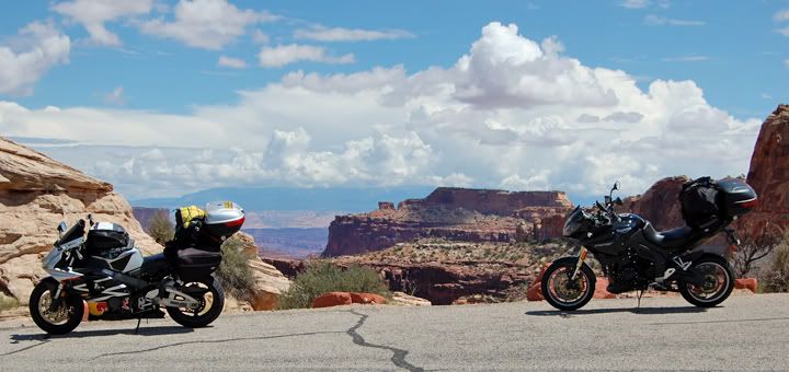
With snow in the forecast for tomorrow and 60 degrees and sunny today, Mike and I took off for a short version (63 miles long) of the twisty loop west of Fort Collins. 38E to Stove Prairie (27) to Rist Canyon (52E) to Centennial Drive (23).


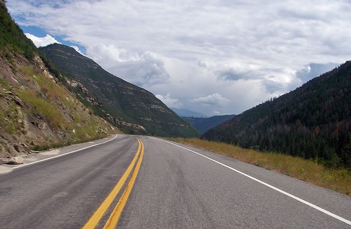
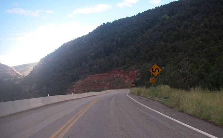
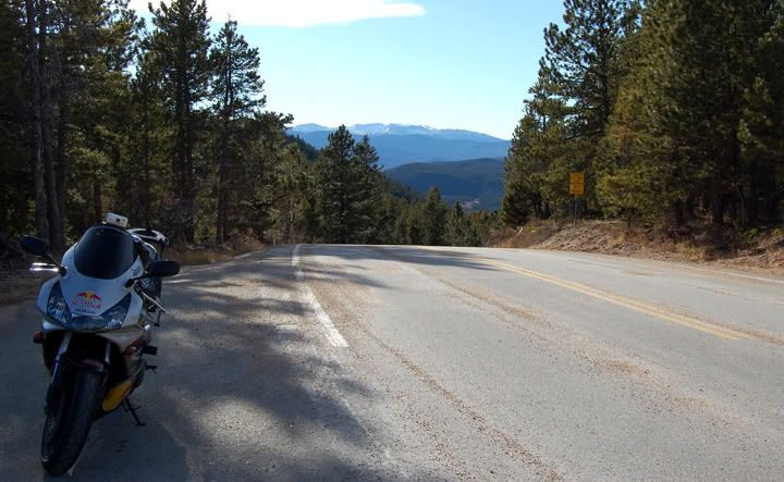
On Stove Prairie heading in to the mountains

The longer loop would have been 90 miles long and one would continue on Stove Prairie then head east on Poudre Canyon (14) then on to Centennial Drive (23).

To change it up one could ride the loops in the opposite direction, it’s like a completely different ride.

My 954 still needed to have the servo motor problem resolved. Many had suggested to check for loose battery connections first since that might have caused the error code for the Faulty EGCV and air intake valve servo motor . The battery connections seem fine. I was hoping that maybe it was an electric fluke and on this ride the light wouldn‘t come on, but it did. Mike will have to take apart the servo motor next, but that can wait for when it’s cold.


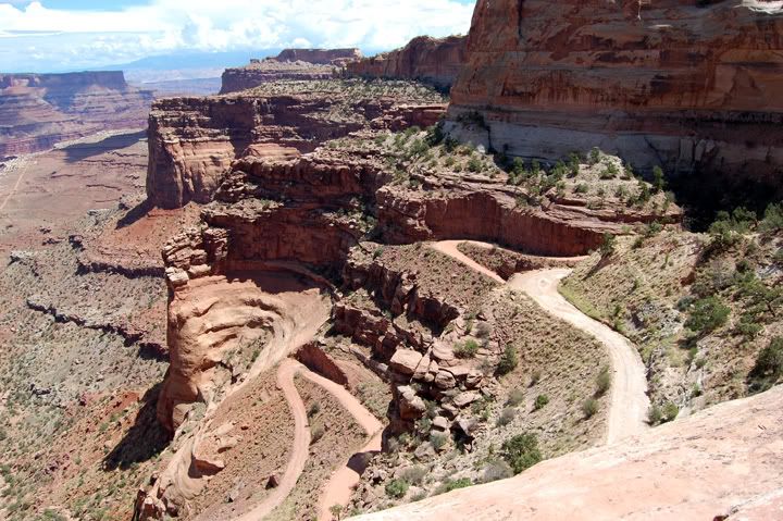
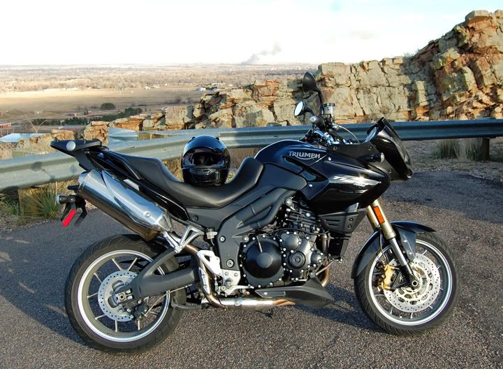
At the the top of Rist Canyon Road


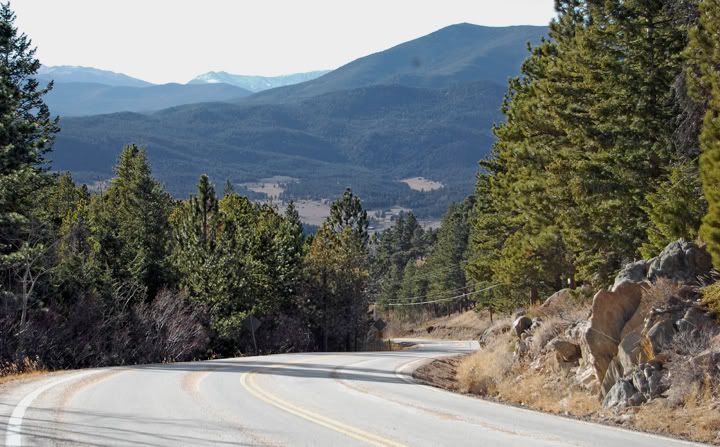
A close up of where I came from


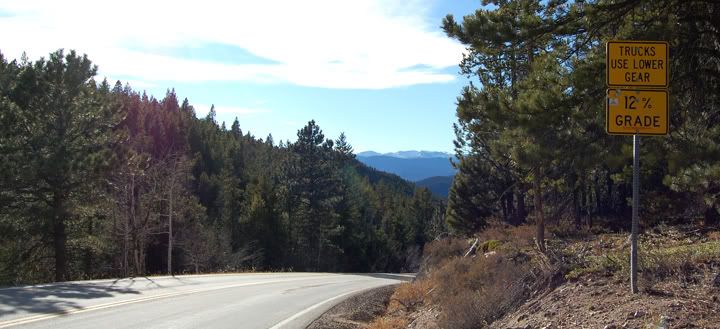
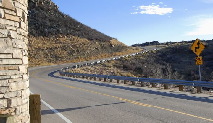
It's a steep climb to get up here


And behind me is where I'll be going down hill on Rist Canyon


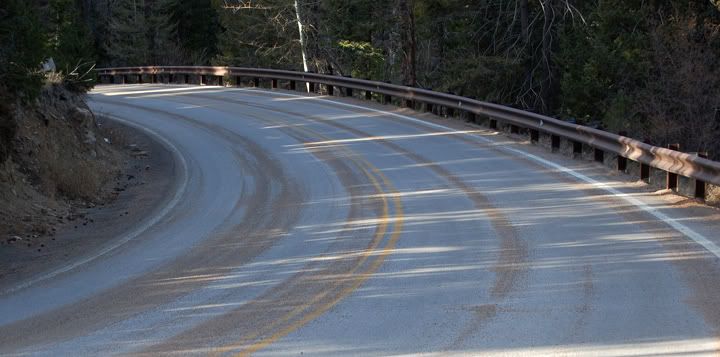
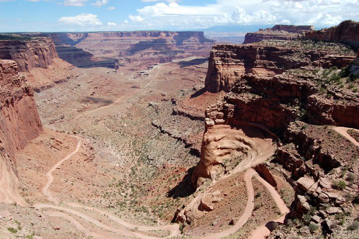
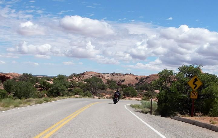
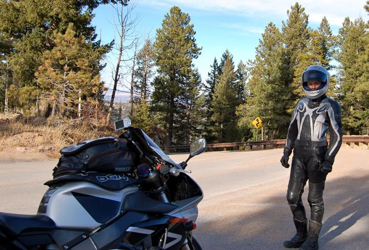
This isn't even bad, there was more sand further down the twisties


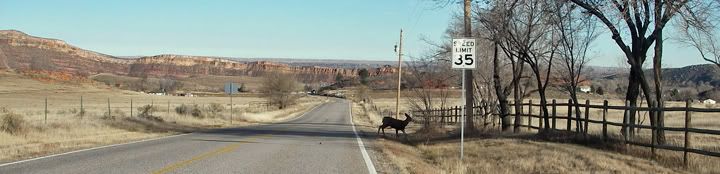
A deer crossing the road in the middle of the day toward Bellvue on Rist Canyon

We had to get out for a short ride today a enjoy the above average temps we’ve been having. This might be our last bike ride for November since we’re traveling for Thanksgiving and won’t be back in Colorado until the beginning of December. And even if the weather continues to be nice in December we won’t be riding Rist Canyon until Spring. Apparently in the winter time they sand the high elevation section of this road which reaches 8,011 feet. Unfortunately the highest part is also the twistiest part and the steepest part. I did not enjoy riding down the twisty hair pin turns with all this loose sand on the road. And I don’t even have pictures of the sandiest section since I wasn’t going to take one of my hands off the handle bar to take a picture… that would have been scary.


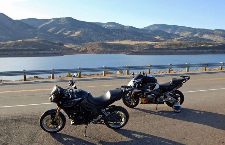
A short stop on Centennial Drive


It was a bit windy up here


There was a fire in Fort Collins, you can see the smoke in the distance


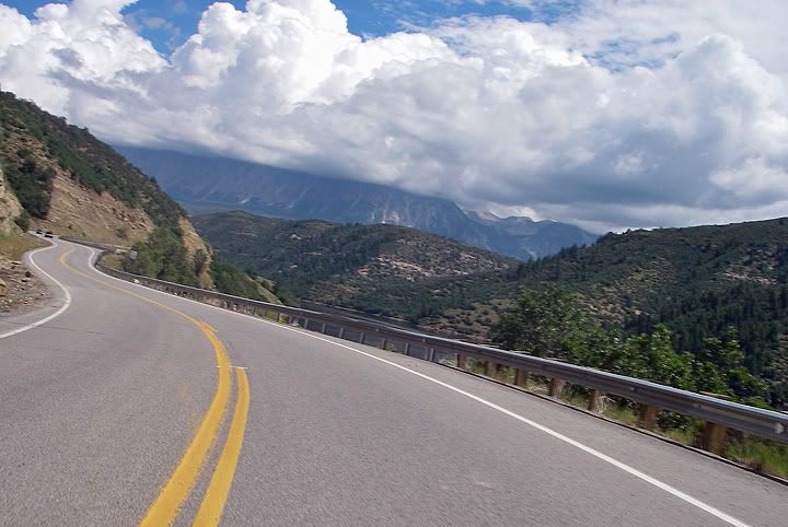
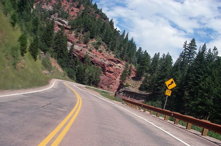
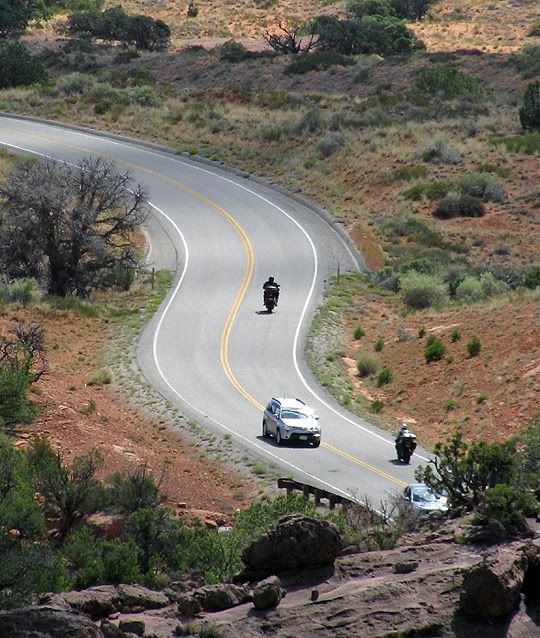
Twisties on Centennial Drive


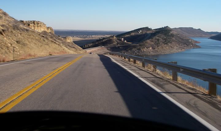
Even though I rode Centennial Drive Northbound yesterday, the views are much better going Southbound the way we rode it today

So I guess in the winter time before the snow flies the only twisty loop one can do is the long loop, even though parts of the Stove Prairie Road that were at above 7,000 feet also had sand on the road but at least the road there wasn’t all covered with sand and it’s wasn’t steep and really twisty.

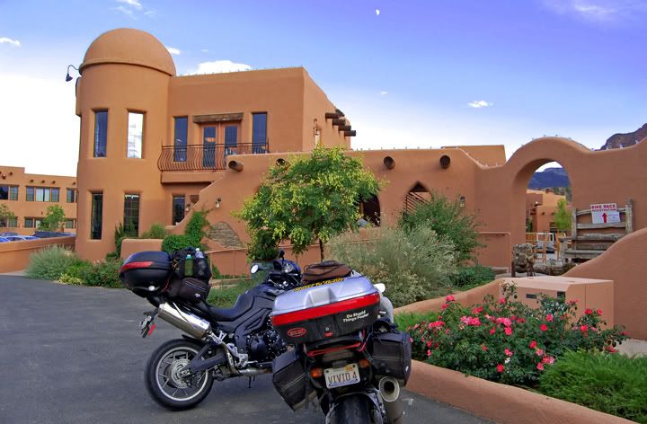
And of course the best part of the ride, and one of the reasons why we moved here, is that when the weather is nice there are awesome roads near by.


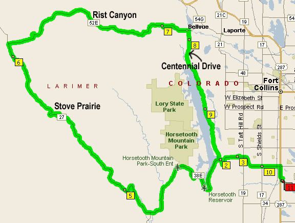
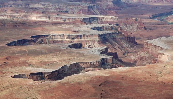
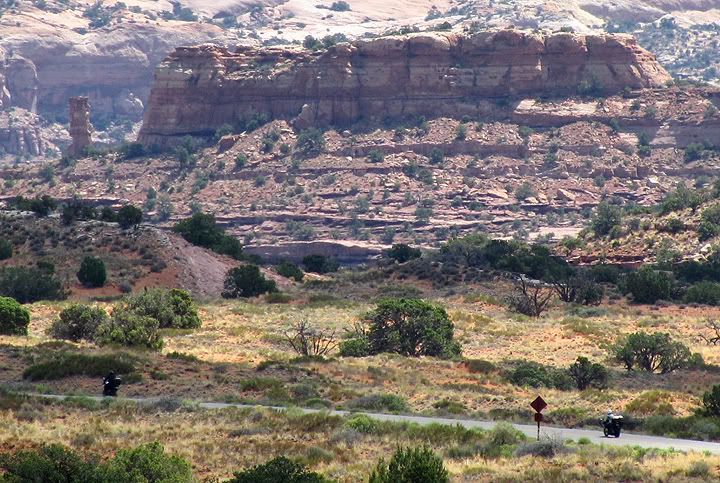
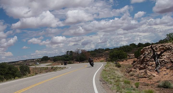
The short twisty loop west of Fort Collins

Sunday, August 10, 2008

Delta to Highlands Ranch, Colorado


We woke up to a beautiful day. Since we didn’t make it to where we were supposed to be last night we had to adjust out route today to make it shorter. We wanted to arrive in Highlands Ranch in the afternoon where we were staying with Mike‘s uncle.


Our nice room at the Riverwood Motel in Delta, CO


Outside Riverwood Motel

From Delta we headed east on 92, then in Hotchkiss we turned north east on 133. In Carbondale we went north on 82 to Glenwood Springs and then I-70 to 470.

92 is a great road south of Hotchkiss, the portion we rode was a bit straight, the scenery consisted of barren hills. Past Hotchkiss on 133 the curves started quickly and for the longest time there were large mountains ahead of us. The section of road through McClure Pass at 8,755 feet in elevation was very scenic and fun. 133 is a great road, except for a few slow moving trucks there wasn’t too much traffic on this road on this Sunday afternoon.


A scenic stop on 133


Paonia Reservoir next to 133


Paonia Reservoir


Today’s temperatures were mild and it was definitely cold at the top of the pass, even though as Colorado passes go, this wasn’t a very high one. Extra layers were needed today.


Heading towards McClure Pass on 133


133 heads in to the mountains


We turned on 82 and arrived on Glenwood Springs. There was a lot of traffic in town and we inched along with the traffic. We were looking for I-70 but the signage for the interstate wasn’t all that great. There was no warning that it was coming up. I saw it on my gps, got ready to intersect it and all the sudden the interstate was to the left and we were stuck in the right lane. We headed out of town and got on I-70 past Glenwood Springs. I think next time when in the area, I’d like to avoid this town.


I-70 east of Glenwood Springs


There are a few long tunnels on I-70


Inside the tunnels

The interstate past Glenwood Springs is not boring interstate, it’s full of twists and turns and has a low speed limit. It’s a very fun road. After a while the interstate starts to climb in elevation and stays at high elevations for a while. We needed to layer up again, it was rather chilly up here. We were also hungry now and wanted to stop somewhere for a late lunch. Unfortunately we were tired of fast food so we rode into the tourist trap called Dillon. For some weird reason, many of the restaurants weren’t even open in Dillon. We rode around the tiny town, decided to park the bikes and walked to another restaurant, but never made it past the front door and the menu that was posted there. $12 for a hamburger? Not on our budget.

It seemed like going in to Dillon, which was a bit off the interstate, turned out to be a waste of time. We decided to get back on the bikes and hit one of the fast food places near the interstate and save some money.

I got on my bike again but it wouldn’t start this time. There was no mystery to what was going on either. I killed the battery. With the large tank bag, the GPS and camera mount, there just wasn‘t a lot of space left for my hand to reach the key. Each time I had to turn the ignition key, I had to somehow squeeze my hand through all the obstacles and feel for the key and attempt to turn it, sometimes it took 4-6 tries before I managed to grab the key and be able to turn it.
Toward the end of the trip I started to get lazy and many times I’d turn the engine off but I’d leave key turned to the ‘on’ position leaving the headlights on. That was of course if I knew I was going to be turning the engine back on in a minute or two. Well, after weeks of doing that and each day of doing it more and more, I had finally drained the battery.

I’m glad Mike was there to push start my bike, but it wasn’t easy. My bike was loaded up to the gills and so heavy and there were no large hills here to roll the bike. It took a at least 20 minutes for him to get the bike running but finally it started. Yea! We rode toward the interstate and grabbed some fast food. This little stop in Dillon made us lose an hour and a half and now we were in a bit of a hurry to get to Highlands Ranch.

I-70 was OK for a while but once we got closer to Denver the traffic started to build and slow down. It looked like a lot of people were heading back home to Denver from the mountains on this Sunday afternoon. I thought the traffic on I-90 in Wisconsin was bad on a Sunday afternoon, with all the Illinois people heading back to Chicagoland. This traffic heading in to Denver was way worst, mostly because the highway was not only packed full of cars but was also very curvy and there was no secondary roads to escape the traffic. The traffic was stop and go all the way from Idaho Springs to Denver. 470 was also packed full of cars and now the dark clouds overhead decided to purge their load. Stop and go traffic and heavy rain! This was so far one of the worst rides I’ve had in Colorado, but we were almost there and not too much further the rain got lighter, we found our exit and we were pulling over at Mike’s uncle’s house in Highlands Ranch just south of Denver.


Today's route was 280 miles long: 92 to 133 to 82 to I-70 to 470


This weekend's route from Monticello, UT to Highlands Ranch, CO was 635 miles long

Saturday, August 09, 2008

Moab, Utah to Delta, Colorado


We left Canyonlands National Park and arrived in Moab. It was almost 3PM and we were starved, having only eaten granola bars earlier. After eating for a week in our motel room, we were ready for a good meal out. We chose Slickrock Café, a neat looking place on 191 in the middle of town.


Lunch at Slickrock Café in Moab, UT

The food was really good, and my southwest chicken sandwich was one of the best chicken sandwiches that I’ve had in a while.


191 near Moab

After lunch we hit the road. We headed south on 191 and turned east on 46 which turns to 90 in Colorado. This is a great road, I‘ve been on it before in 2006. 46 starts out straight but gets pretty twisty, through the La Sal mountains although there are quite a bit of tar snakes on this road near the Colorado border. There are also a lot of deer here, we saw a few on and around the road and it was still early in the afternoon.


46 through Utah


90 through Colorado


Some tight switch backs on 90

There wasn’t a lot of traffic here, actually we saw only a hand full of cars before we turned north on 141, one of my all time favorite roads in Colorado. The previous time I rode 141 was in 2005 and I rode it in the opposite direction. I remembered there not being a lot of places to get gas on this road and I was a bit concerned when we turned on 141 without gassing up first.

As I remembered 141 was amazing and there was hardly any traffic. And as I remembered, there were hardly any towns and no gas stations for miles and I was getting low on gas. Then all the sudden I reached the town of Gateway. It wasn’t at all the way I remembered it. There was a large resort where there was nothing three years ago and it looked new. There was also a gas station and a grocery store behinds the gates of the resort.


141 through Colorado


141 is one of my all-time favorite roads


The Dolores River runs along highway 141

We grabbed stuff to eat for later at the grocery store, it was huge with a lot of selection. Then we filled up our gas tanks and headed out. The state park I had hoped we would be camping at tonight was still very far away and the day was coming to an end. We would have to find a closer campground, but so far we had seen nothing. We continued on 141, the sun went down and the deer came out. One deer jumped over the back of Mike’s bike while it was crossing the road. Mike didn’t even know it had happened. This was definitely a sign to slow down. The wind was picking up and there was lightening on the horizon when we finally reached highway 50 and headed south.


A brand new resort is Gateway, CO


Gas pumps at the resort in Gateway

We were heading straight for the storm and within minutes it was raining. It was already close to 10PM and we didn’t feel like looking for a campground and setting up the tent in the rain. We pulled in to Riverwood Motel on highway 50 in Delta. The parking lot was gravel and the motel didn’t look like anything special from the outside but our $60 room turned out to be wonderful. The room was huge with refrigerator and microwave, the bathroom was huge too and there were all these little free extras in the bathroom, stuff you‘d find at one of those large fancy hotels. Even a free pack of gum. I highly recommend this place.

We ate the food we bought at the grocery store earlier in Gateway and went to sleep. The weather channel said scattered showers all night so grabbing a motel room was a good idea.


Today's route was 260 miles

Canyonlands: Upheaval Dome to Grand View Point


We woke up to a beautiful morning. I walked over to the Green River Overlook, the sun was in the perfect location in the sky for pictures. By the time I walked back to the campground it was already getting hot and we had to get going.


Green River Overlook

We rode over to the Upheaval Dome and changed in to our shorts and hiking boots so we could do the hike but after we got to the first overlook at Upheaval Dome we turned back around and headed back to the bikes. Not only was it really hot now, it was getting late and we still wanted to ride to the other side of the park.


Upheaval Dome Trail


View from the Upheaval Dome Trail

In the parking Mike met Ilaria and Antonio, a couple from Brussels who were asking Mike about his bike. We learned that they were in the US on vacation and Antonio is a motorcycle rider and works for ACEM (Association des Constructeurs Européens de Motocycles) which in English means Association of European Motorcycle Makers, an organization which defends the interests of motorcycle and scooter riders in Europe. We had a good talk about the differences between American motorcycle riders and European motorcycle riders. Antonio gave Mike his business card and Mike sent him and e-mail a week later, when Antonio wrote back he attached these two photos of us leaving the Upheaval Dome area. That was cool!


Above are two pictures Antonio took of us leaving the Upheaval Dome area

We rode over to the Grand View Point Overlook, walked for a bit around the overlook then headed toward the entrance of the park only stopping one more time at the overlook to Shafer Trail, an awesome looking dirt road.


Grand View Point Overlook


Bikes at the Shafer Trail overlook


Looking down at Shafer Trail road


We really wished we could have spent more time in the park and could have stopped at more of the overlooks but it was getting late and we had to get going. This park is amazing and the next time we come here we will have to bring the dual-sport bikes.


Grand View Point Road in Canyonlands National Park