Showing posts with label hiking. Show all posts

Saturday, January 23, 2010

Green Mountain - Lakewood, CO

I have spent the end of December and most of January working, packing, moving and unpacking. Now that I was done packing, moving and unpacking, it was time to start exploring this area that I’m now living in.


Views of Denver from Green Mountain

Since I live at the base of Green Mountain, I figured I’d check it out first. There are tons of trails that cross this mountain. I started at the trailhead that starts off Alameda Parkway and hiked east for great views of downtown Denver and the surrounding area. Green Mountain is located on the William Frederick Hayden Park which has over 2,400 acres of open space.


A storm rolling in from the southwest


The Green Mountain summit sits at 6,800 feet in elevation


Big Mountains to the west


Green Mountain is very popular with the mountain bikers


I live and work down there now

Sunday, November 29, 2009

Crosier Mountain - Drake, CO


It was great to get out on a hike two days ago. So great, that I decided to hike today as well. It’s funny how I decide on which hike I will do. Sometimes I look at topo maps, sometimes I surf the web, sometimes I just get out and drive around until I spot a trail worth investigating, this is what I did today.

I headed toward Estes Park via Devil’s Gulch Road and I saw the Crosier Mountain Trail and decided to check it out. The distance from the trailhead to the summit was 3.75 miles, which would have made the total for the hike 7.5 miles. The Crosier Mountain Trail begins at 7,044 feet in elevation and steadily climbs to Crosier Mountain at 9,204 feet. As I started to hike the trail I already knew that there was a possibility of me not getting to the summit today. I started hiking a bit too late in the day and at the slow pace I was going, I would be getting back to the car in the dark.

I ended up turning around after 3 miles. Even though I didn't make it to the summit, it was still a great hike. Hopefully I will get up to the summit one of these days.


The Crosier Mountain trail starts in an open area


Looks like there was a fire here


I think that's Crosier Mountain up ahead


Neat rock formations


The trail gets steep

Friday, November 27, 2009

Lory State Park - Arthur's Rock


Yesterday a bunch of us “adventure riders” had a Thanksgiving dinner together. There was so much food that after dinner some of us had to walk some of it off. The 20 minute walk wasn’t nearly enough for the amount of food that we ate. So today CJ and I decided to do a nice hike.

I have not been to Lory State Park in Fort Collins yet and since I had a state park pass, seemed like the place to go. The weather was great too, sunny and in the 60's.

Snow and ice on the lower trail

The last part of the trail, the final climb to the summit, is the most difficult out of the whole hike

CJ scrambling some rocks to the summit

The summit of Arthur's Rock with Fort Collins behind me

Heading back down from the summit

TH: Arthur's Rock
Difficulty: Easy/Moderate with some scrambling to the summit
Length: 1.7 miles one way
Elevation Gain: 1,100 feet


Saturday, November 07, 2009

RMNP - Lake Haiyaha

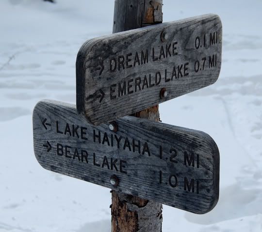
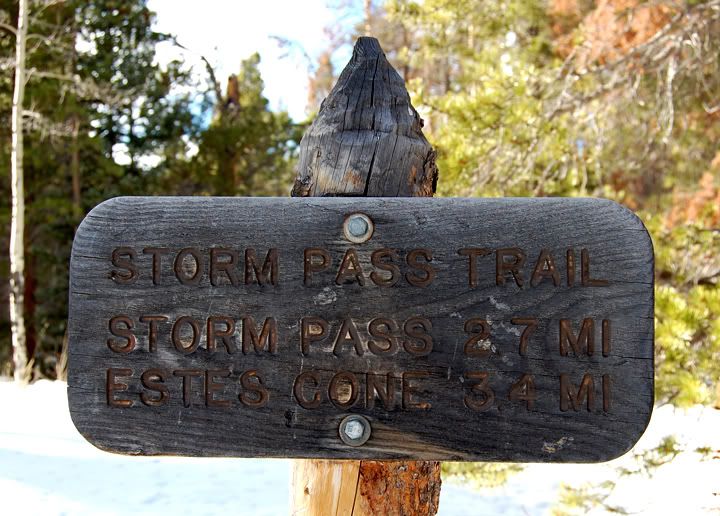
So this morning I decided to do another hike. I opened up my Rocky Mountain National Park TOPO map to refresh my memory on which hikes I wanted to do but haven’t done yet. Last year when I did the hike to Dream and Emerald Lake, I remembered passing by the sign to Lake Haiyaha, thinking I could hit that trail on the way back but it was getting late and I decided to save it for another time.


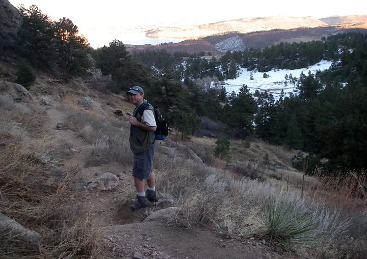
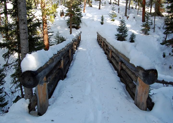
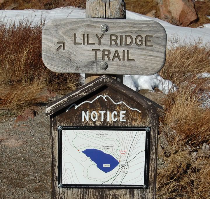
Sings on the trail, last time I went right, today I'm going left


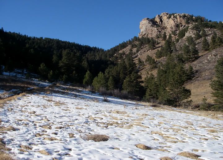
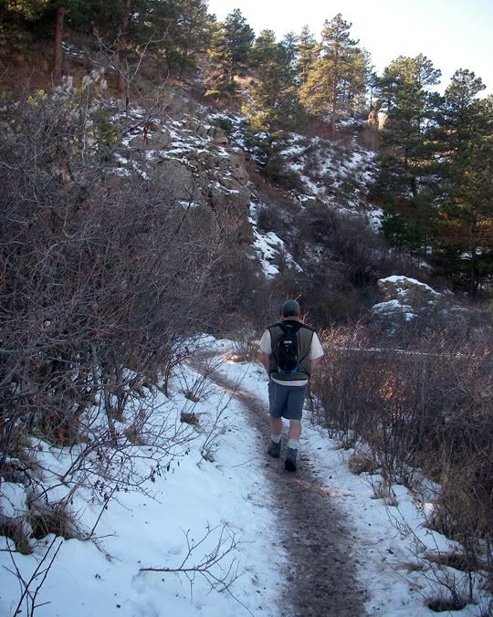
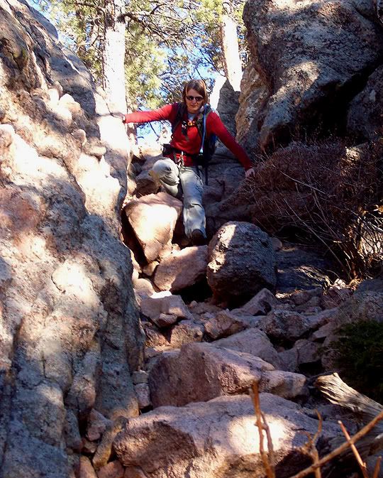
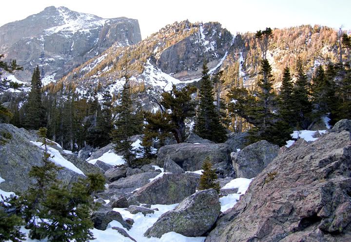
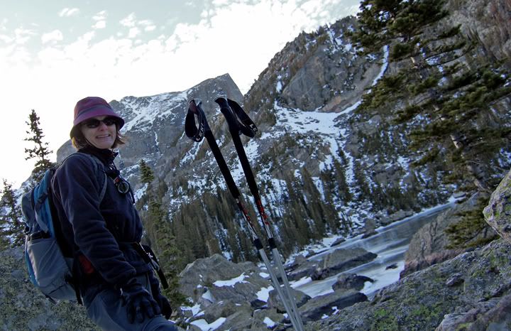
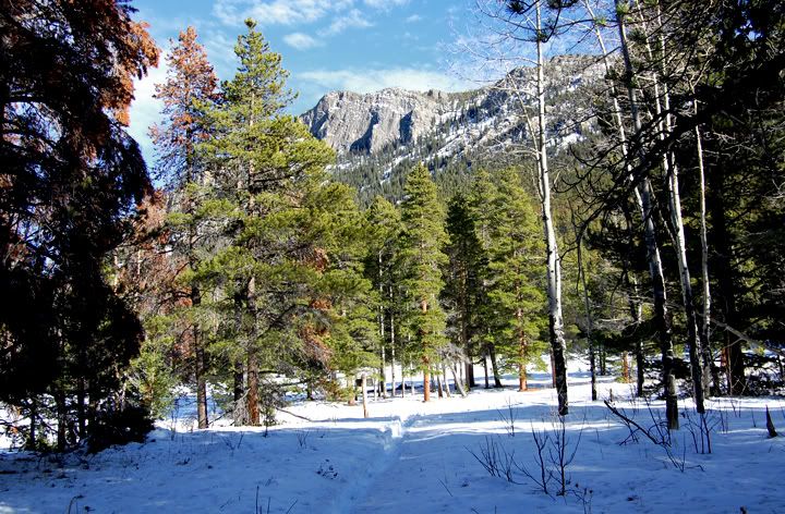
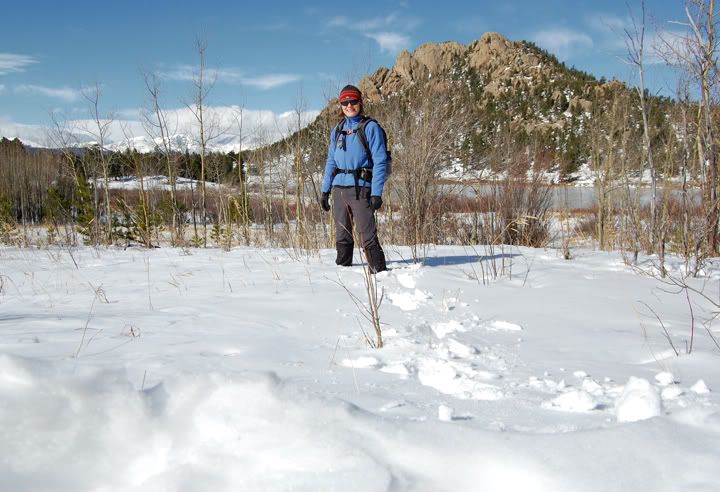
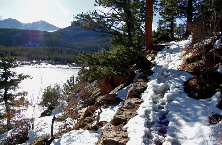
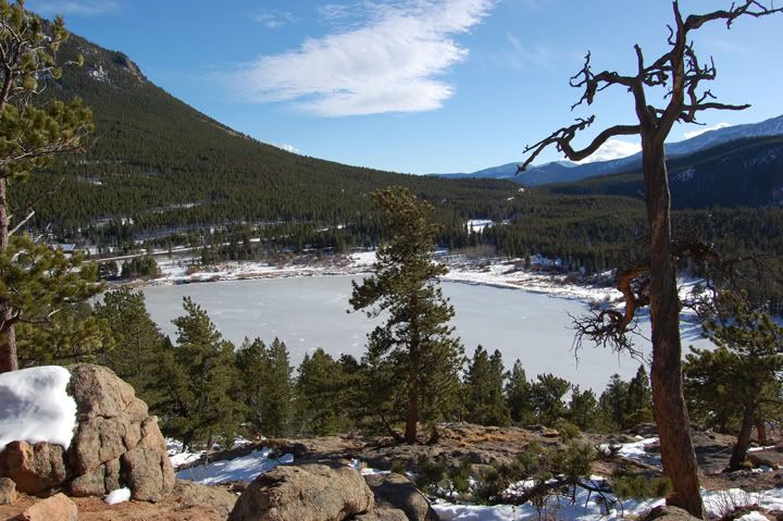
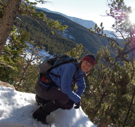
Lake Haiyaha was a good hike for today. Just a little over 4 miles long round trip and 745 feet of elevation change. I was still a bit weak from my N1H1 flu, but wanted a more challenging hike, compared to last weekend. The trail was snow covered and slippery in places and I ended up falling a few times. Some sections of this trail are steep and are very close to the edge, so I had to be extra careful. There were many people on the trail to Dream and Emerald Lakes, but once I turned off toward Lake Haiyaha and started to climb the trail, I didn’t see anyone else.


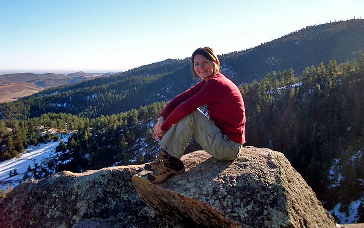
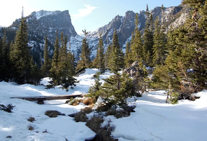
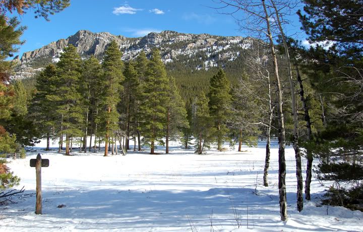
Looking towards Dream Lake


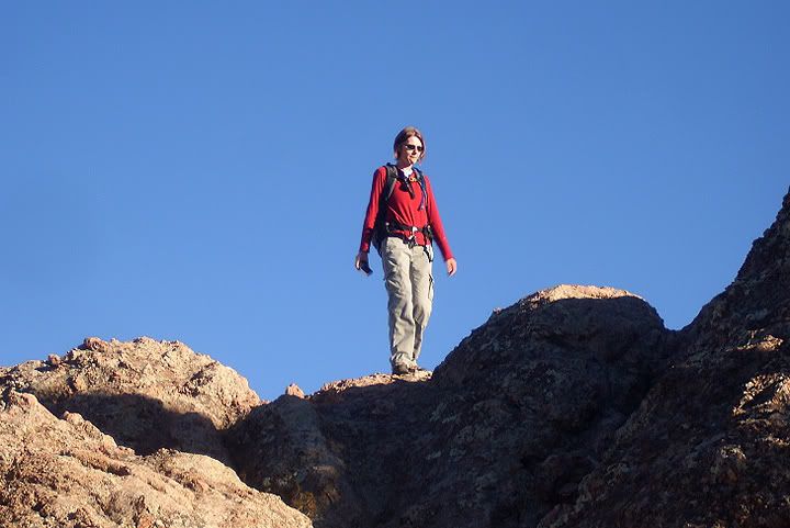
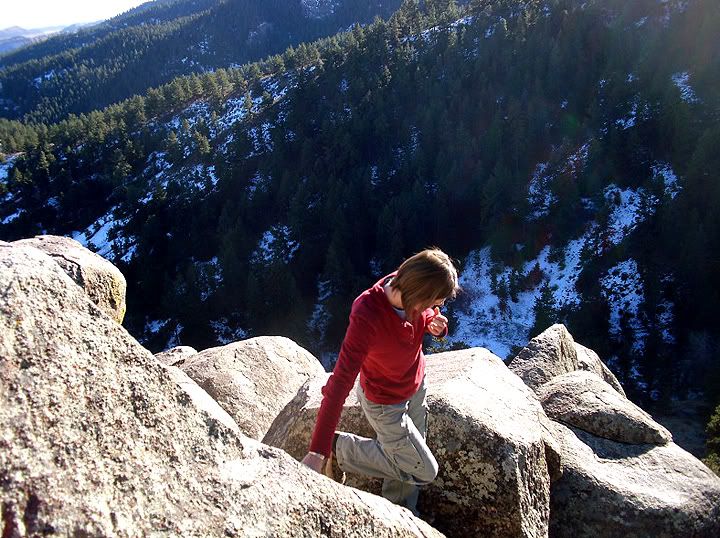
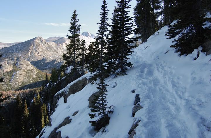
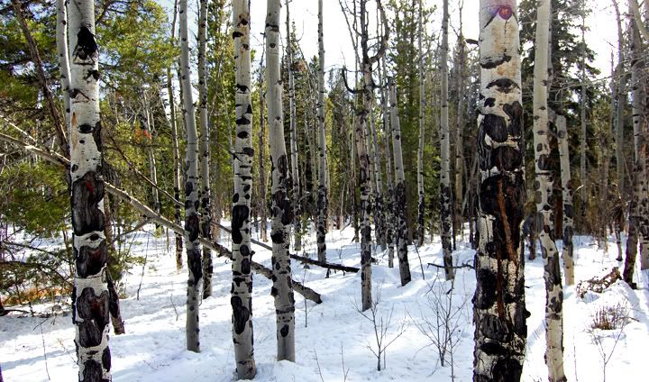
On the trail to Lake Haiyaha


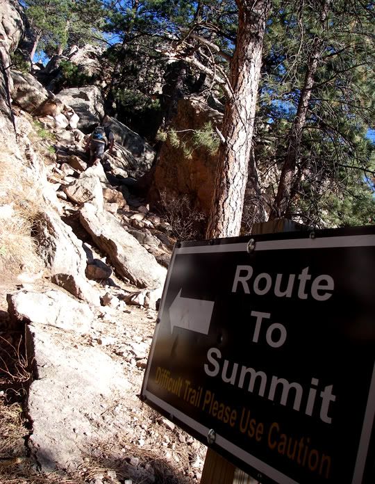
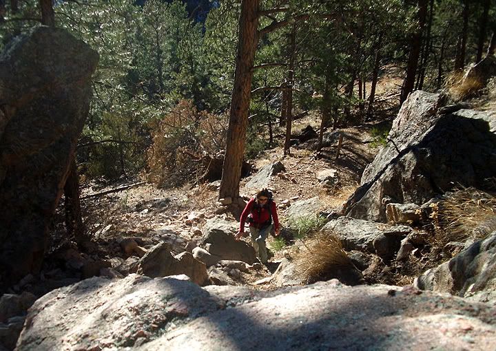
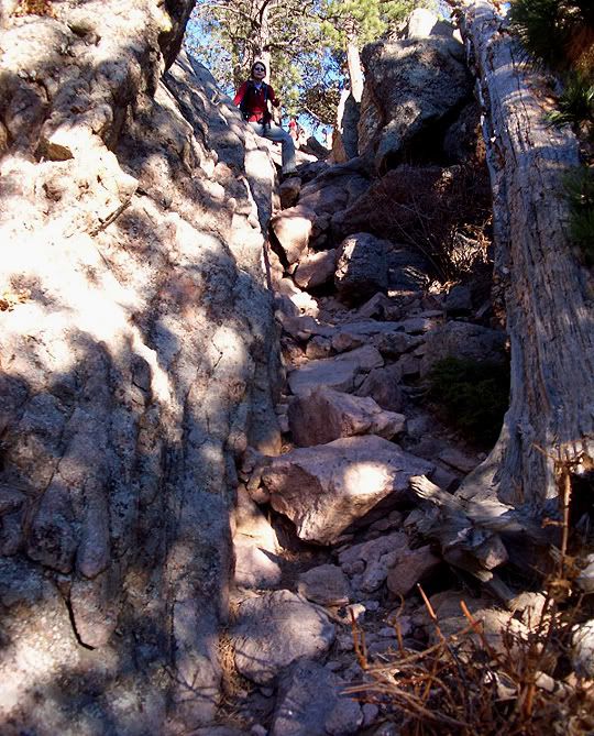
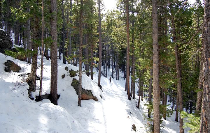
A steep section of the trail to Lake Haiyaha


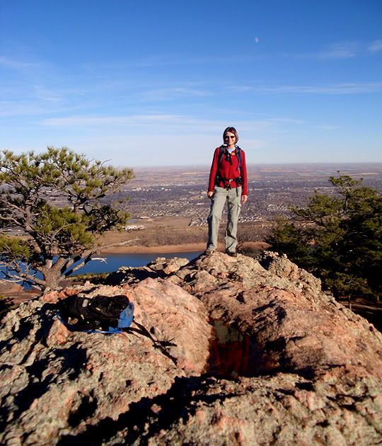
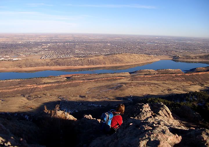
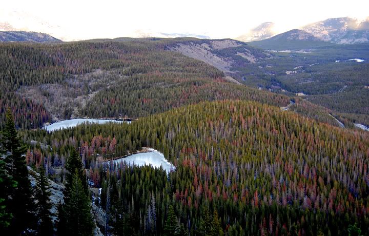
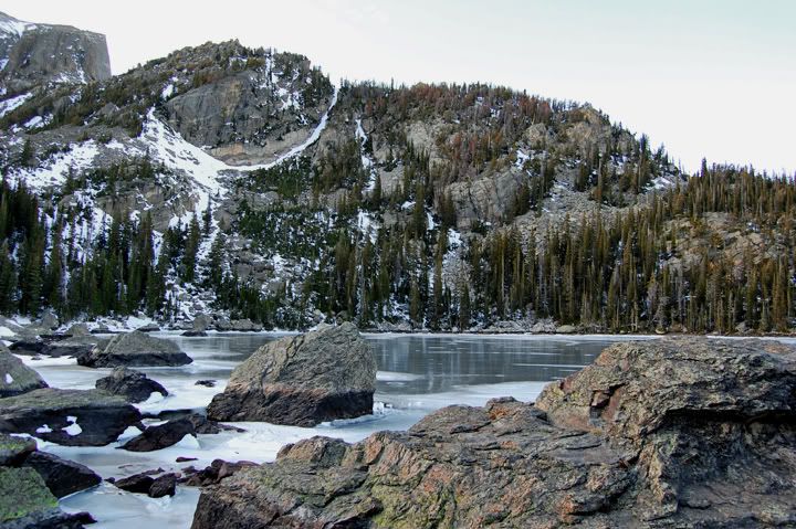
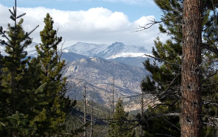
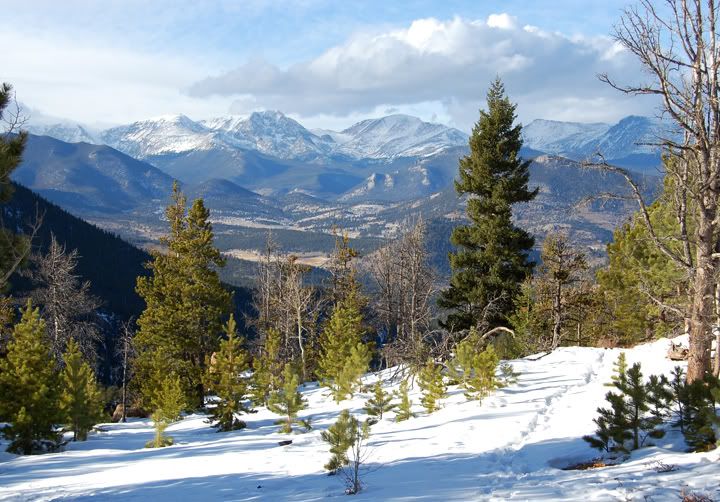
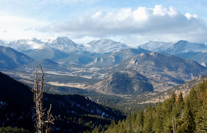
Looking down at the lakes from the trail

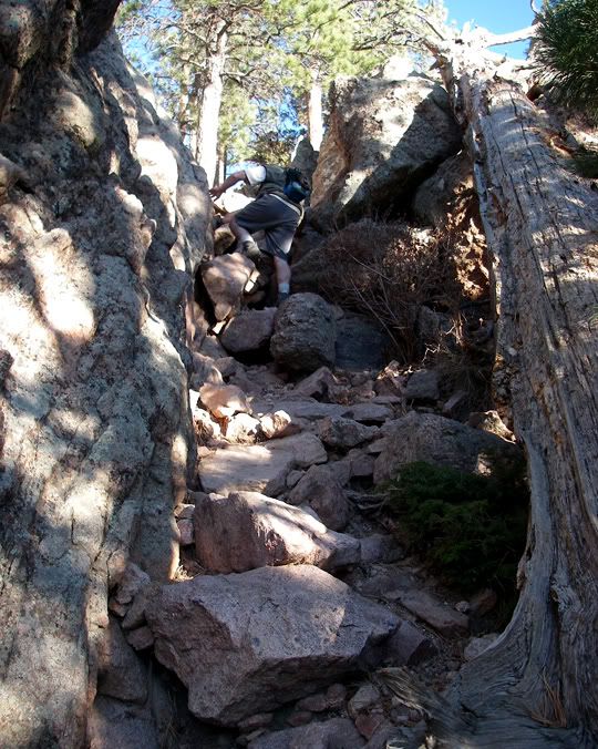
The trail was very easy to follow until I reached the boulders. There was no sign or cairns to follow. I started to cross the boulder field hoping the lake was in the clearing on the other side. There might have been an easier way to get there, but with the snow on the ground and no footsteps in the snow, I didn’t know where the official trail was. Finally, I made it to the lake. The sun was already on the other side of the mountains so I took some pictures, enjoyed the silence for a few minutes and headed back. I fell a few more times before arriving at the car. The trail was even more slippery now. Sections of snow that had melted earlier were starting to freeze now.


Boulders on the way to Lake Haiyaha
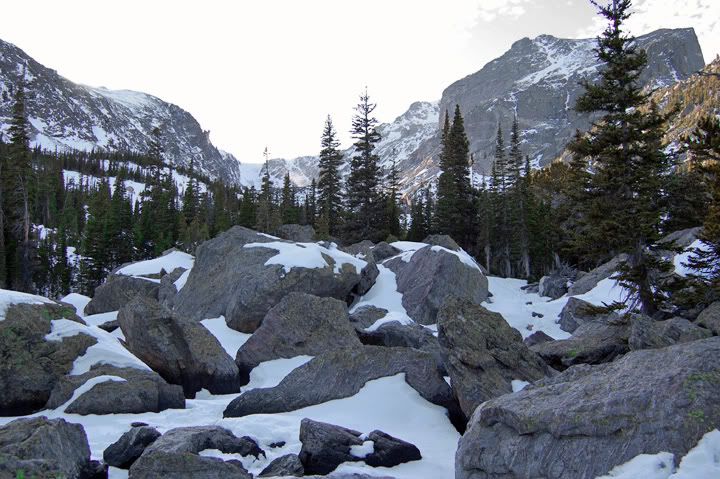


Lake Haiyaha


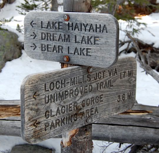
Bear Lake Trailhead Elevation: 9,475 feet
Lake Haiyaha Elevation: 10,220 feet
Bear Lake TH to Lake Haiyaha: 2.1 miles (one way)

Sunday, November 01, 2009

RMNP - Storm Pass and Lily Ridge Trail

It’s already November and today was the first day that I was able to leave the house for an extended amount of time in weeks. For the last 3 weeks I’ve been mostly bed-ridden with the N1H1 flu bug. In all my life, I have never been this sick and for such a long period of time. Unlike the regular flu, the swine flu is particularly nasty and long.

Unfortunately, I was still pretty weak today so I didn’t know how far I would be able to hike, but I was excited to be able to get out in to the mountains. We’ve had more snow and I wanted to see the mountains snow covered, that’s the way I like them the best.


Storm Pass Trailhead at Lily Lake off highway 7 in Estes Park

I decided to drive up to Estes Park and hike the Lily Ridge Trail, next to Lily Lake off of highway 7. It's part of the Rocky Mountain National Park but there is no entry fee. But that's not why I came here, I have a national parks pass that is still good until June 2010. I picked this place because if I really felt too weak to climb the ridge at Lily Lake I could just hike around the lake itself or just sit at one of the picnic tables. Lily Lake was easier to get to than the RMNP, and way less crowded.

When I got to the trailhead I remembered that the Storm Pass trail started at the Lily Lake also and l had wanted to hike that one for a while. This was a much longer hike than the Lily Ridge and I knew I wouldn’t make it to the pass itself and back, but I just wanted to see a bit of the trail.


Lots of snow on the Storm Pass Trail

I knew there would be a bit of snow up here and I brought my gaiters with me, but I didn’t bring my snowshoes and I should have. The snow was pretty deep and hiking it was an extra workout I didn't need today. I didn’t make it very far on the Storm Pass trail. For one, no one had hiked it since it had snowed and at times where the trail ran through an open area or dense trees, I just couldn't stay on the trail. There were trail markings, but far apart.

A few times I hiked out of the way in really deep snow to find the trail again. By the time I made it to the bridge where the trail started to climb I was thinking if hiking this trail was a good idea today. I was afraid that I would get a few miles out and then get really tired and not be able to make the hike back to the car. After lying in bed for three weeks, this hike might be been too much. I hiked about a quarter a mile past the bridge and turned around.


Pretty scenery along Storm Pass Trail

When I made it back to the trailhead I really wasn't ready to go home yet, so I decided to hike the Lily Ridge trail. Thes snow wasn’t very deep on this trail and I was able to follow foot steps in the snow the whole time. I really enjoyed both of the hikes, and by the time I made it to my car I was pretty exhausted. I probably hiked 4-5 miles total today.


Storm Pass Trail


Storm Pass Trail


Storm Pass Trail


Storm Pass Trail


Storm Pass Trail


Neat bridge on Storm Pass Trail


Lily Ridge Trail


Climbing Lily Ridge Trail


Lily Lake below Lily Ridge Trail


Lily Lake


A self-photo on top of the Lily Ridge Trail


Pretty cool view from the Lily Ridge Trail