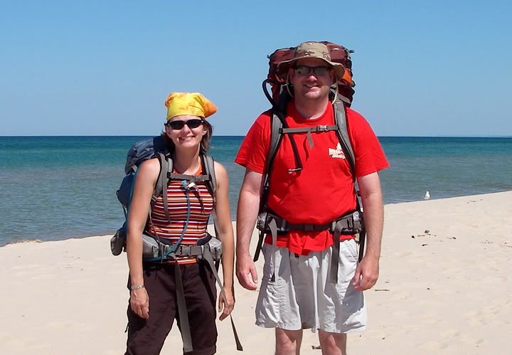
We started packing for our first backpacking trip last night, but this morning the packing continued. Our 9AM departure soon became 11AM and even then we weren’t ready. Instead of hitting the highway, we ended up going back to REI to make one more purchase. It’s something we have wanted to get for a while, something we could have used on our recent motorcycle trip, also something we could not do without if we were going to backpack. We looked at it yesterday when we were at the store but wanted to do more research on the internet about it before buying it.
We were in and out of the store within minutes with our new water purification system. The car trip up to Michigan was supposed to take us 5-6 hours depending on the traffic. We wanted to get there as early as possible but knew that if we got there a couple of hours before sun set, that still wouldn’t be too bad.
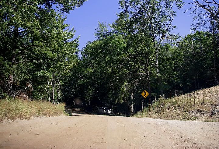
Once we got off the interstate we were supposed to take a bunch of smaller roads to Nurenburg Road which ended with the parking lot where we would be leaving the car for the night. Once off the interstate it was only supposed to take 30-40 minutes to get there but it took longer because all the roads going there were closed. Apparently a tornado passed through this area two months ago and many of the roads were still closed . We had to take an alternate route to the wilderness area. We would have been driving in circles had we not stopped at the gas station to ask. Before Mike had time to finish his sentence, the lady behind the counted handed him a small piece of paper with the directions to Nordhouse Dunes. This was a slightly longer route, and some of the roads including Nurenburg Road where the trailhead is located, were gravel/dirt with some sandy portions, which my Acura didn’t care for.
When we arrived at the parking lot at the end of Nurenburg Road we found the lot filled to capacity. But it looked like some people might be leaving so we waited while we got our gear ready for the trip to the beach. We parked the car and paid a fee, I think it was $5. We met a couple with some kids on the trail, they said a year or two ago this area was free.
This was it. There was no turning back. With our packs on and the GPS pointing the way toward Lake Michigan, we headed toward the trail located next to the parking lot. It was later then we would have liked, we less then two hours of daylight left but supposedly from everything Mike read on the internet about a the Nordhouse Dunes, the hike from the parking lot to the lake was supposed to take less than an hour.
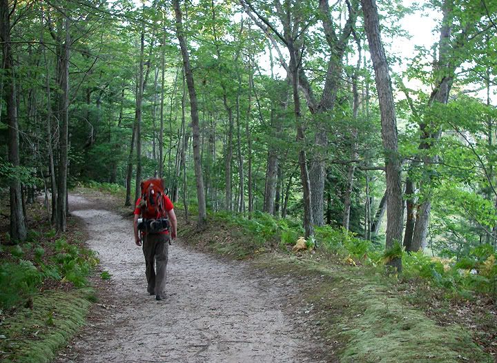
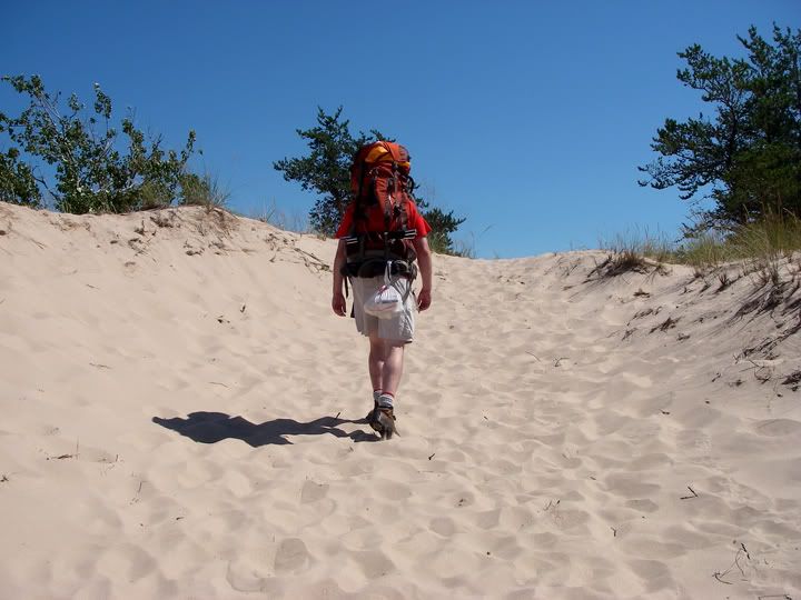
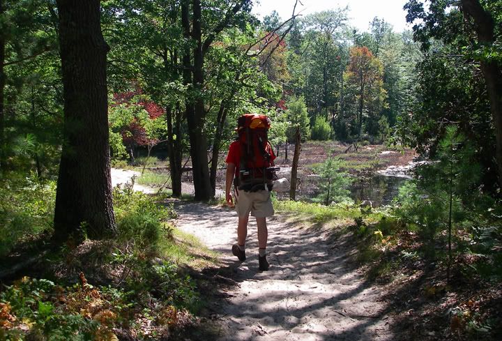
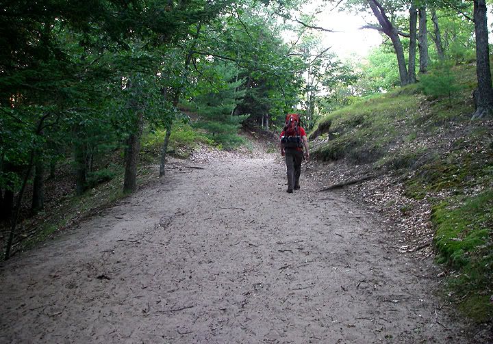 Following Mike on the sandy trail
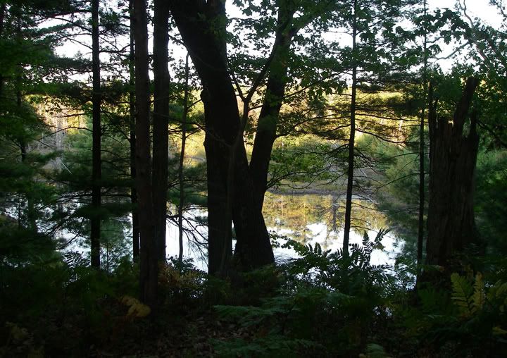 Views from the trail, a small pond behind the trees
After taking to one of the REI employees yesterday about all the places where one might backpack near Chicagoland, we were very intrigued by Nordhouse Dunes which was a place one could go to and not see people if one didn't want to. But we especially liked the fact that the trails weren’t flat. After all, in the future we would be backpacking in the mountains, so we wanted to get a taste of some changes in elevation and hiking in sand would definitely be the same or more strenuous then hiking up a slight slope. Within the first few minutes on the trail we knew this experience was going to be awesome.
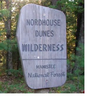
Nordhouse Dunes is a National Wilderness Area located inside the Manistee National Forest on Lake Michigan in the state of Michigan. It is the only designated Wilderness in the Lower Peninsula. There are about 20 miles of foot trails here and lots of shoreline with no sight of man-made structures. Because this is a wilderness area, there are no trail markings. Most of the dunes here are 3,500 to 4,000 years old and some stand about 140 feet high.
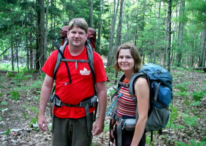 Mike and I on the trail
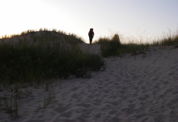 One more dune to climb
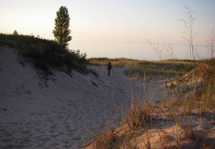 I can see the lake
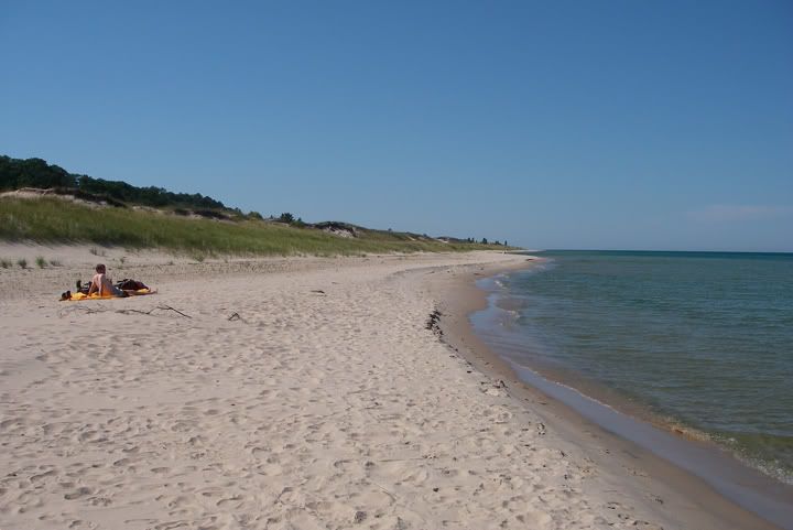
The trail was sandy and hilly but it wasn’t that strenuous even though we were carrying a bit a of weight, but it wasn't easy either. After about 45 minutes we emerged from the forest in to an opening, we had some small dunes to climb next. By now I was definitely feeling the weight of the pack. We climbed down the dune and Lake Michigan stretched in front of us as far as the eye could see. The water was very still. There were a few people here, but not too many. After all, who ever wants to use this beach has to hike here. It was also Labor Day Weekend so we expected that there would be a bit more people here this weekend.
We were looking for a spot to set up camp. We decided to hike further in and find a more isolated spot. The rule is that campsites must be more than 400 feet from the Lake Michigan waterline. After 30 more minutes of hiking, and climbing a couple more dunes we found “the” spot.
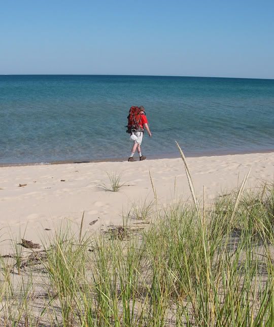
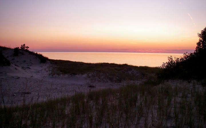
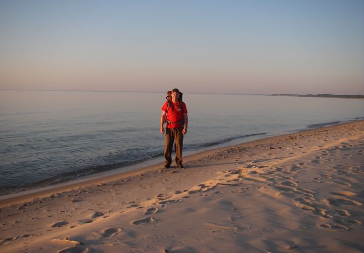 Lake Michigan
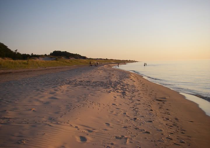 A beach at sunset
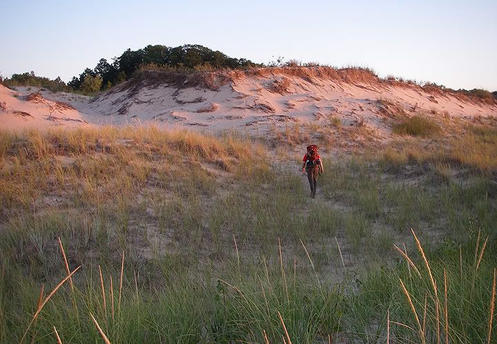 A dune glowing red with the reflection of the setting sun
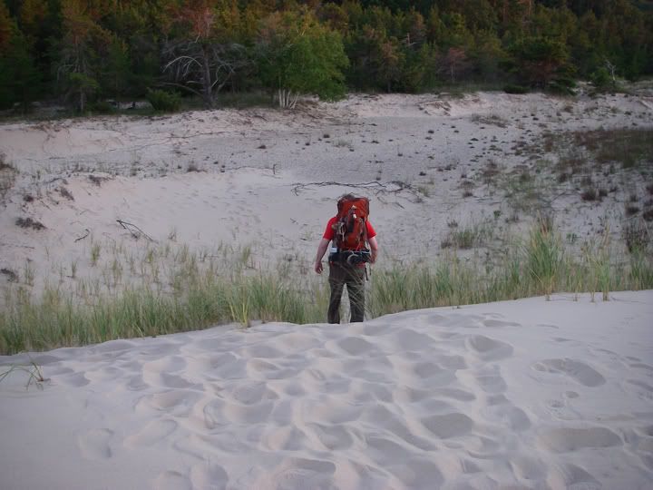 One last dune to climb before finding the perfect spot to set up camp
The sun was setting already so we had to hurry to set up the tent, soon it would be dark and there was no camp fires permitted. We managed to get the tent up and still hike to the beach to watch the sun despair behind the lake. The mosquitoes got me before I managed to pull the bug spray out. We ate our dinner, tuna and crackers, and got ready for bed.
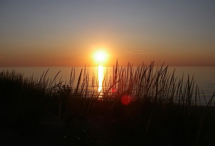 Sun set over Lake Michigan
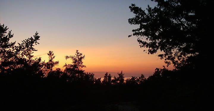
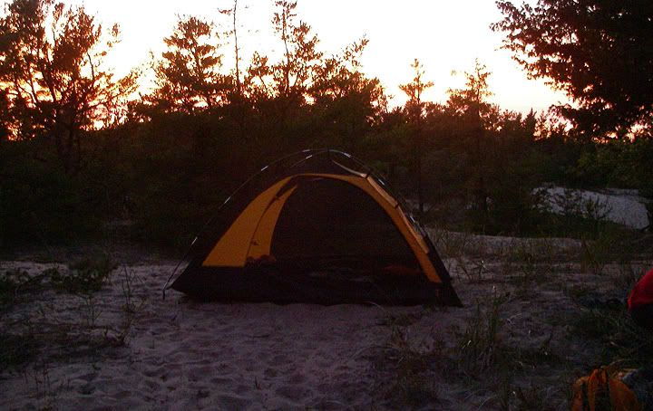 Our camp site
 The sun is gone
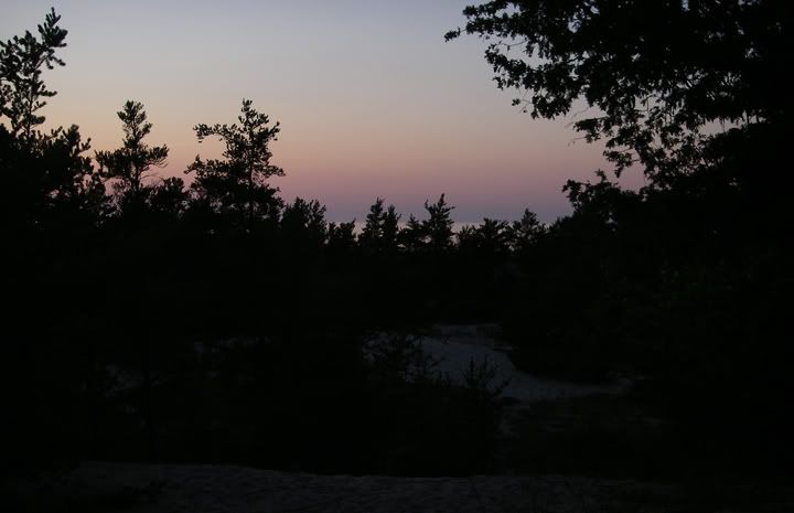 Darkness comes quickly
The overnight temperatures were not supposed to drop any lower then 50 degrees so we decided to leave the the rain fly off. The stars were out and there were so many of them, even some shooting stars. The roof of our tent is mesh so you can stargaze from the sleeping bag.