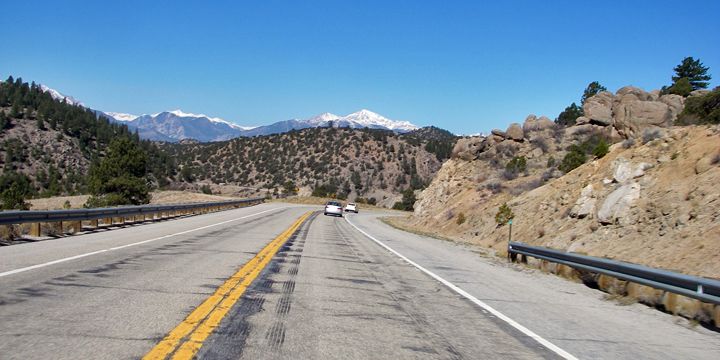
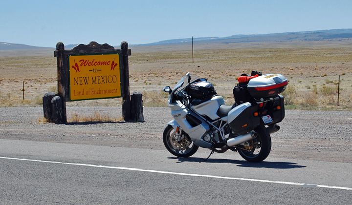
My alarm went off at 2:30AM. I had to leave the house by 3:30 to meet up with the group at 5AM just west of Denver along I-70. I already knew I wasn’t going to get enough sleep for this hike since I ended up going to bed at 10PM last night.
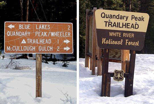 Quandary Trail signs
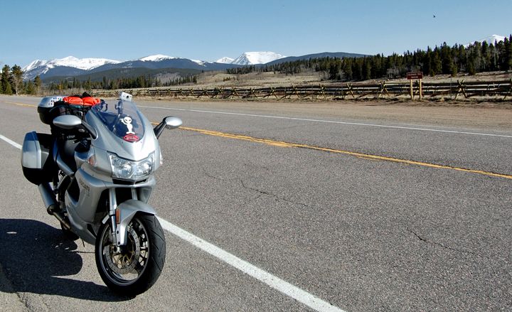
I was already packed and ready with all my gear, so when the alarm went off I just had to make coffee, grab some breakfast and get dressed. I was out the door and making good time on the highway since it was totally empty. Hydrating as I drove, preparing myself for the highest climb so far. This was my first attempt at climbing a 14er.
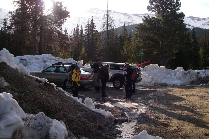 Getting ready to hike
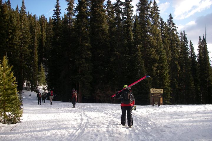 Heading to the trailhead
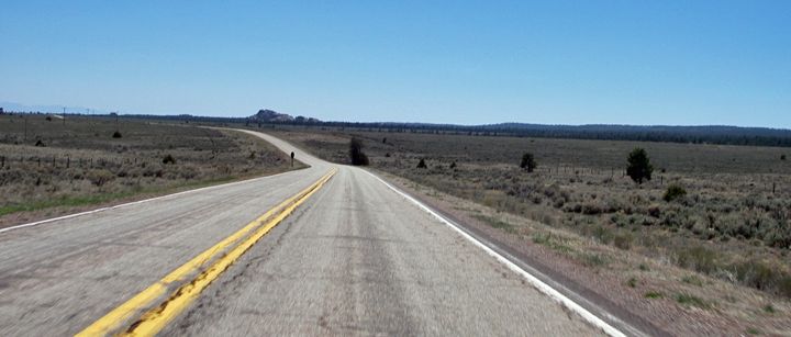
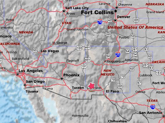
Quandary Peak is located 6 miles southwest of Breckenridge on highway 9 in the Arapaho National Forest. It’s the highest peak in the Tenmile Range, a northern extension of the Mosquito Range. It is the 12th, 13th, or 14th highest peak in Colorado, depending on how it is ranked. Quandary's easiest route is the standard class 1 walk up along the eastern ridge. An excellent beginner hike for a first 14er, with a route of only 7 miles round trip and elevation gain of 3500 feet.
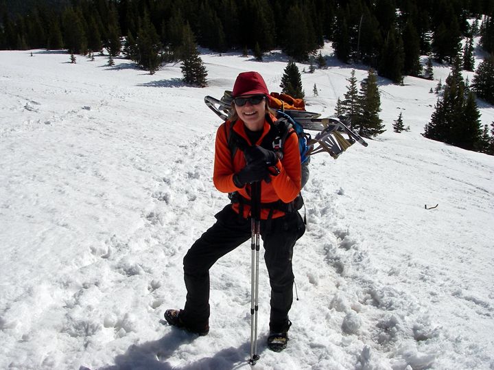
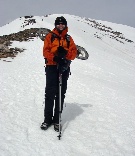
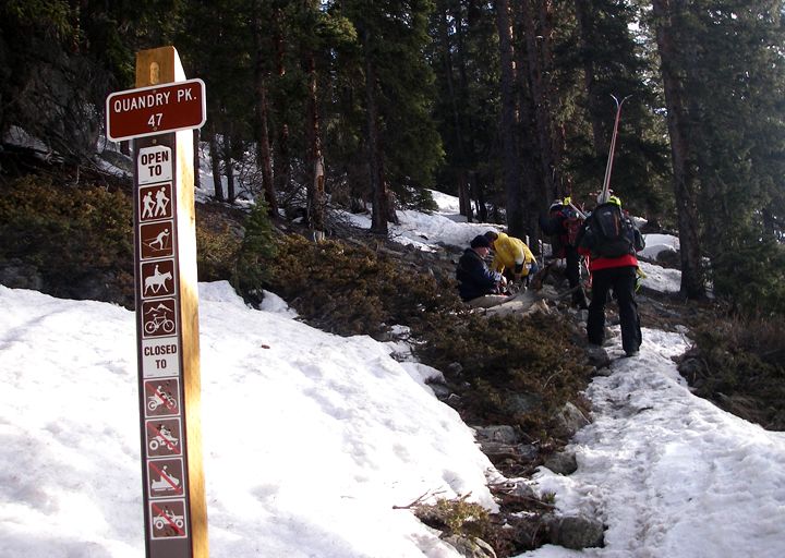 Putting Yaktrax on at the trailhead
I arrived at 5AM to meet up with the group and we car pulled to the trailhead, stopping once at the Starbucks in Breckinridge for coffee and bathroom. I already had my coffee this morning, I continued to hydrate with water.
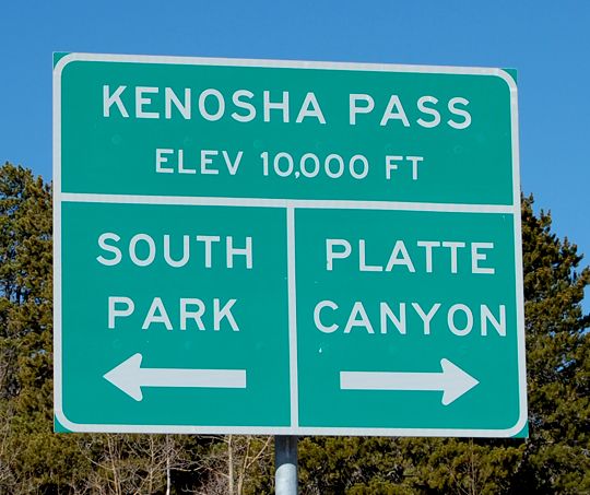
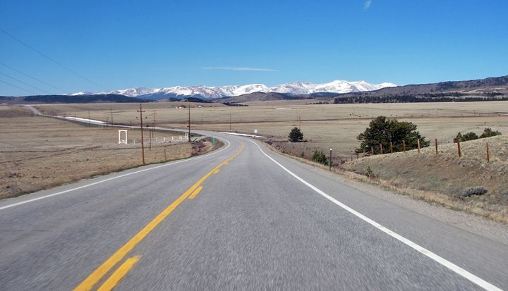
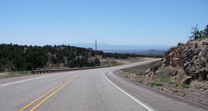
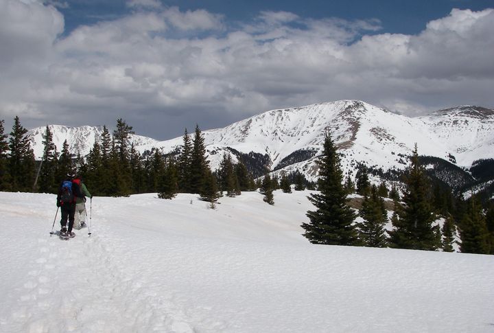
Access to the East Ridge Quandary trail from highway 9, required us to turn west onto Summit County 850, following the signs to "Blue Lakes". Then take an immediate right (north) onto McCullough Gulch Road (Summit County 851) and drive 1000 feet to the main trailhead. There is another trailhead 1 mile up the road with a wood sign marked "Quandary Trail" but because of snow we had to leave the car on the main road and hike to the actual trailhead. We arrived and were parked around 7AM, geared up and started the hike at around 7:30.
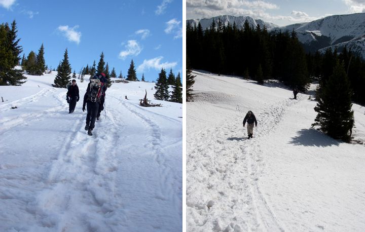
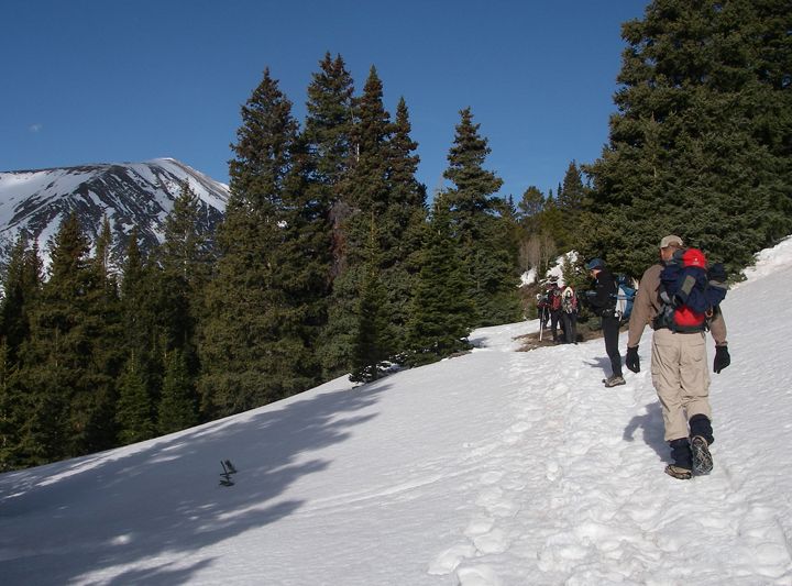 Starting the hike toward the summit
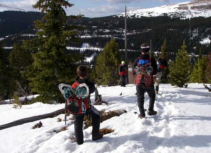 The youngest person in our group was 12
It was a beautiful day so far but we were watching the weather for days and knew there was a storm coming today. We though it would hit early but so far it looked clear. Some predictions had the storm hitting late in the afternoon. The plan was to go up as far as we could, if we made the summit that would be awesome but if we didn’t that was OK too. A few people ended up canceling the hike because of the weather forecast, so there was only 7 of us.
 Climbing and climbing
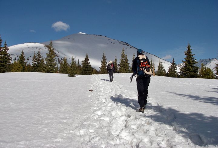 Heading for the Quandary Peak ahead of us
We hiked to the main trailhead and put on out Yaktrax, the snow was very well packed, the Yaktrax would give us more traction. We had snowshoes strapped to our packs for when the snow got deep and soft. We knew we would be hiking in snow all the way to the summit. Which would make this easy 14er summit hike a little harder.
The trail started out with an immediate climb and switch backs. I started to peel off layers immediately, not wanting to overheat. We continued through the trees and finally started to climb up higher, leaving the trees behind us. From here you could already see some amazing scenery in all directions and highway 9 was just a twisty snake in the distance down below.
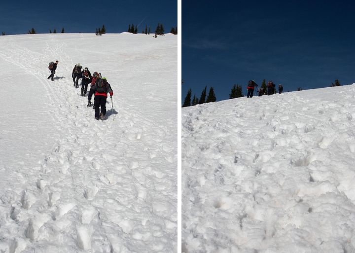 More climbing
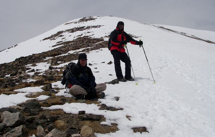
In front of us was a great while hill, and we started to climb it. My pace is still very slow and there were two others that were slower as well, the three of us made a “slow” group while the other 4 continued up at a faster pace. One of the climbers in the faster group was a 12 year old boy, the son of the organizer, this was his 13th 14er, while me, at the age of 40 - I’m trying to bag my first one.
 It was nice, warm and sunny in the early morning
Once we reached the big hill it was colder and windy. We stopped to put on our jacket shells, it wasn’t going to get any warmer than this. I was told that the wind would get very bad toward the summit.
We continued up but the pace got even slower. The eastern ridge route was in plain sight, as was the peak behind it. We climbed and climbed and climbed but the peak didn’t seem to get any closer. There were quite a few people climbing this summit today, many on skis. They all passed us. We kept looking ahead at the route to the summit. It looked like an ant hill, with a single file of ants climbing toward it. But these weren’t ants, they were people far a way in the distance.
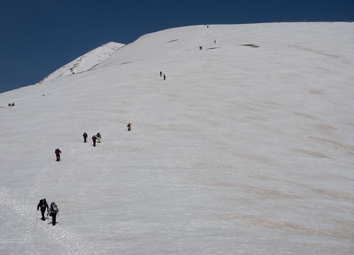 Many people heading for the summit this morning
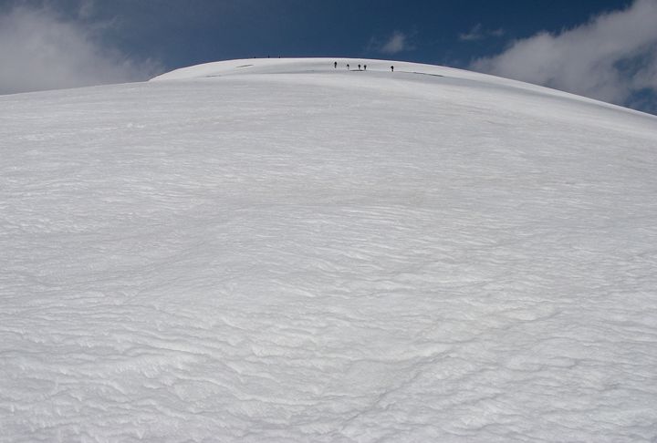 People in the distance, so far away they look like ants
We continued to climb, and reached a narrow portion of the ridge, which was almost level. I figured this was the place the catch up with the faster group, I could see them in the distance, they didn’t look that far away. But even though the ground was not very steep here, I was hiking now at nearly 13,000 feet in elevation and I was moving very slow.
 That's highway 9 down there
The next section was sleep, the steepest so far, we continued upward, the temps kept dropping and the wind was now blowing constantly, hard at times. I began to count my steps to get in to some rhythm. I felt that I was stopping too much. I would make 30 steps and take a break, then 30 steps again and stop for about 30 seconds to a minute. This method worked well for a while but the mountain got steeper yet. Trekking upward in snow was way harder now. On the steep section I could have actually used my ice axe, although I didn’t bring it since I didn’t think I’d need it for a class 1 summit climb.
It would have been a better tool than my tracking poles for getting up the steep sections that were covered by snow. On this steep section it was one step and rest, one step and rest. Making sure I stepped in a place where I wouldn’t slide back down. The concentration was starting to get a bit fuzzy now. The summit was just above us, it was visible now for the last couple of hours, taunting me. So close but yet so far away. It almost felt like I was climbing up a escalader that was going down. I made so much effort to keep moving toward the summit, but the summit was still way back there in the distance. The wind was picking up fast, and the temperatures were dropping even more now. I noticed the water in my platypus hose starting to freeze. I wanted to get a neoprene sleeve for it so many times now, but somehow I kept forgetting. I changed my gloves from the thick fleece ones to my goose down mittens, my hand were cold now and even 30 seconds without gloves made them start hurting.
I had my down jacket in my pack, which I would have wanted to put under my shell at this point for extra warmth but I should have done that way before, when I was on the level part of the ridge. It was steep here, so I couldn’t pull my pack off. I continued. The slope gradually got a bit better to hike, wasn’t as steep as before. I checked my altimeter, 13,600 feet in elevation. Pushing all the buttons on the thing to display the elevation was hard work that required lots of concentration at this point.
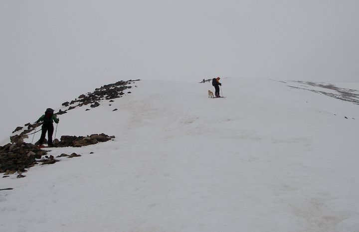
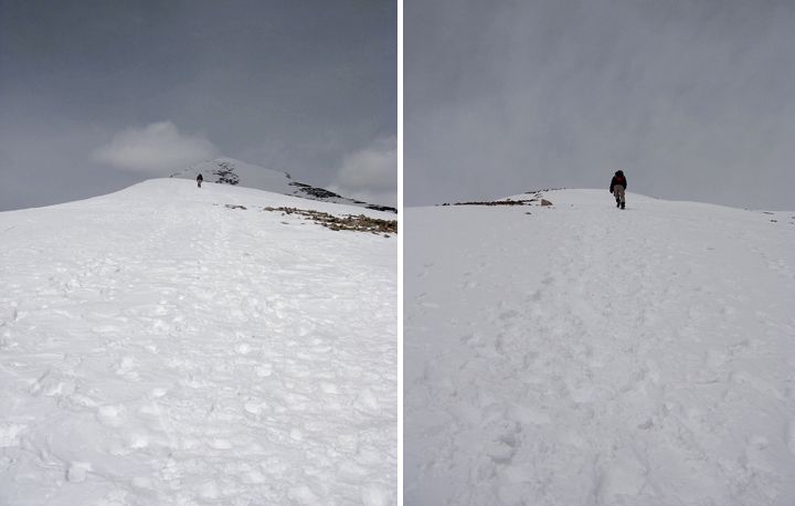 More climbing, the steep stuff is coming up (left), closer to the summit the snow starts (right)
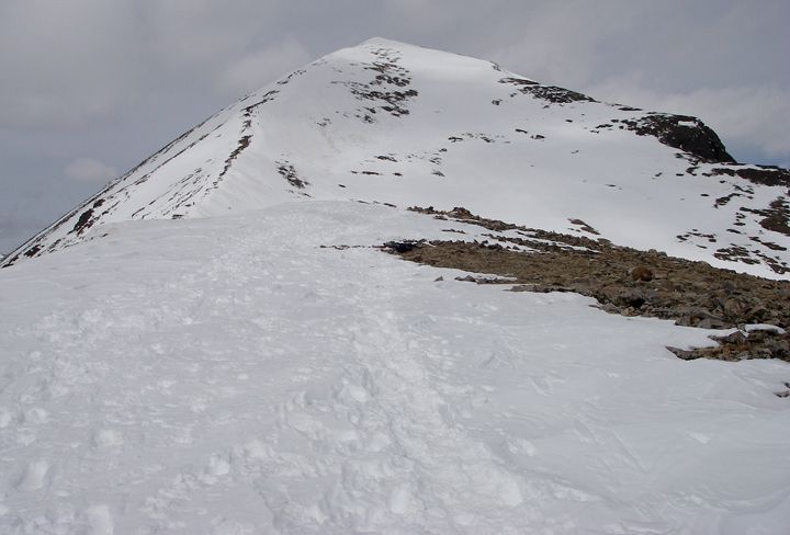 Getting closer now
 Clouds rolling in behind me
When we started this hike, The peaks to the left of us had blue skies above them, but over the next few hours the clouds started to roll in. Now the peaks were shrouded in clouds, and now there was snow blowing hard form that direction. We continued up, it didn’t seem like we were that far away from the summit now. I really wanted to put my down jacket on, I was starting to feel cold especially stopping so much but the idea of stopping, removing my snowshoes which were there were attached to my pack, digging in my pack and getting the other jacket out, and taking off my shell to put the other jacket on underneath and securing my snowshoes again on my pack - that was too much, I was too high up, it was too windy and I would have had to take my gloves off, I couldn‘t do it with my mittens and I couldn‘t take the mittens off. I should have brought my silk glove liners to wear under the mittens. The window of opportunity to get more layers on had passed. I wasn’t freezing yet, I was just cold. I had on an insulated turtleneck, a fleece pullover, a fleece vest and my jacket shell. As long as I kept moving I was fine, but it was hard to keep moving with needing to rest with every step.
 Some of those ants behind me is our group heading for the summit
After about half an hour, the pace slowed down even more. Actually there was more stops then hiking. I would kneel in the snow at times, this helped me to get out of the wind a bit and give my legs a break. The wind was really blowing now and one of my snowshoes came loose from my pack, I was glad that Tom was a bit down the slope from me to grab it and strap it back on my pack. I have to find a better way to carry my snowshoes.
 Almost at the summit we turned around because of the storm, we waited for the rest of the group to join us, those ants up on the mountain are them coming down from the summit
 The storm is closer now
 Views to the north
By now some of the people that passed us earlier in the day heading to the summit were passing us heading back down. This had to be a good sign right? This had to mean we weren’t that far away from the summit. We asked one of the guys that was on his way down “How much further to the top” he said “about 35 minutes, but hurry, the storm is almost here”. That might have been 35 minutes for him, for us at our slow pace, that was probably an hour.
 I clicked this picture as I came back down the mountain, the storm arriving at the mountain
 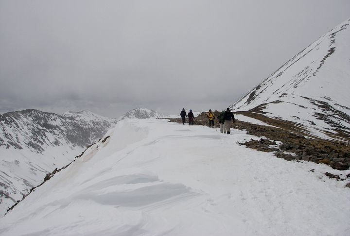 Our group heading down the mountain
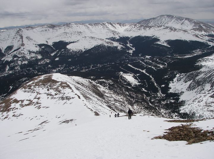 Looking to the east
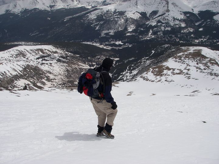 This was steeper then it looks and this is not even the steep section
The wind was only going to get worst, the temps were only going to drop and the last part to the summit was supposedly the hardest. We stopped to contemplate our situation and made a decision to turn back. The storm was upon us, and who knew how much worst it would get toward the top. We climbed too slow and we ran out of time. A few minutes later we saw the rest of our group coming down the summit. We also continued back down, stopping further down the ridge where the wind wasn’t as bad, letting the fast group catch up with us. The faster group made the summit but turned around immediate to head back down the mountain. The winds were really bad up there and the last section of climb to the summit was the most challenging of the whole trek. From what we were told, we were only about half a mile from the summit when we decided to turn back around.
 Wind blowing, snow falling and it was cold up there
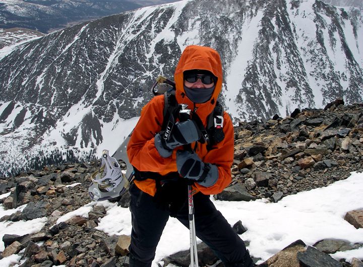
Half way down the mountain the mountain the storm had passed and the summit was again surrounded by blue sky. The three of us that didn’t make the summit today, joked about turning back around and trying to climb it again, but those were just jokes. By now my lack of sleep was starting to catch up to. I was loosing energy fast, I had used my second wind, and third wind and possibly my forth wind for climbing to the summit. I was all out of wind.
 Snowshoeing back down the trail
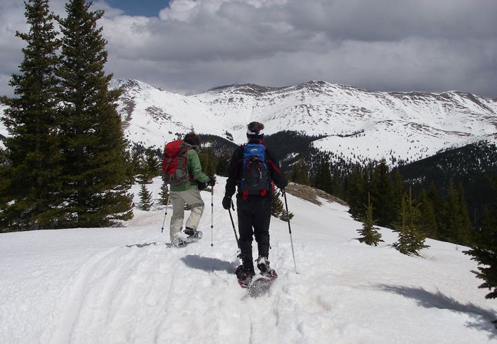
 Tom didn't bring his snowshoes and kept falling in to deep holes in the snow
I was starting to day dreaming about how nice it would be to curling up in to a ball somewhere for a short nap. But we still needed to get drom the mountain. The wind continued blowing, but not as bad as we had experienced up higher in elevation. The temps were cooler now. We made it down the mountain relatively fast. The deep snow was melting toward the bottom of the mountain and walking in it was very difficult. The foot would sink as far down as the knee or the hip. We stopped and took of our Yaktrax and put on our snowshoes. This was much better, the snowshoes allowed us to float on top of the soft and deep snow. We made it to the parking lot by 3:30PM. I was exhausted, not so much from the hike itself but probably more so from the lack of sleep and trying to hike at such high elevation. We were all starved so we stopped in at the Breckenridge Brewery for an early dinner. I had to pass on the beer, knowing that I still had a 1.5 hour drive to Fort Collins once we got to where I left my car parked west of Denver. Even though I was so starved, I was too tired to eat. I took most of my food back home with me in a doggie bag. I was glad someone else drove, I got to take a little nap in the backseat all the way from Breckenridge to West of Denver. That helped so much. By the time I got to my car I was rested enough to drive home. But I went to bed as soon as I got home, about 7:30 PM.
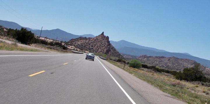
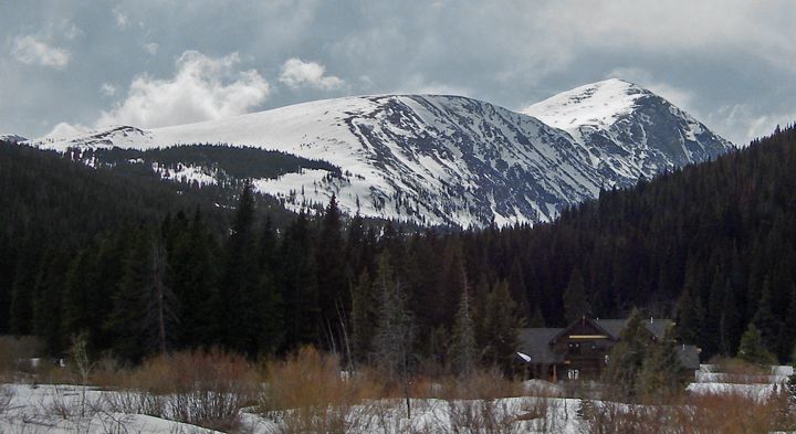 A shot of Quandary Peak out the car window as we headed toward Breckenridge - I'll be back!
Lessons learned from today’s experience? Yep, there was a few.
First, there is no such thing as an easy 14er. Even the easiest 14ers are much, much harder than a regular hike in the mountains, mostly because of hiking at such a high elevation, plus the cold temperature and very strong winds and quick changing and unpredictable weather.
I learned that it’s a good idea to put on the layers before it gets too cold and before one climbs too high.
I was told that this summit will be a lot easier to do once most of the snow is gone, so I’ll be back and I am getting to the top of that summit. Next time I would also like to camp near Breckenridge, so I can get up in the middle of the night and drive in from Fort Collins. That is just too much on the day of the climb.