Finding people to sport-tour with that have a similar riding style is not as easy as one might think. Out of the many people that ride motorcycles, only a small percentage of riders regularly travel on their motorcycles. And from that group, not too many ride the way I do. I enjoy the roads and curves but I like to stop and see things along the way also, take many pictures, maybe do a hike and I also like to camp.
Today I was heading out for a ride with another sport-tourer that supposedly had a similar riding style to mine. Unfortunately I went to a BBQ/birthday party last night so I didn’t have a chance to plan a route for today. This was a last minute type of a ride, since originally I was supposed to be in Northern California this weekend but a job interview at the beginning of June made me cancel my two week ride out to California and the Pacific North West.
Dalton and I decided to meet in Longmont this morning since he lives east of Denver, and Longmont was kind of in the middle. My tentative plan was to ride 119 which I haven’t been on yet and some of the roads west of Denver and beyond.
I always plan my rides in the software Microsoft Streets & Trips, but today I was going to do it the old fashioned way, with a paper map. Dalton and I looked over the map and selected some roads that made a loop, unfortunately we didn’t total up the mileage, so we really didn’t know how many miles we had to ride but it didn't look like that many miles.
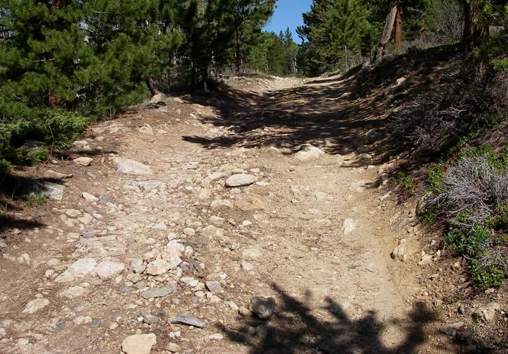
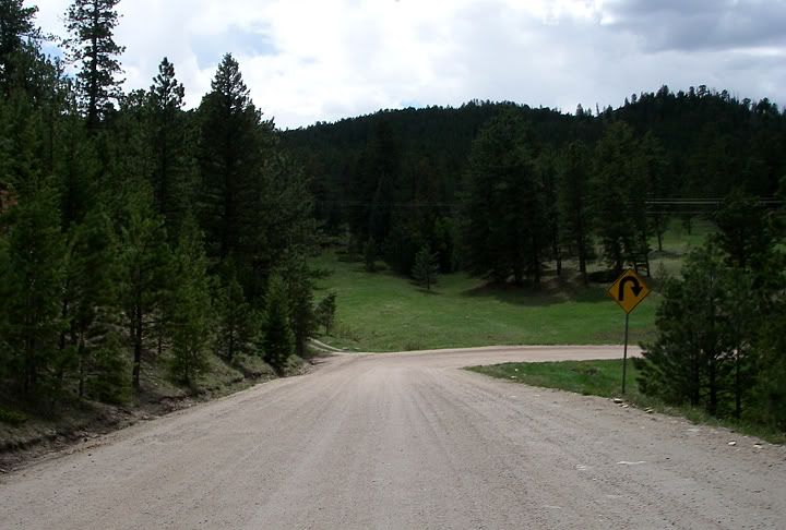
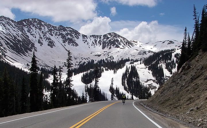
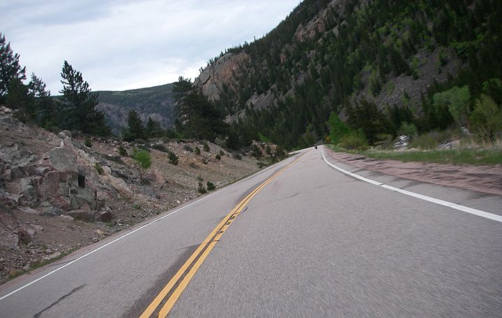
We headed west from Longmont on 66 and in Lyons we made a left on 7 heading south. Then we took 72. I haven’t ridden either of these roads since last summer when I was visiting Colorado and staying with Rita & Carl. These are great roads although there was a bit of traffic today. From 72 we continued to 119 heading south. 119 had definitely the tightest curves of the three roads, and lots of motorcycles on it but also more car traffic.
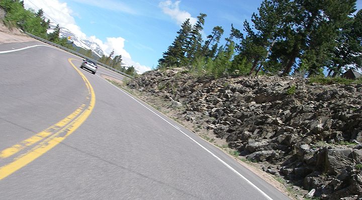
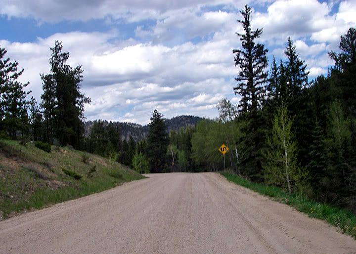
On 119 heading south
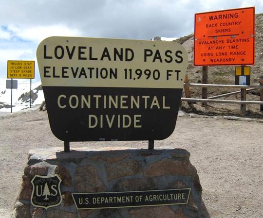
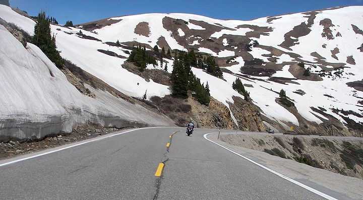
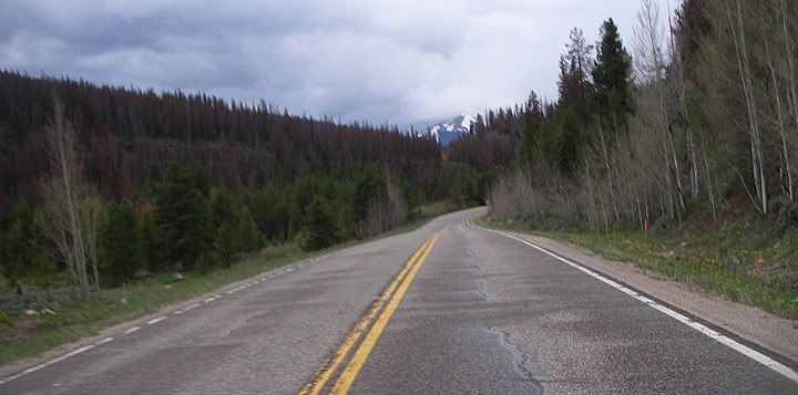
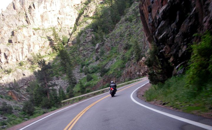
From 119 we turned on to 6 heading west and then I-70 just for a bit. From there we took the exit for 6 and rode up to Loveland Pass. This is one of my favorite passes. We stopped at the pass for some pictures and I had to throw a warmer layer on. The midday clouds were moving in already and the air was chilly at this elevation. We arrived in Silverthorne around lunch time and wanted to eat at the brewery but they were not open yet, so we went to Smash Burger. The burger was very yummy.

Heading west on 6 to I-70
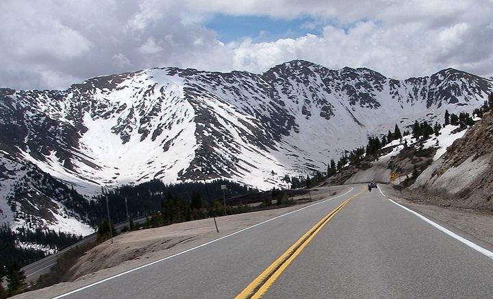
After lunch we took 9 north. This road doesn’t have many curves actually but the scenery is very nice. In Kremmling we turned on 40 east, also not a very twisty road, but just before we reached the town of Hot Sulphur Springs, there was an amazing section of road that traveled through a canyon, with some beautiful rock formations, that right there made this road totally worth it.
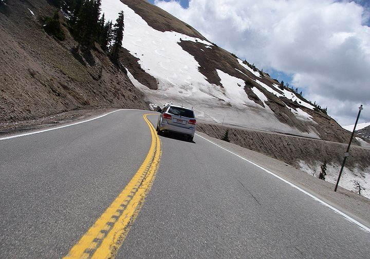
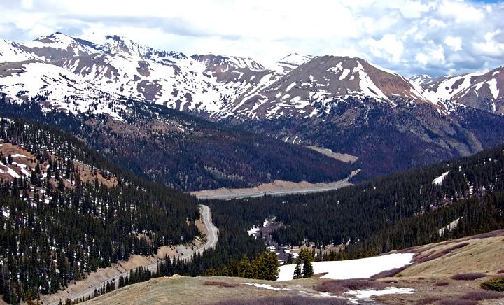
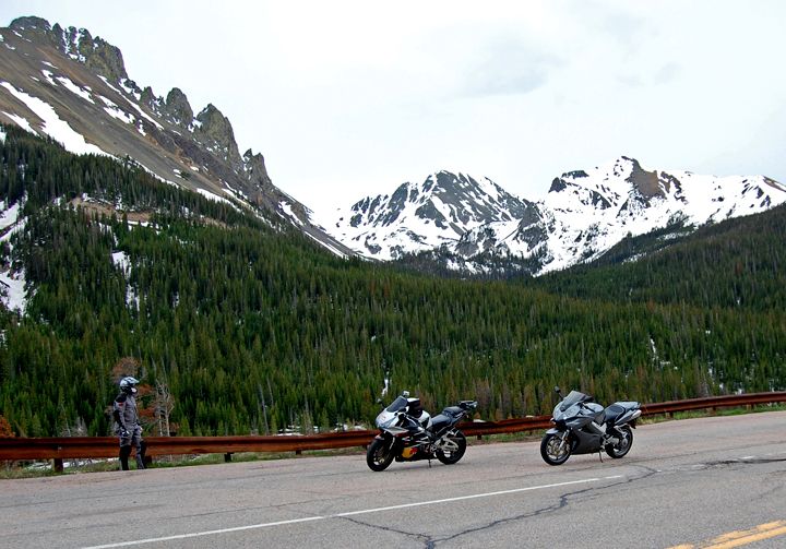
Heading up to Loveland Pass on highway 6
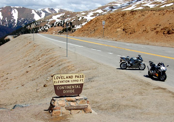
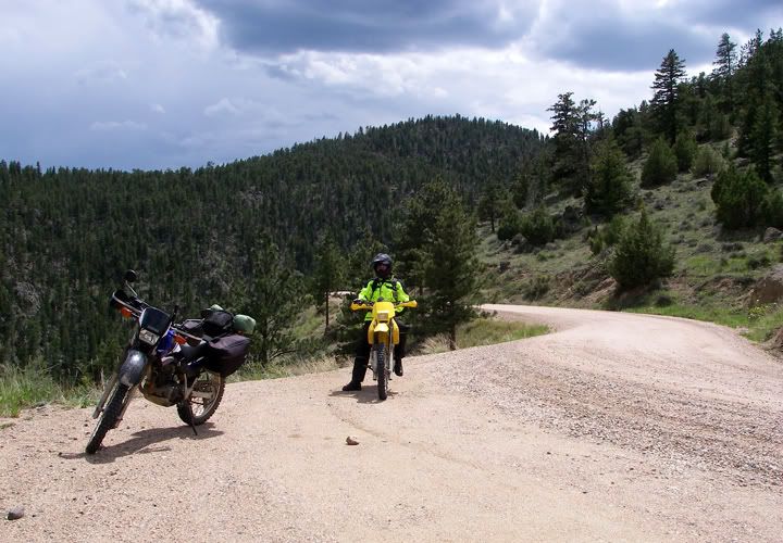
The bikes at Loveland Pass
When we left Silverthorne there were already many dark clouds forming around us and once we got on 9 we were heading straight for them. We finally encountered rain on 40. Today was a cool day, but the rain plus being up in elevation made some sections of the route a bit on the chilly side.
Highway 6 climbing to Loveland Pass
Dalton took this picture of the scenery from Loveland Pass
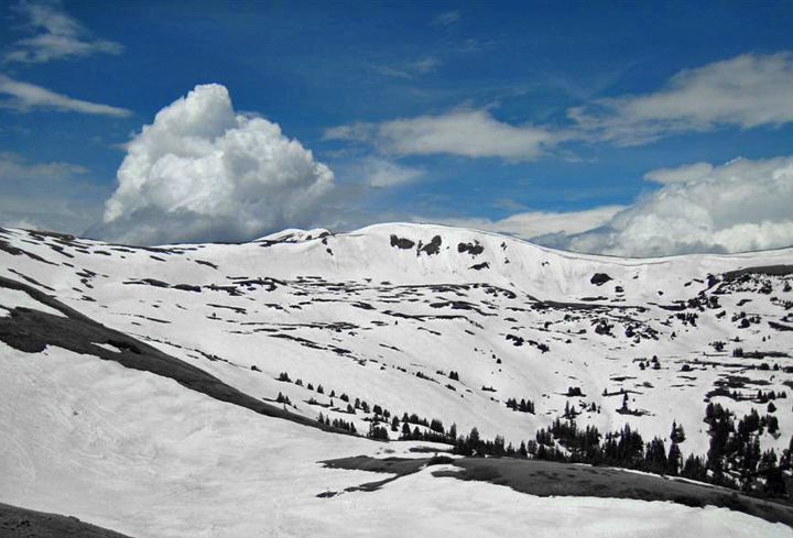
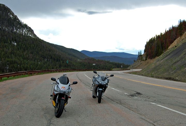
Looking east from Loveland Pass
Looking west from Loveland Pass
Moving road obsticle on highway 6 coming down from Loveland pass
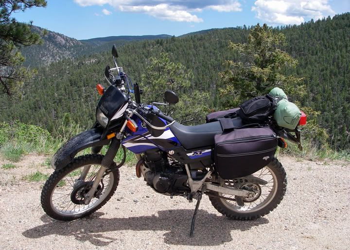
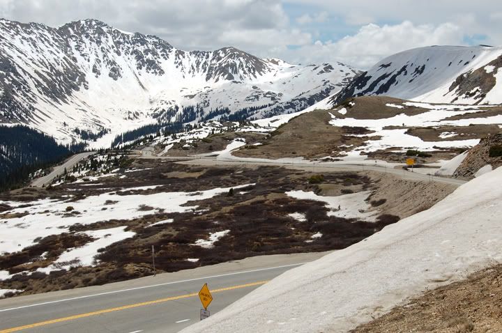
West of Loveland Pass
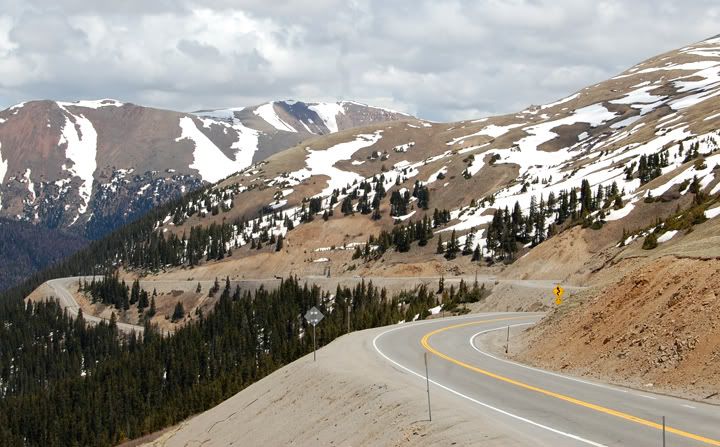
Some of the tight curves on highway 6
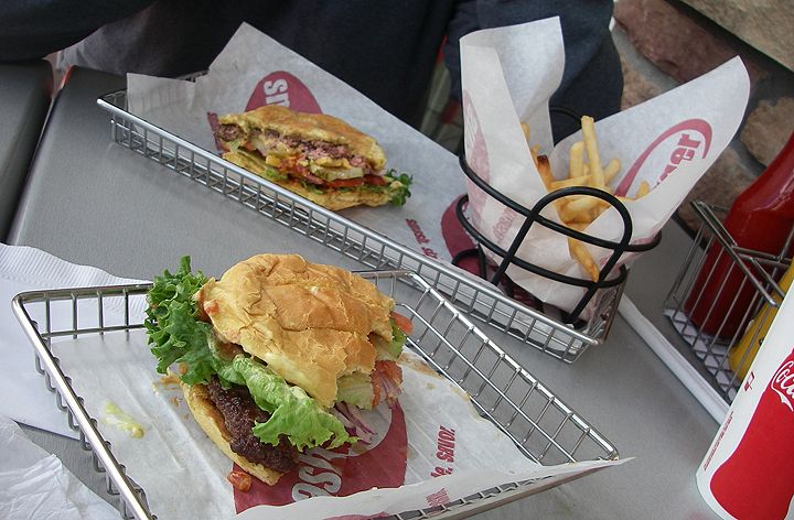
Lunch at Smash Burger in Silverthorne
From 40 we turned off on 125 heading North. I haven’t been on 9, 40 and 125 since my ride out to Colorado in 2004. 125 is a great motorcycle road because it’s so remote with very little traffic and very nice flowing curves, nothing really tight though, not even through Willow Creek Pass. But I remember this road having much better pavement when I was on it in 2004, today there were a few sections of very bumpy pavement but there were also some orange construction signs present so maybe they are fixing the road. We rode at least half of 125 in the rain and when we got to Walden to gas up it wasn‘t raining there but there were more dark clouds in the direction of Fort Collins.

Highway 40 west of Hot Sulphur Springs
125 before the rain
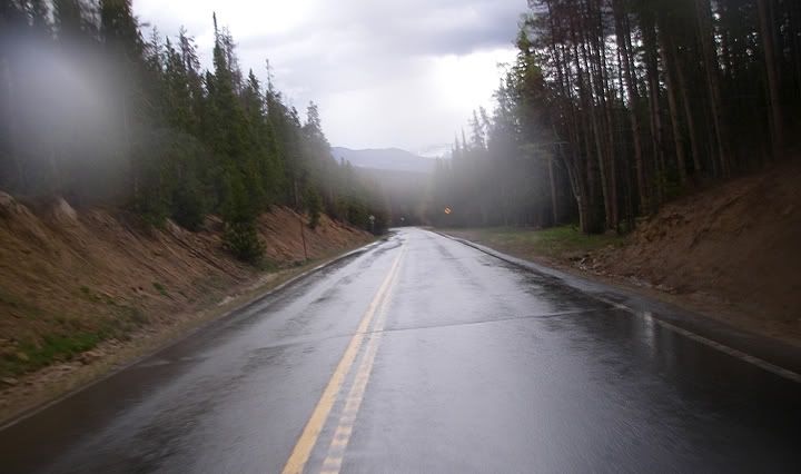
125 in the rain
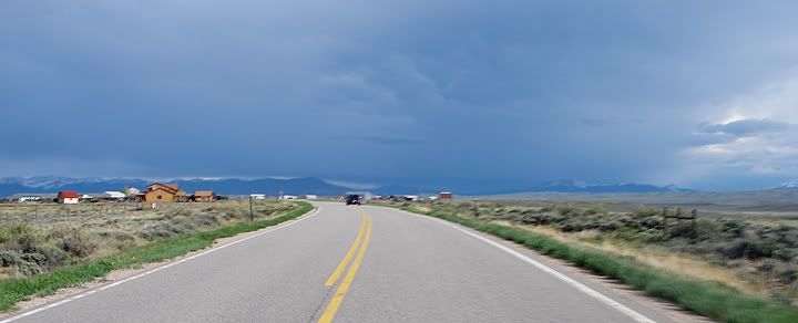
Approaching Walden, more dark clouds to the east
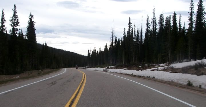
On 14 near Cameron Pass
Some snow left over near Cameron Pass
East of Cameron Pass
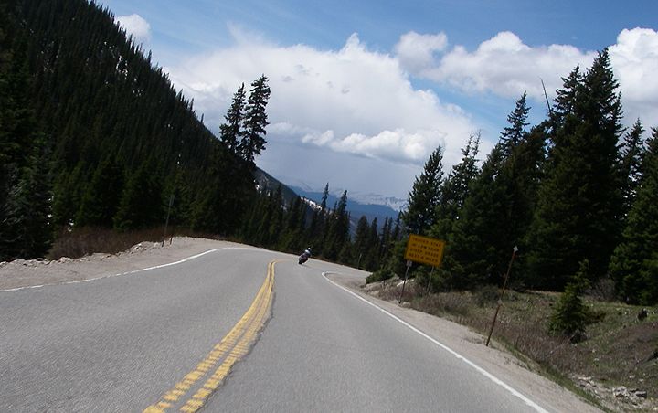
When we stopped for gas today, we were not stopping for a very long time, so we took a longer break here in Walden and by the time we got going again, the clouds in the distance have moved and we didn’t run in to any more rain on 14. We stopped for a picture just west of Cameron Pass and didn’t stop until we were in Fort Collins. 14 is such a great road and I really love riding it from west to east the best, but on a Sunday afternoon we ended up following an endless caravan of cars all the way to Fort Collins. Definitely not as fun as having the whole road to yourself.

I love this section of 14
Approaching the canyon on 14
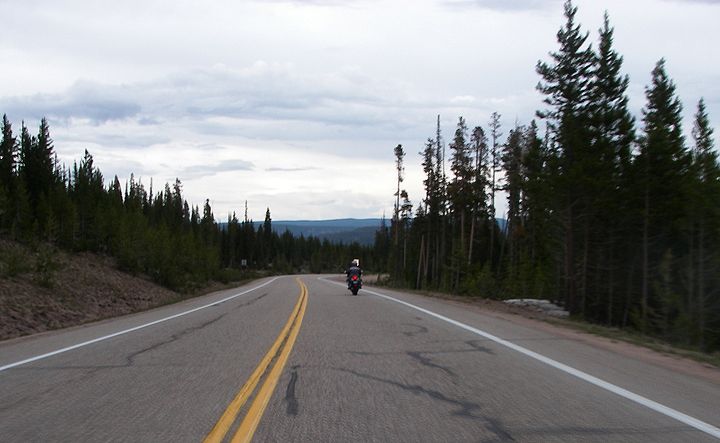
Dalton has the road all to himself
Closer to Fort Collins there was a bit of traffic on 14
Once we got to Fort Collins the ride was over for me and my total mileage for the day was 380 miles. Dalton still had a ways to ride before he got home. His mileage for the day ended up being about 508 miles and he ran in to a wicked storm and with very strong winds east of Denver on the way back.
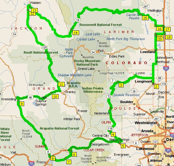
My 380 mile route: 66 to 7 to 72 to 119 to 6 to I-70 to 6 to 9 to 40 to 125 to 14