Thursday, July 31, 2008

Denver to Colorado Springs and 6 mt. passes


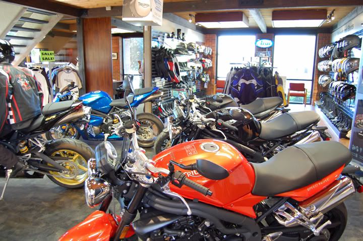
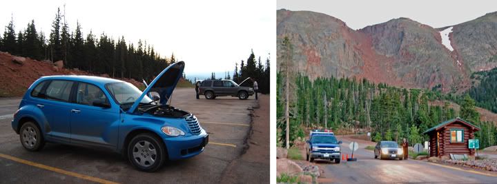
Yesterday afternoon Mike received a phone call from Foothills BMW Triumph that his bike was done. Wow, that was quick! The plan was to get there to pick it up as the dealer opened up at 9AM.


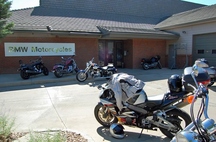
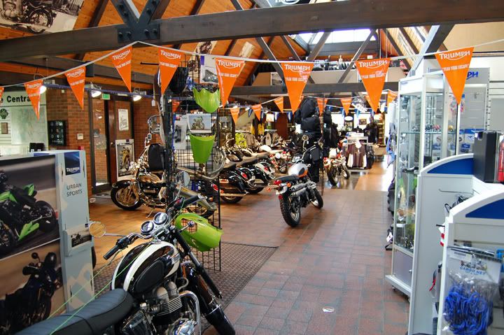
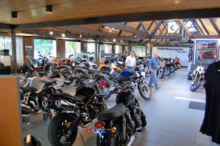
At Foothills BWM Triumph picking up Mike's Tiger

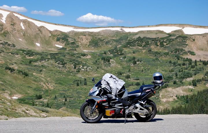
We left Colorado Springs two up on my 954RR and at 8:40AM we were in Denver. We even had some time left to grab a quick breakfast. The traffic heading in to Denver was heavy on I-25 but at least it was moving most of the way. As soon as we reached the Denver metro area the traffic was stop and go. We were lucky that our exit was coming up quick and we didn’t have to go further north on I-25.

As far as dealerships go, this must have been the best experience ever. Not only did they take the Tiger in right away and fix it, but it was warranty work on an out of state bike. We were so pleased with our experience there that we even stopped to tell the owner about it. The forks on the Tiger were fixed, but they had to order a radiator cap for the bike, the one of the Tiger was indeed faulty. It would take about two weeks for the new radiator cap to arrive, we will have to swing by the dealership to pick it up when it comes in.

Mike brought his GIVI top case on my bike, which he transferred to his bike for the ride back to Colorado Springs. He needed to get back to the computer and get some work done. I needed to explore some of the roads around here.


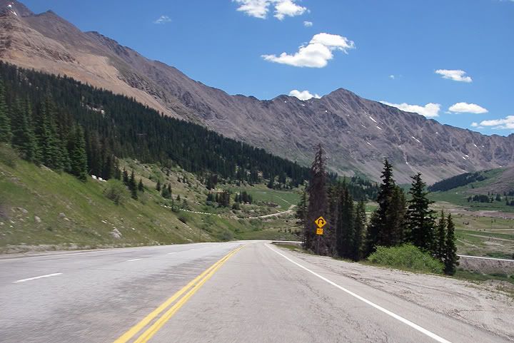
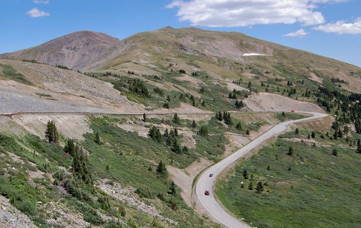
Heading up to Loveland Pass on highway 6


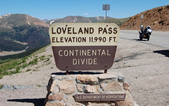
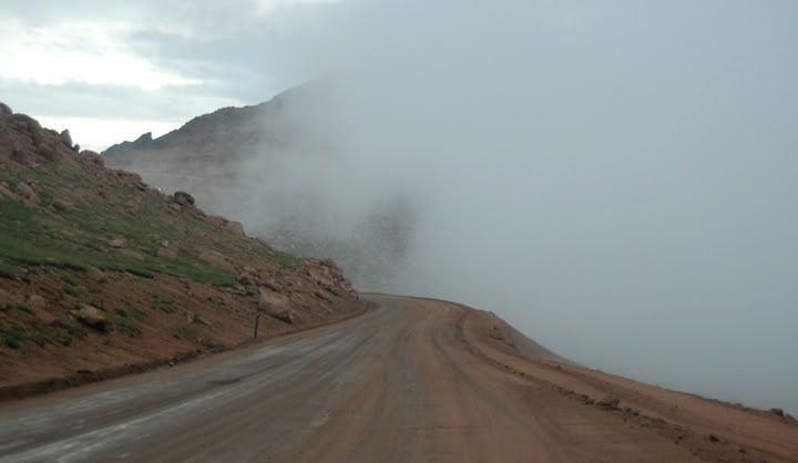
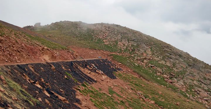
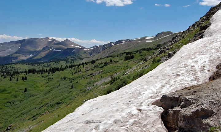
Loveland Pass at 11, 990 feet in elevation


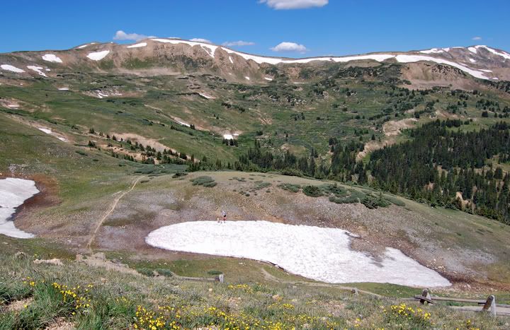
See the people in the snow down below?


Loveland Pass scenery


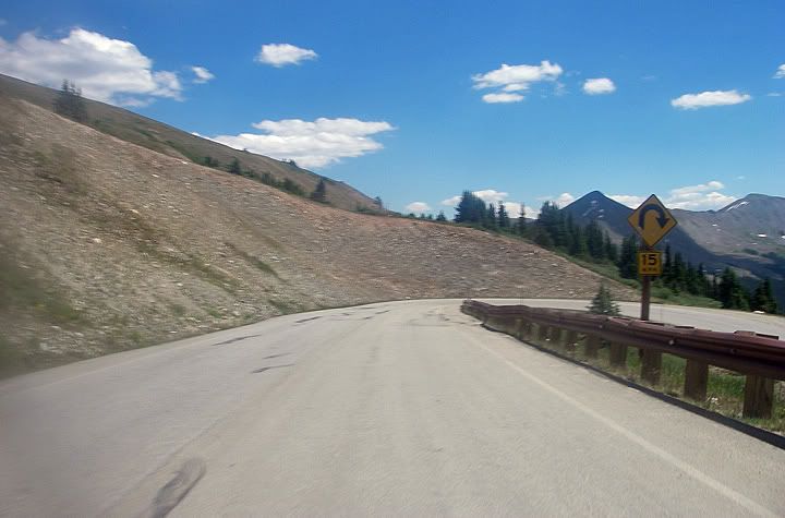
Heading west on 6 and down the mountain


Highway 6 and Loveland Pass

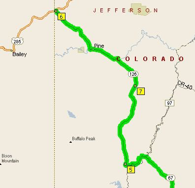
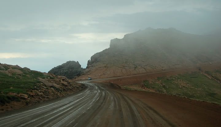
I took 6 west and then headed West on I-70. I wanted to get away from Denver quick and then be able to enjoy some of the back roads. My first twisty road was highway 6 and Loveland Pass. I remembered this road from my 2005 trip, unfortunately we weren’t able to ride it then, so I made sure to ride it now.


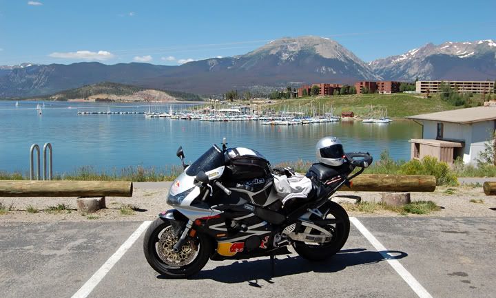
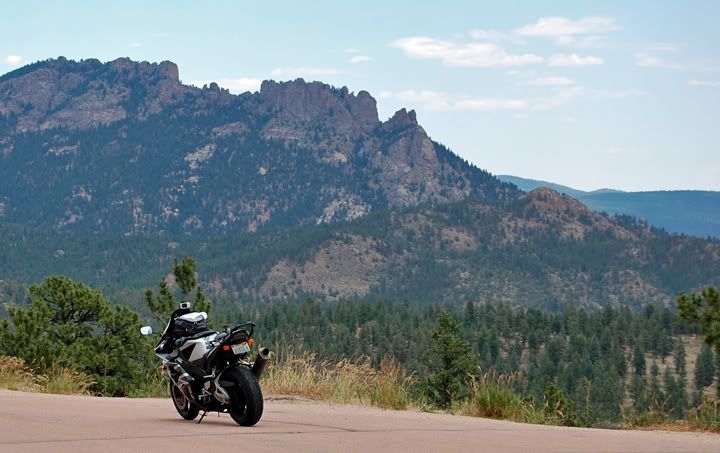
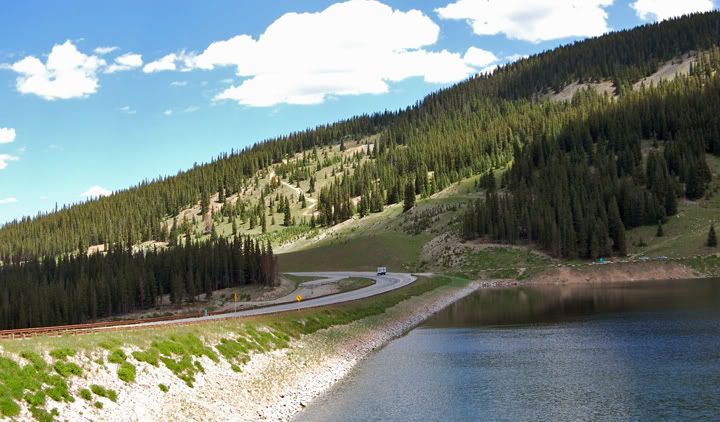
A stop near Dillon, CO

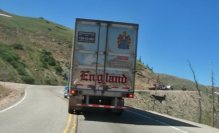
The road was great, but the traffic was horrible. I got stuck behind some slow semis and I had to follow them all the way to Loveland Pass. At Loveland Pass I stopped for some pictures and I wasn’t the only one, there were at last 40-50 other people here doing just the same thing.
Continuing on 6 heading west traffic was still a bit heavy with trucks, so I pulled over and let a bunch pass me so I could enjoy the curves. Near Dillon I got back on I-70 and continued west.
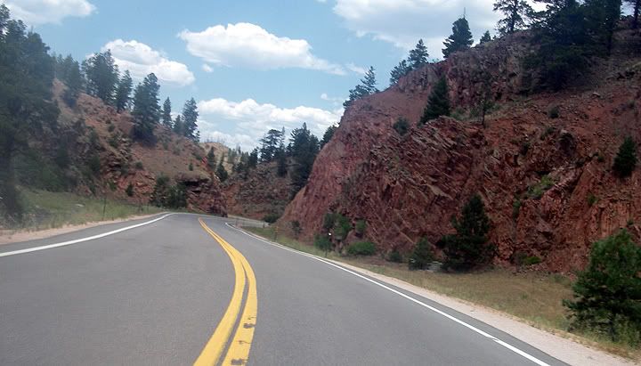


Highway 91


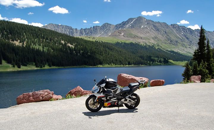
A stop near highway 91


Highway 91

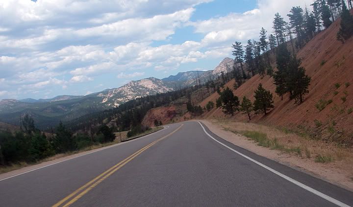
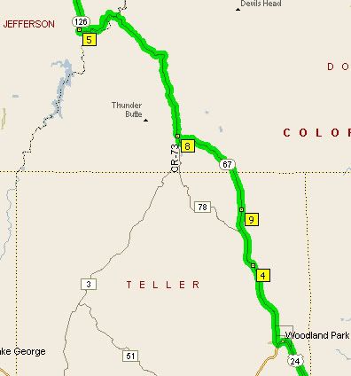
I took the exit for 91 south which was also designated as scenic highway. In 2005 when planning the route I remember choosing 24 over 91 even though both end up in Leadville. This time I’d get to ride 91 and see if I missed anything. By the time I made it to Leadville, which by the way is a cool little town to explore, I realized why I took 24 last time. It was obviously the better road, and I’m sure when I did my research I read that. 91 just wasn’t that scenic and the road was very wide with many miles of passing lanes and not that many twisties, it was the faster route if you wanted to make it to Leadville quicker.


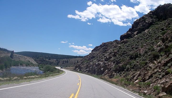
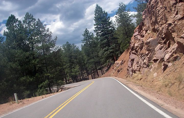
Highway 24 North of Buena Vista, CO

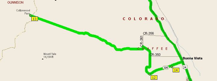
Further down on 24 I arrived in Buena Vista, got gas and as I passed the road sign that stated Cottonwood Pass was open, I remembered that this road was also one of the original roads that I wanted to ride but did in 2005.

I pulled over to think about my situation. It was around 2PM already and I didn’t even have lunch yet. I wanted to be back in Colorado Springs by 5PM so I could either skip this road and stop and grab lunch or skip lunch and ride the road. I did have a granola bar with me and some water so it’s not like I would starve to death and I really wanted to see Cottonwood Pass. After a few minutes of deliberating I turned around and went for it. 306 was a straight little road as it headed west out of Buena Vista but then all the sudden the curves started and continued all the way to the top.


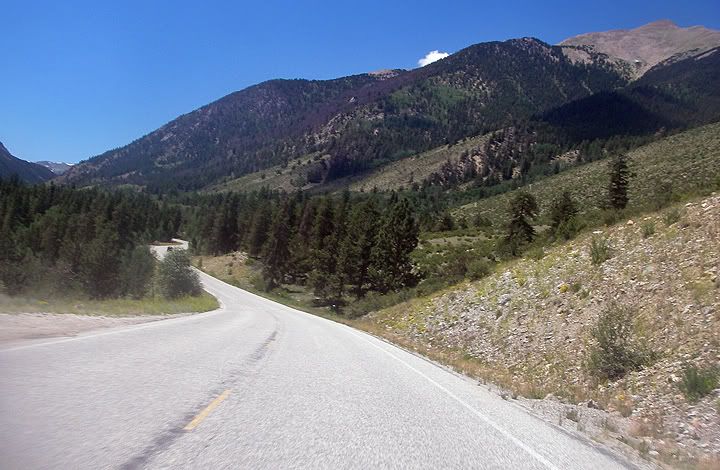
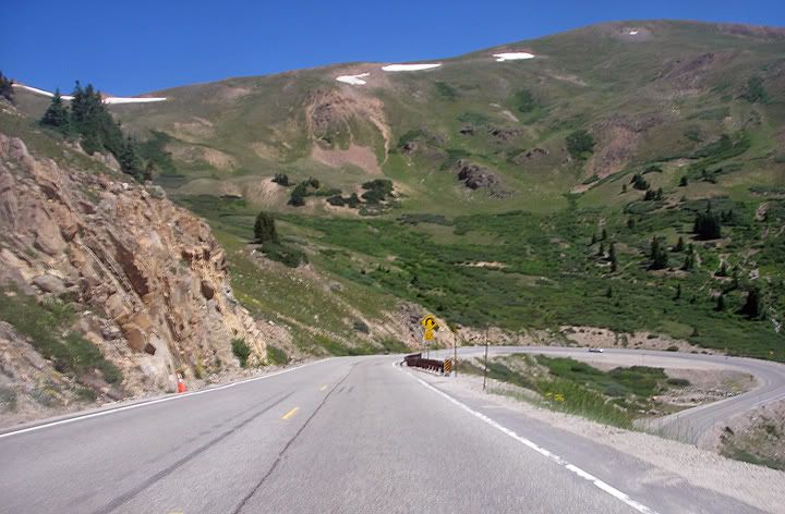
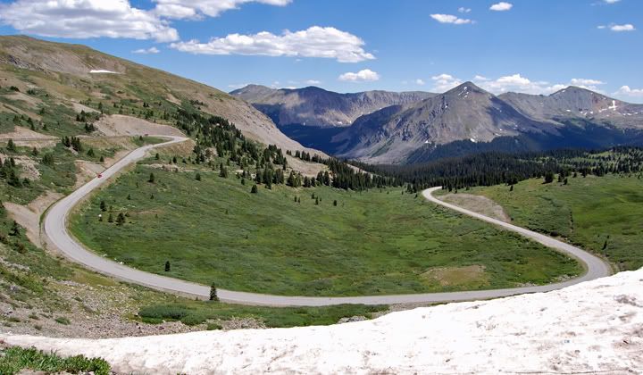
Heading up to Cottonwood Pass on 306


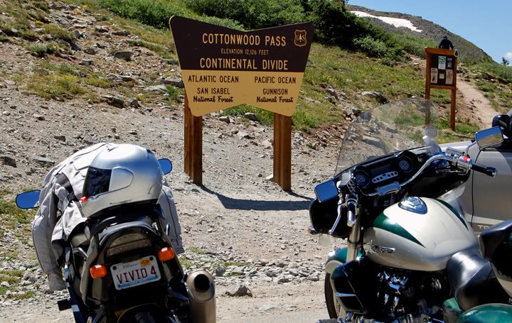
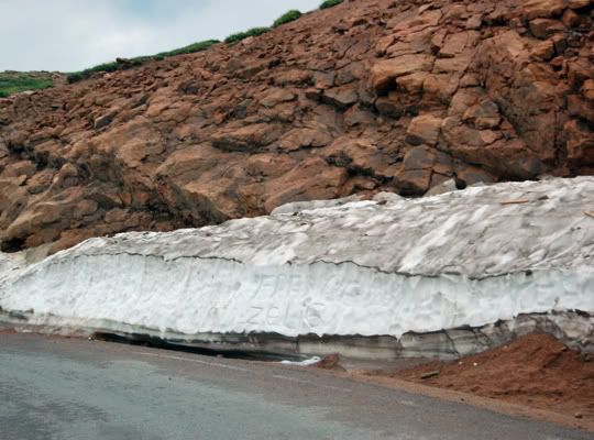
Cottonwood Pass at 12, 126 feet in elevation


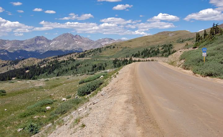
The other side of Cottonwood pass is 209 and it's not paved


Looking down at the twisties I just rode


306 to Cottonwood Pass

I was again stuck behind some slow moving vehicles. And this was the second time today where the slow vehicle displayed Kansas license places. This slow vehicle was an RV, going 15MPH under the posted speed limit. There were a few pullouts on this road but the driver wasn’t pulling over, they were taking their sweet time and letting 4 vehicles behind them suffer every inch of the way. Usually when presented with this kind of situation I’d just pull over and let everyone get head of me so I could go and enjoy the road but at this point I’d have to wait 30+ minutes since the RV was going so very slow. I had no choice but to pass all 3 vehicles which per usual, were traveling right behind one another making passing more difficult.

As I started to pass the first of the vehicles I got launched in to air. Then I realized this road had some speed bumps or just big bumps, not cool. After a few minutes of finding some appropriate places to pass, I was ahead of the slow vehicles and finally able to enjoy the road. The road got a bit twisty near the top of the mountain as the pavement contorted in to narrow and steep hair pins to make it to the top of Cottonwood Pass.

At the top of the Cottonwood Pass there was a large parking area which was full of cars. This was the end of the road for me, as the other side of the pass was not paved, so I’d have to come back the way I came.


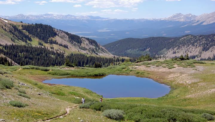
This was my view as I ate my granola bar at Cottonwood Pass


Snow at Cottonwood Pass

The views from the top were beautiful. I found a rock to sit on overlooking the area and had my granola bar. After a few minutes of relaxing it was time to head back. As I headed back down the road I ran in to a couple on dual sports with Idaho license plates. She was on a CR230 and he on a CR650. We chatted for a while about motorcycle stuff and riding. Since I’ve been curious about living in Idaho, Boise to be exact, as a place to live, the conversation switched to living in Boise. After a few more minutes I found out that he was from Boise and she was from Greeley, CO which is right next to Fort Collins. I was curious about the comparison between Boise and Greeley… which was the better place to live and which place had better weather and milder winters. The answer was Boise hands down according to these two. As much as I wanted to get out there on this trip, and I’ve even gone as far as mapping it out, it was just too far since the only time we could ride far was on the weekends.


Heading back down from Cottonwood Pass

I was surprised how late it was already. I got on it and headed towards Colorado Springs not wanting to waste any more time knowing that I‘d be delayed by traffic once I reached the city limits.


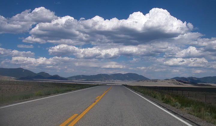
A very flat and straight section of 24 east of Buena Vista

I made it back just before 6PM, without even stopping once from Buena Vista. I was very thirsty and hot when I got back, knowing that again I didn‘t drink enough water.

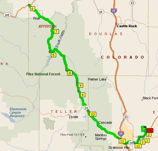
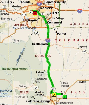
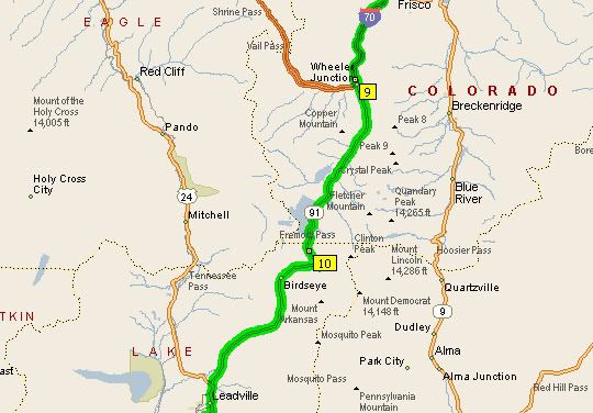
Today’s ride was 360 miles long and went across 6 mountain passes, not bad for a day ride. The passes crossed were Loveland Pass on RT 6 at 11,990 feet. Fremont Pass on RT 91 at 11,318 feet. Cottonwood Pass on RT 306 at 12126 ft. And on RT 24 I went over Wilkerson pass at 9165 feet, Ute pass at 9165 feet and Trout Creek Pass at 9346 feet.


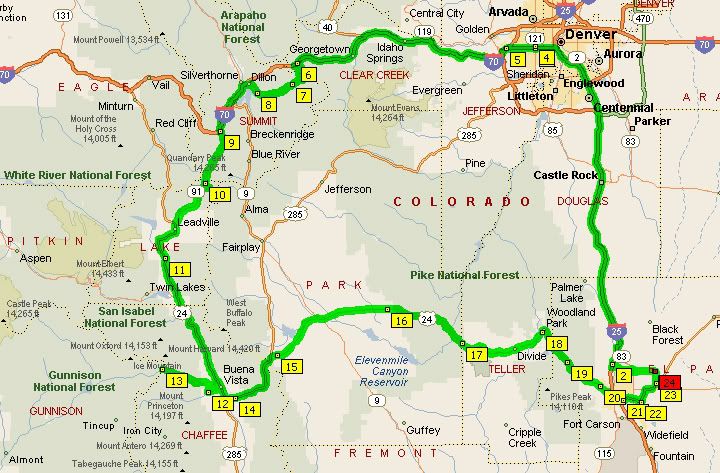
Today's 360 mile route

Wednesday, July 30, 2008

A ride through Pike National Forest


I did a little ride today based on some peoples suggestions of good roads to ride in the area. My route was 162 miles long. Since we were staying on the northeast side of Colorado Springs, I had to cross Colorado Springs to make it to the mountains. That was not very enjoyable. The roads through town were congested and the temperatures in town hovered just below triple digits. Not wanting to get lost I stayed on major roads, so that didn’t help. I’m sure there were better roads to take in to the mountains that weren’t as busy.

Just as if going to Pikes Peak, I took 24 heading west. In Woodland Park I headed north on 67. 67 had a few nice sections further north, the first section was kind of flat and straight that ran though the forest. Once the twists and turns started the forests kind of disappeared. It had looked like most of the trees in the area had burned down, only black charred stumps were left. This continued for miles.


Burned trees along 67


67

The road and scenery seemed to get better as I headed further north and it got even better once I turned on to 126. Unlike 67 that had some nice sections, all of 126 was great. The road changed from a narrow and twisty road that climbed the side of mountain with curves posted at 20MPH, to a wider road with passing lanes. Then back down in to a valley surrounded by farms and green fields then back up into elevation again.


20MPH curves along 126


Mountains in the distance along 126


Really nice pavement along 126


Closer to some peaks, I think the elevation here was around 8,000 ft


Platte River running along 126

I continued north just a few miles shy of 285 junction, turned around and headed back the same way. That is the neat thing about mountain roads, the scenery is always different heading the other direction, so riding the same road there and back is never boring.


My 162 mile route


RT 67


RT 126

Tuesday, July 29, 2008

Two up on the 954RR?...oh my


When Mike rented the PT Cruiser from Enterprise, he received a special weekend rate. To keep the car past today would cost twice as much per day and Mike didn’t really need the car.

So the car had to be returned and the only way we could do that was to ride back two up on my 954RR.

Now... I don’t even like to ride two up on the Tiger, which is a pretty comfortable bike for the passenger. I’ve been on the back a couple of times for short periods of time and I would imagine a ride from Denver to Colorado Springs two up wouldn’t be so bad on a Tiger. Even my ST3 wouldn’t be too bad two up, but the 954RR? Lets just say I wasn’t looking forward to it.

Mike went ahead to Enterprise. The car was filthy from the Pikes Peaks drive and needed some washing first. After returning the rental car he would then walk two blocks to Foothills BMW Triumph to ask about his bike. I would pick him up there.

Even though it was already later in the morning, the traffic was still kind of heavy in Colorado Springs and on I-25 heading North, but not that bad entering Denver. I arrived in Lakewood and found Foothills BMW Triumph.


Foothills BMW Triumph in Lakewood, CO


Of course I had to check out the dealer and the bikes. Foothills is a very, very nice dealership with BMW’s on one side, Triumphs on the other. The dealer was closed yesterday, but today Mike’s bike was already being looked at. They were hoping to have it done by the end of this week.

After checking out the dealership we got on the 954RR and rode back to Colorado Springs two up. The ride was 75 miles and by the time we got off the interstate in Monument to have a quick lunch, I was in pain. Mostly my legs were falling asleep, but I was just getting sore everywhere from not being able to move around and I couldn’t wait for this ride to be over.


Today’s route 150 miles: 75 miles from Colorado Springs to Denver, one up, then 75 miles back from Denver to Colorado Springs two up

Monday, July 28, 2008

Pikes Peak, Colorado Springs


Since we were planning on returning the rental car tomorrow morning, we decided to take it up to Pikes Peak tonight. Most of the Pikes Peaks Highway is paved but 11 of the miles are not paved. Even though I’ve read a few websites that say the unpaved section is gravel, it’s not. It’s hard packed dirt that turns in to sticky slop when wet.


Pikes Peak Highway (left) and toll gate (right)


Yep, it's pretty twisty

During the summer days you have to pass the toll gate before 7PM and be off the peak by 9PM. Leaving Colorado Springs tonight around 6PM we were in a mad rush to reach the toll gate. The Pikes Peak website suggests that you have at least half a gas tank of gas before heading up to the peak, the PT Cruiser was almost on empty and there were no gas stations in Cascade, so we had to turn around and get gas in Manitou Springs, big mistake since it’s a tourist town and the traffic through town was moving very slowly. First gas station didn’t accept credit cards, second one did, so we filled up and headed back up 24 but as we followed the sign for 24 we realized that the road out of town was heading east and we wanted to go west.


So that's where Big Foot lives

At this point we really didn’t think we’d make it but miraculously we arrived at the Pikes Peak toll gate at 6:57PM. We both paid $10 each and headed up the mountain. The hand written sign that gets updated at the toll booth said that the temperature at the top was currently 38 degrees… brrrrrrrrrrr.


Starting the climb to the peak


Hair pin switch backs up the mountain


Eventhough the Pikes Peak Highway is only 19 miles long each way, the speed limit is low on this road since it is steep and curvy. The Pikes Peak website suggest that at least 2 hours are needed to make the trip, 3.5 hours are needed if one intends on stopping.


Views of the Pikes Peaks Highway from above


It actually did take us an hour to get up to Pikes Peak and we only pulled over once. We stopped for pictures at the top of Pikes Peak, it was very cold and windy so I went back to the car while Mike went and checked out the gift shop. Unfortunately we ended up skipping dinner in the rush to get to the toll booth on time and now I was developing a bad headache, partly due to elevation sickness because of the fast climb in elevation, and because I was very hungry.


Some snow near the road

Rain clouds were building over Pikes Peak as we headed up the mountain and the road was wet at the top, parts of the road were enveloped in thick fog, but on the way down the clouds moved away and we got to see a super nice sun set from the top of the mountain.


Entering the fog


No guard rails here


Colorado Springs in the distance

We were making good time until we reached brake checkpoint where a ranger checks the brake temperature of each vehicle passing through. There are signs posted on the road to drive in lower gear, but the decent in lower gear was taking much too long. The result was that our breaks were red hot. We actually had the hottest brakes of the day. So while other vehicles had to pull over and sit 10-20 minutes we had to sit for 40 minutes and even then our brakes were still too hot to leave and we had to sit a few more minutes. At this point I was really looking forward to getting off the mountain so I could eat something, my headache was not going away, but we did get to see a cool sun set while waiting for the brakes to cool down. I think we were the last vehicle to enter the toll gate and the last vehicle to get off the Pikes Peak Highway.


It was 38 degrees and windy at the top

As for the road. It’s definitely worth the $10 admission. The road is great and the views are amazing. I wouldn’t take my street bike up to Pikes Peak since the road gets muddy and slick when it rains, but I’d definitely bring a dual sport up there.


Heading back down


Waiting for our brakes to cool off (left) the brake checkpoint station (right)


The sun sets as we wait for our brakes to cool off