Sunday, November 29, 2009

Crosier Mountain - Drake, CO


It was great to get out on a hike two days ago. So great, that I decided to hike today as well. It’s funny how I decide on which hike I will do. Sometimes I look at topo maps, sometimes I surf the web, sometimes I just get out and drive around until I spot a trail worth investigating, this is what I did today.

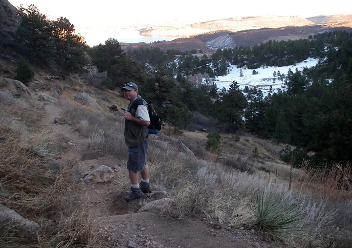
I headed toward Estes Park via Devil’s Gulch Road and I saw the Crosier Mountain Trail and decided to check it out. The distance from the trailhead to the summit was 3.75 miles, which would have made the total for the hike 7.5 miles. The Crosier Mountain Trail begins at 7,044 feet in elevation and steadily climbs to Crosier Mountain at 9,204 feet. As I started to hike the trail I already knew that there was a possibility of me not getting to the summit today. I started hiking a bit too late in the day and at the slow pace I was going, I would be getting back to the car in the dark.

I ended up turning around after 3 miles. Even though I didn't make it to the summit, it was still a great hike. Hopefully I will get up to the summit one of these days.


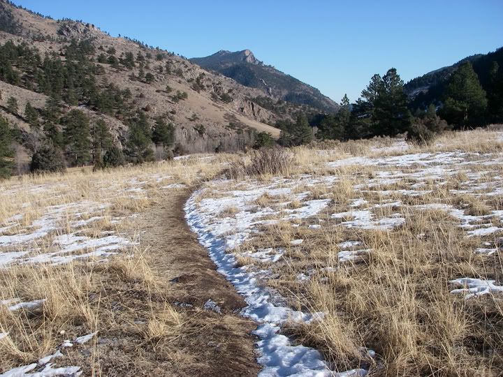
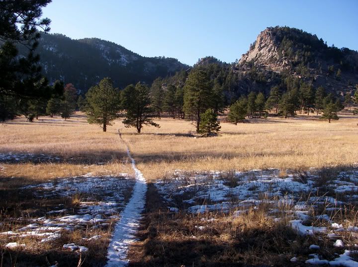
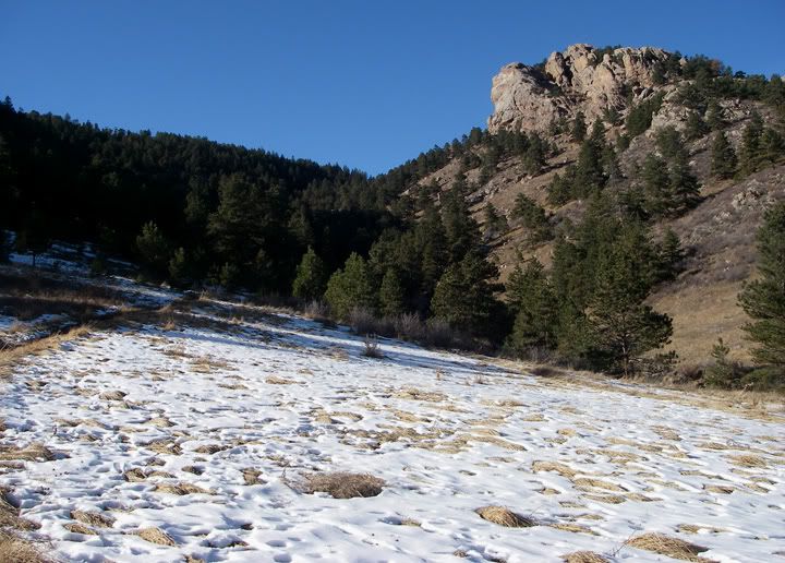
The Crosier Mountain trail starts in an open area


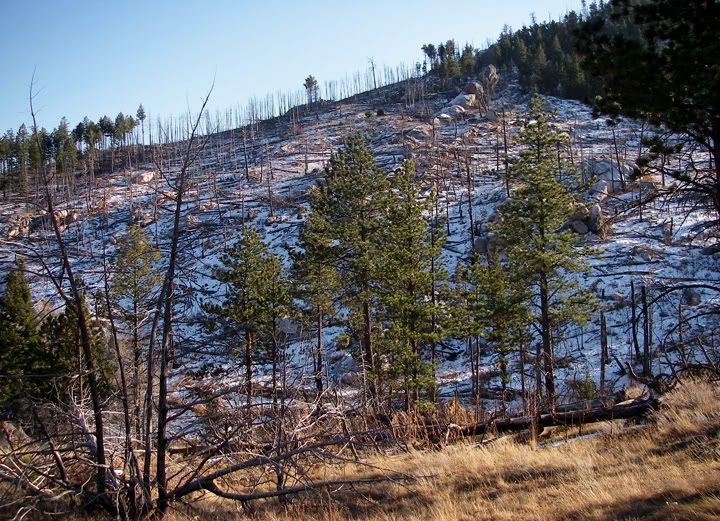
Looks like there was a fire here


I think that's Crosier Mountain up ahead


Neat rock formations


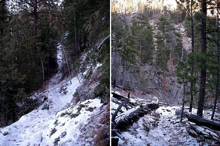
The trail gets steep

Friday, November 27, 2009

Lory State Park - Arthur's Rock


Yesterday a bunch of us “adventure riders” had a Thanksgiving dinner together. There was so much food that after dinner some of us had to walk some of it off. The 20 minute walk wasn’t nearly enough for the amount of food that we ate. So today CJ and I decided to do a nice hike.

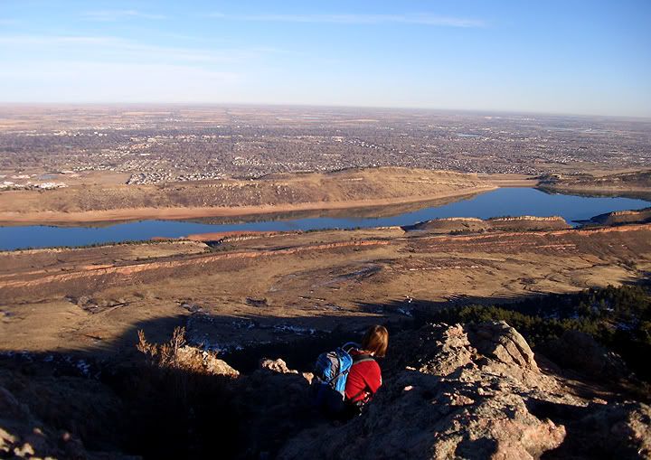
I have not been to Lory State Park in Fort Collins yet and since I had a state park pass, seemed like the place to go. The weather was great too, sunny and in the 60's.

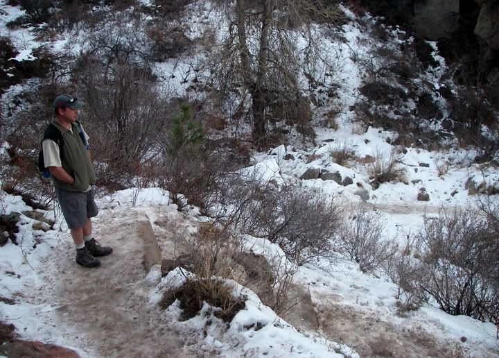
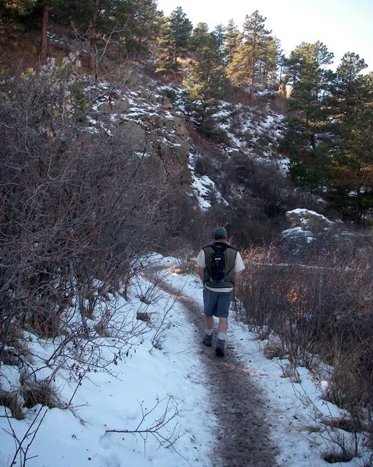
Snow and ice on the lower trail

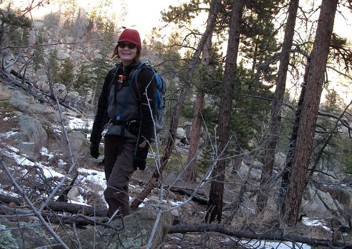
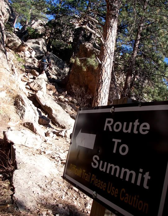
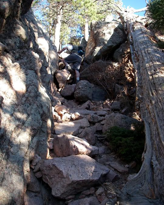
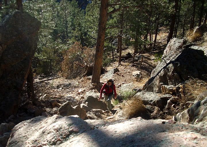
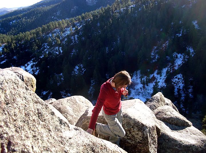
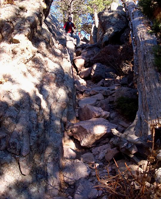
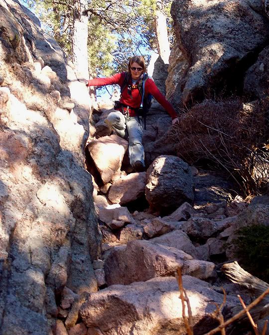
The last part of the trail, the final climb to the summit, is the most difficult out of the whole hike

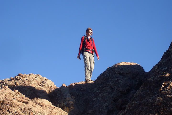
CJ scrambling some rocks to the summit

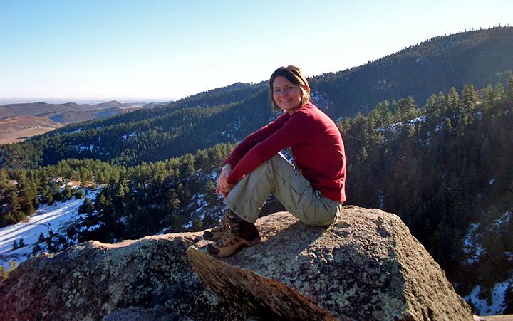
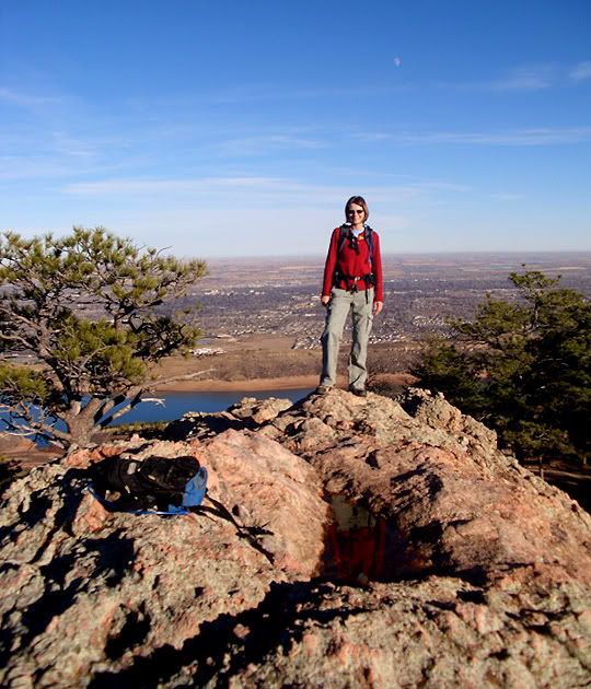
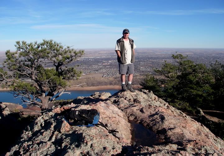
The summit of Arthur's Rock with Fort Collins behind me

Heading back down from the summit

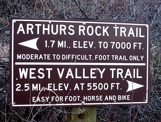
TH: Arthur's Rock
Difficulty: Easy/Moderate with some scrambling to the summit
Length: 1.7 miles one way
Elevation Gain: 1,100 feet


Saturday, November 14, 2009

Benson Sculpture Park, Loveland, CO


We had more snow. I decided to take a walk through Benson Sculpture Park a few blocks away from where I live. It’s my favorite place in Loveland.


Sunday, November 08, 2009

Carter Lake, Nederland & Left Hand Canyon

I haven’t been on a motorcycle in a month. And I haven’t been on the 954RR even longer than that. The plan for today was to ride a road I haven't been on yet, Left Hand Canyon Road, a great motorcycle road west of Boulder.


CJ took this one on 18E at the Pinewood Reservoir

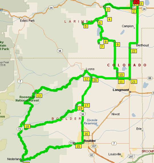
The weather was nice at 9AM when CJ and I met for the ride. From my place in Loveland we headed southwest toward Carter Lake. There was a road out here too that I haven’t been on yet called Pole Hill Rd, or 18E. This road climbs a small mountain, the road is very twisty but short. The pavement ends at the Pinewood Reservoir, so we turned around there and took 18E back east and then turned south on 31 which goes past Carter Lake. We turned on a few side roads around Carter Lake looking for good photo opportunities before continuing toward Longmont via some pretty straight and boring country roads.


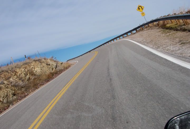
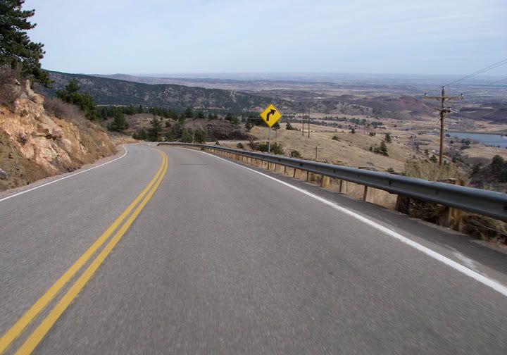
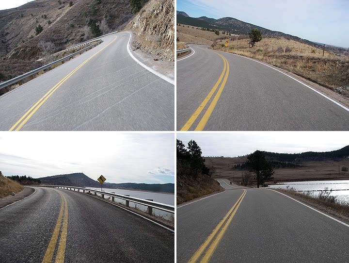
18E aka Pole Hill Rd - very nice


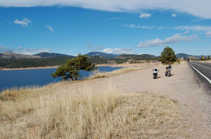
Above pictures are from 18E and 31 near Carter Lake


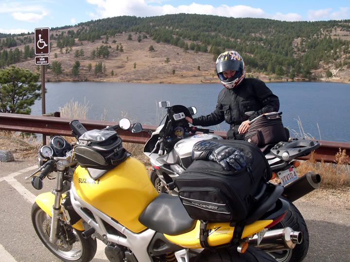
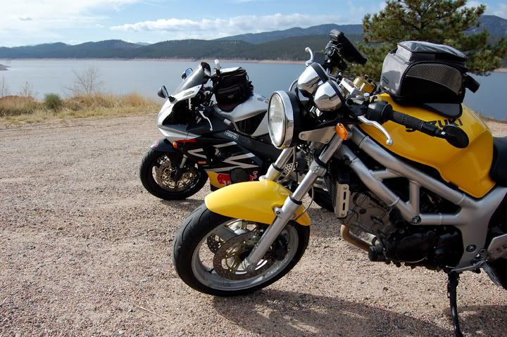
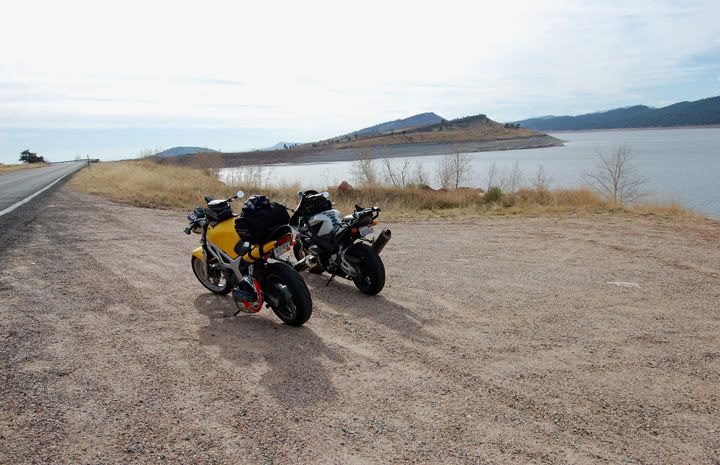
954RR and SV taking a break at Carter Lake


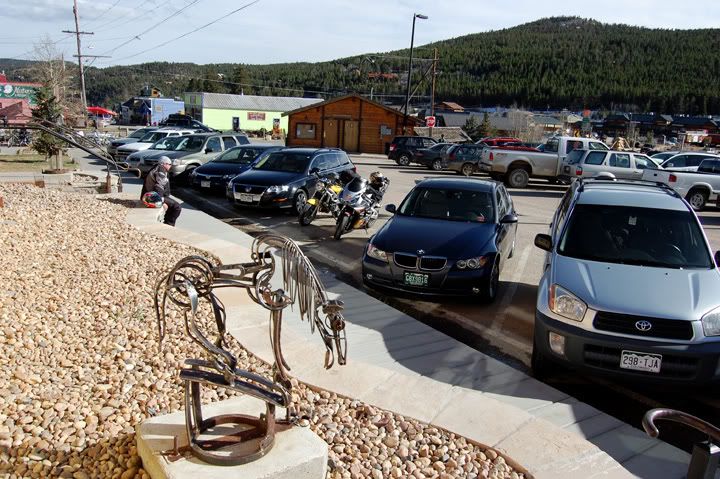
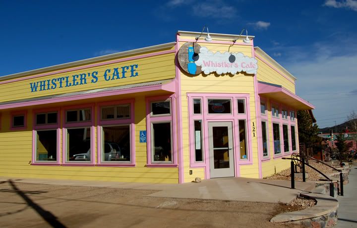
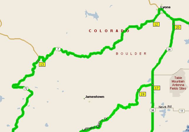
Once we got to highway 66 we rode west through Lyons and turned southwest on highway 7, this road has some amazing sweepers. From 7 we turned south on to highway 72, which is part of the Peak-to-Peak scenic highway system. By the time we got to Nederland it was time for lunch. We decided to eat at the Whistler’s Café on highway 119.


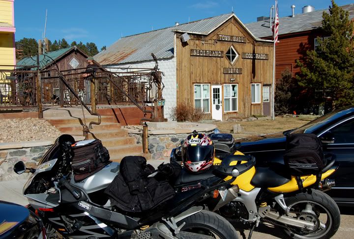
Parked in front of Whistler’s Café in Nederland


Whistler’s Café on highway 119 in Nederland


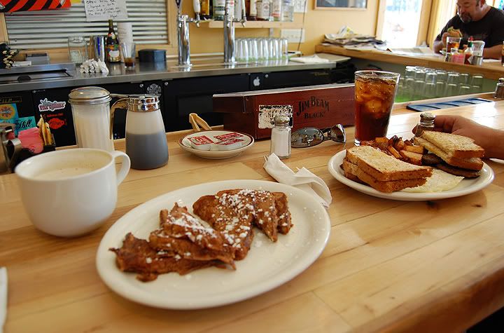
Having breakfast for lunch

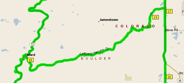
After lunch we took 119 east in to Boulder, then rode north on highway 36 and took a left on to Left Hand Canyon. Left Hand Canyon Road was a fantastic road with many awesome curves and great pavement. We enjoyed this road so much, that when we got to Ward, we turned around and rode Left Hand Canyon back down. Then we headed back north through Longmont again, but this time we took 287 to Loveland.


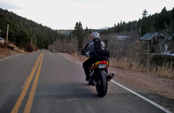
CJ on Left Hand canyon Road near Ward


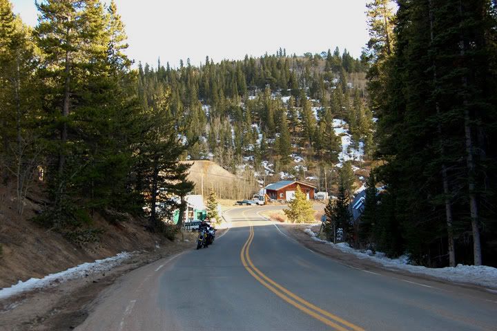
Left Hand Canyon Road


Some snow on the shoulder on Left Hand Canyon Road


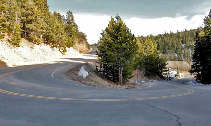
Left Hand Canyon Road

Today was a great day for a ride, although it was pretty chilly at higher elevations. And now that I’ve been on Left Hand Canyon, it has been added to my top 10 front range motorcycle roads.
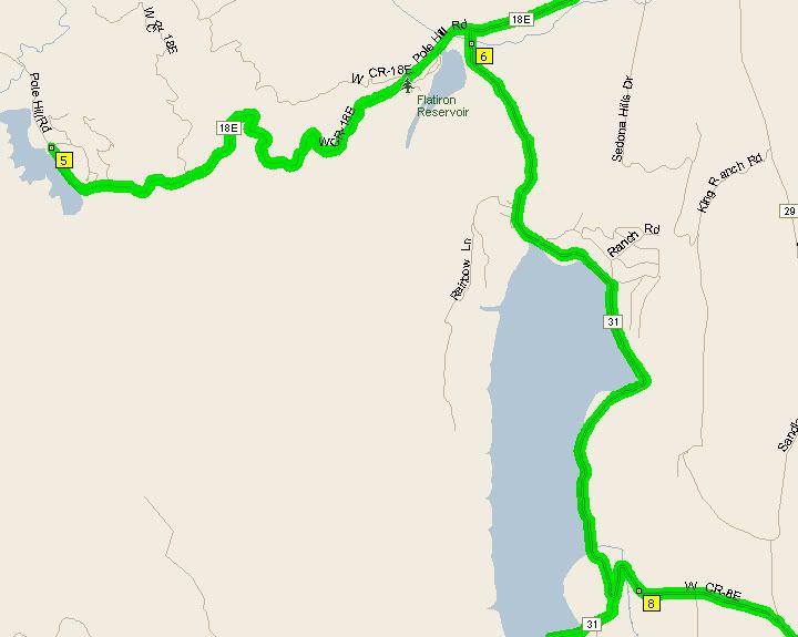

18E and 31 near Carter Lake in Loveland


From Lyons to Nederland via highway 7 and 72


Nederland to Boulder via highway 119


Left Hand Canyon Road


My entire route was 171 miles