
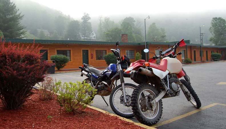
Early morning fog at the motel
We got on the road early and located the first road of interest, Abner Branch Road. It was a very narrow, the width of one car, badly paved road, very much like the Little Sheppard Trail but less twisty.

Abner Branch Road
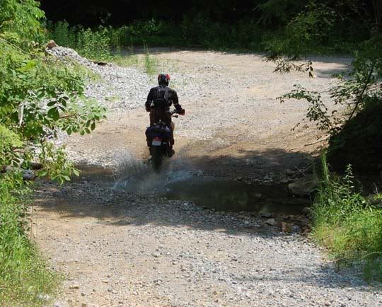
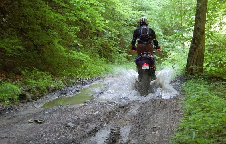
We climbed straight up the mountain and shortly after the pavement ended and gravel begun. The road had some ruts running through the middle, at times the gravel was huge and there were the occasional rocks, mud and many turns. After a while the gravel turned to dirt and a little later just two tire tracks lead us through the trees, the branches hitting me and my bike and then the tracks disappeared completely.
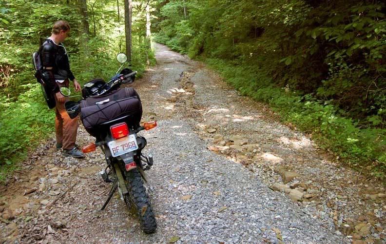
Mike showing me how to navigate the Abner Branch Road
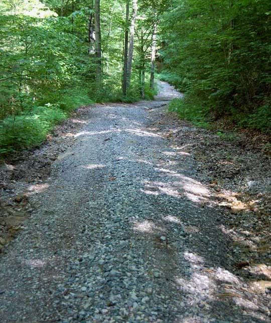
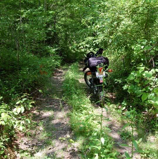
Trail disappears in to the woods
On the map, this road continued straight though, but now zoomed way in on the GPS it was apparent that this road did not connect to the road on the other side. Looking at the GPS, we could see the trail ended here and started up again about a mile away. Mike went ahead to see if the terrain was rideable so we didn’t have to go back or find another route, but unfortunately he came back saying that it was all big rocks and mud up ahead and we wouldn’t be able to cross to the other trail through here.
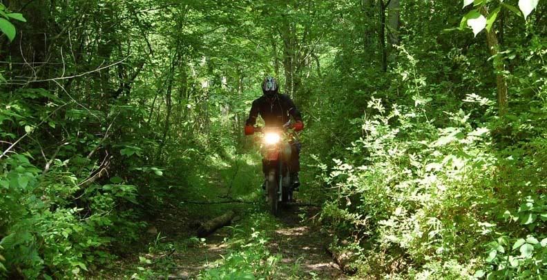
Mike coming back with news that we have to turn back around
We went back a little where there was a fork in the road, hoping that we could go that way, but after going on that road for a bit we encountered some big hills, I stopped at one of them and had Mike go ahead to investigate the rest. He came back a few minutes later reporting that the hills continued and got a lot steeper, it was even difficult for him to ride down the steep dirt hills, so I wouldn’t be able to for sure. I guess that was it, we had to turn around again and go back the way we came.
Heading back
We’ve already lost too much time so we wouldn’t be able to get to the other dirt road we wanted to ride north of here. At this point, all we had time for is to get on some paved roads and go directly to the truck and trailer. We needed to leave Kentucky by 4PM to get home by midnight, I had to be at work tomorrow morning.
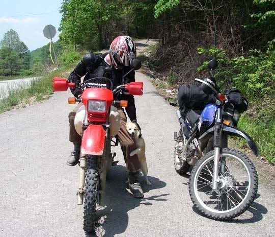
Friendly doggie at the start of Abner Branch Road
We chose a simple route which also allowed us to check out the Cumberland Falls. We took 221 to 92, nice winding roads with very little traffic until we got close toWilliamsburg, KY. All the sudden there was a lot of traffic and construction everywhere. We grabbed some lunch here at the Hardee’s. Today was another hot day in the upper 80’s but it didn’t feel as humid as the other days, I was happy that we got such great weather all these days. 25W north to 90 West and we arrived at the Cumberland Falls State Resort Park, no admission fee; we parked the bikes and walked over to the two viewing areas for the falls.
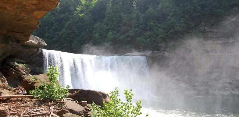
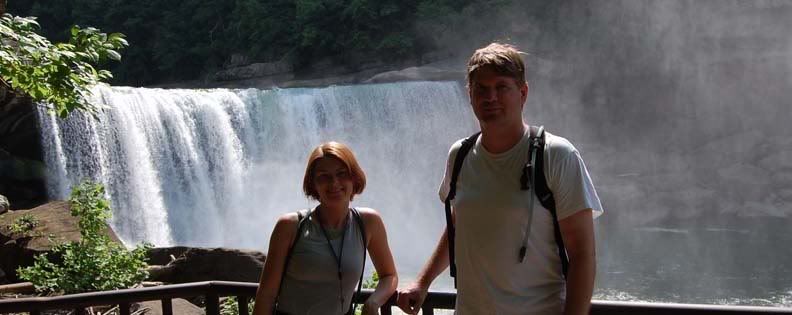
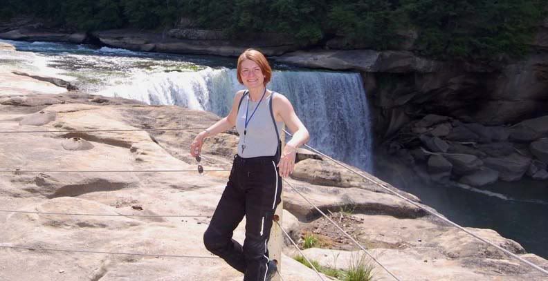
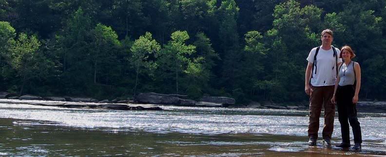
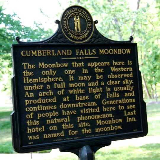
Cumberland Falls
The falls were nice, the park was nice as well and offered a lot of hiking trails that looked like they might have been worth doing, but we had no time. 45 minutes later, we were back on the bikes traveling north on 25W again.
The little XT225 isn’t a good interstate bike but there was so much traffic on 25W and at times it was moving so very slow, that by the time we got to Corbin, KY we decided to just take the interstate all the way to the truck and trailer. Traffic was moving fine on I-75 heading north until we got to London, KY where we encountered some contraction and lane closures. All the sudden the interstate was a huge parking lot as cars were merging from three lanes to two. We decided to ride the third lane and merge at the end, we couldn’t sit and wait here, it was too hot and we just didn’t have the time. Once we arrived at the two lanes, those were moving very slow, sometimes not moving at all, so we decided to take the shoulder until the traffic was moving again. We got though the construction and arrived at the truck just after 5:00PM, unpacked and loaded up the bikes, we were on the interstate heading home by 6PM. One dinner stop and many more hours later, we rolled in to the driveway at 2AM.
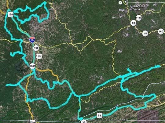
The whole route from Mike's GPS tracks viewed through Google Earth

No comments:
Post a Comment