Friday, April 25, 2008
Day 4: Big Burger Run OH & IN
We didn’t have any plans today, just to be home at the end of the day. We picked some random roads heading west.
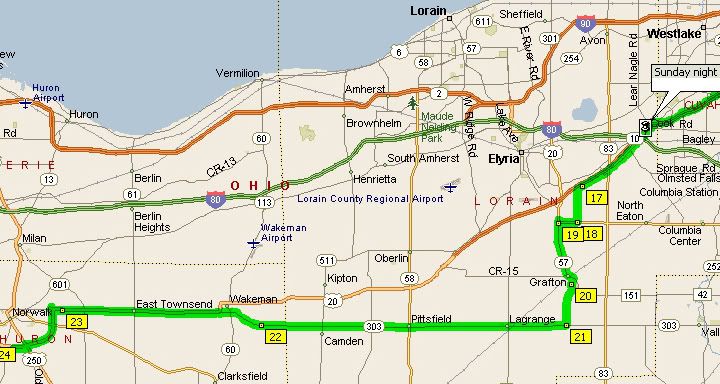
303 ended up being a very nice straight road through the country with no traffic
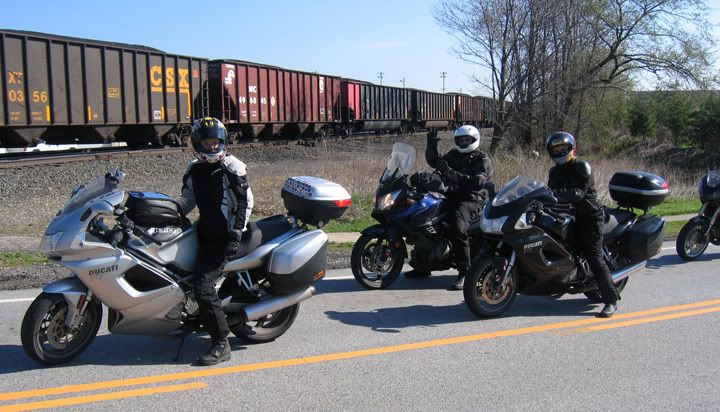
Waiting for a train to pass
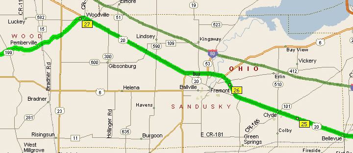
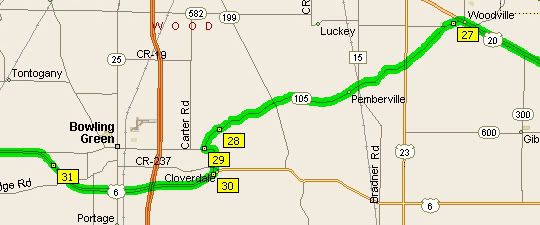
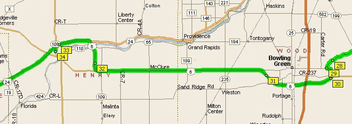
20 was a 4 lane highway, boring but fast, we took an exit at 105, a nice river road with a lot of curves
105 was the best road of the day
6 and 24 had lots of traffic, I'm sure there were better roads to take
24 east of Fort Wayne, IN was a two lane road, packed with traffic and many semis; 24 west of Fort Wayne, IN was a 4 lane highway with no traffic, I'd ride that section of it again
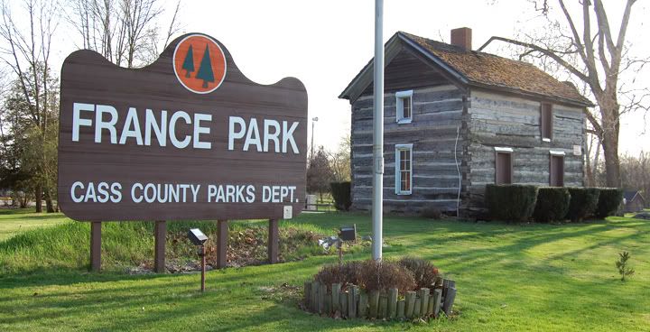
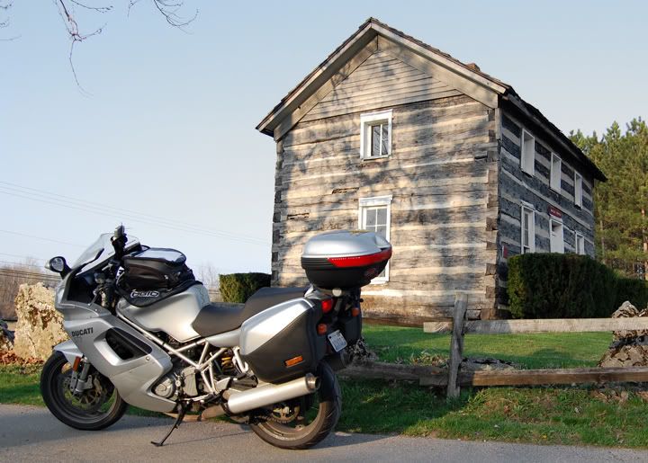
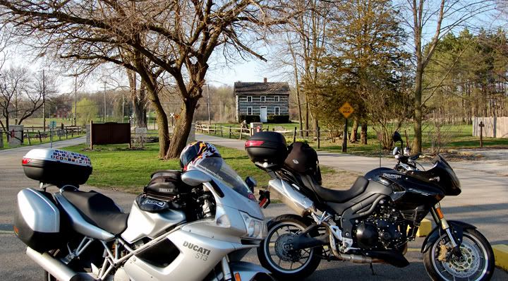
My friends Rick and Alex took off for home after lunch. Mike and I were not in any hurry and saw this park on 24 near Logansport, IN. We decided to stop in.
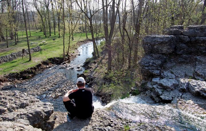
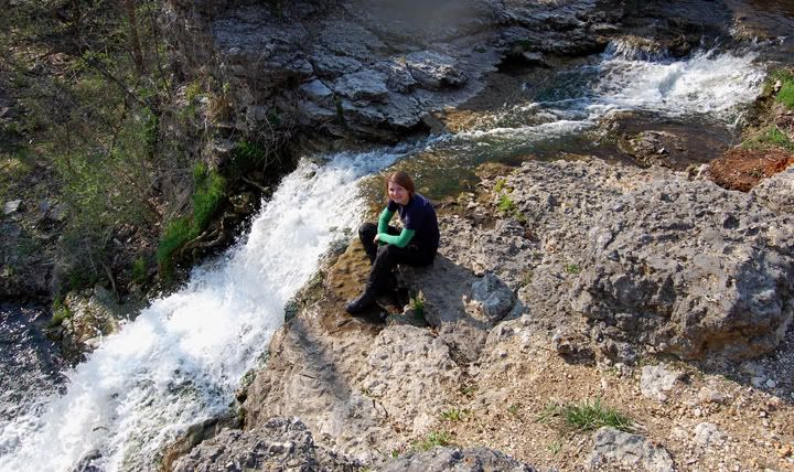
Great view from the waterfall at France Park
This place was a nice break from riding. Once we got to I-65 we jumped on the interstate, it was already dark. we rode 462 miles today.
Thursday, April 24, 2008
Day 3: Big Burger Run PA & OH
Today was the day. This is what we rode here for, the lunch at Denny’s Beer Barrel and Pub. But before lunch we wanted to do a short ride. I rode some of these roads two years ago, on the first Big Burger Run. Last year I was too tired to ride the loop before riding the 550 miles home. So this year I was really looking forward to the morning ride. The route I planned was a simple and only about 95 miles long. One of the roads I’ve been on before the other road was recommended and supposedly was very scenic.
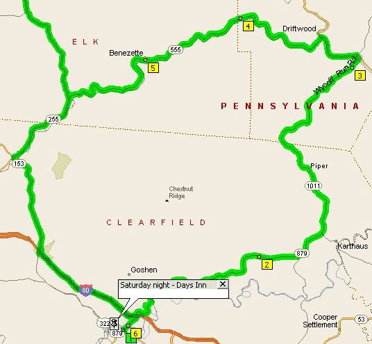
Our morning loop: I-80 to 153 to 555 (great road) to 120 to Wykoff Road (another great road) to 1011 to 879 to lunch. On the way back home we took I-80 to 153 to 255 but continued north this time.
Unfortunately, the rain was on it’s way and even before we managed to get out of the parking lot it already had started raining. The rain was light and didn’t spoil our fun, at first, but once it started to come down pretty hard, it was no longer a good time.
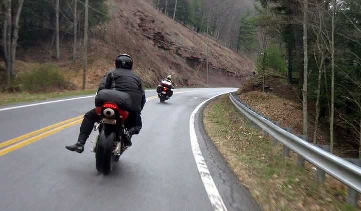
Rain on 555, there are elk here, but we didn't see any
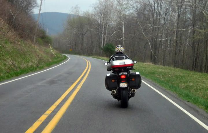
The above three pictures were taken by my friend Jay from his bike as we rode 555
The beginning of Wykoff Run Road at 120
The Wykoff Run Road bridge is pretty neat
Three hours later we arrived at the lunch spot, but we already suspected with the rainy weather, many people would not be showing up today. The majority of the people that were here, were riders who rode from further away, there were also a few day trippers, but not as many as the last two years, where we had around 150-200 bikes. And no one ordered the 15 lbs burger today. Lunch was still a lot of fun and a few prices were given away.
Gassing up before going to lunch, I don't look really happy do I? It's the rain
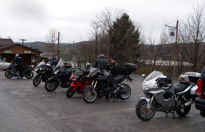
Parking lot at Denny's Beer Barrel Pub
Mike won this t-shirt
After lunch we were one of the last people to leave
Heading northwest: 153 to 255 to 321 to 6
321 to 6 to 948 to 666 to 62 - I read good stuff about 666 on the net, I'm sure it was a good road many years ago, it was very broken up with pavement missing filled in with gravel, much better for my dual-sport then my street bike
666 to 62, my favorite part of 62 is the section north of here, from Warren to Tionesta
358 turns to 88 in Ohio, there are a few nice curves in PA on 358, not many curves on 88 in OH
528 to 422 to I-480, we stayed the night in North Ridgeville, OH
We did 361 miles today.
Our morning loop: I-80 to 153 to 555 (great road) to 120 to Wykoff Road (another great road) to 1011 to 879 to lunch. On the way back home we took I-80 to 153 to 255 but continued north this time.
Unfortunately, the rain was on it’s way and even before we managed to get out of the parking lot it already had started raining. The rain was light and didn’t spoil our fun, at first, but once it started to come down pretty hard, it was no longer a good time.
Rain on 555, there are elk here, but we didn't see any
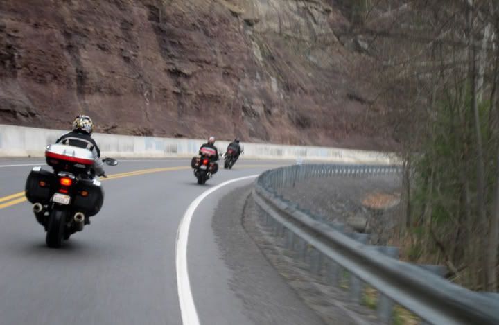
The above three pictures were taken by my friend Jay from his bike as we rode 555
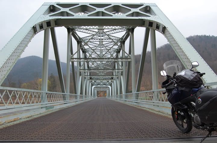
The beginning of Wykoff Run Road at 120
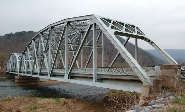
The Wykoff Run Road bridge is pretty neat
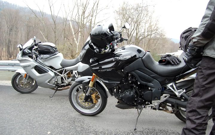
Three hours later we arrived at the lunch spot, but we already suspected with the rainy weather, many people would not be showing up today. The majority of the people that were here, were riders who rode from further away, there were also a few day trippers, but not as many as the last two years, where we had around 150-200 bikes. And no one ordered the 15 lbs burger today. Lunch was still a lot of fun and a few prices were given away.
Gassing up before going to lunch, I don't look really happy do I? It's the rain
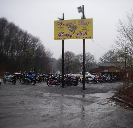
Parking lot at Denny's Beer Barrel Pub
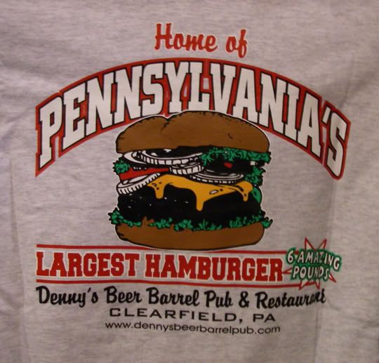
Mike won this t-shirt
After lunch we were one of the last people to leave
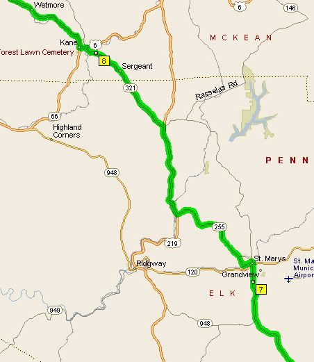
Heading northwest: 153 to 255 to 321 to 6
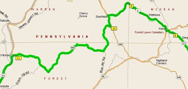
321 to 6 to 948 to 666 to 62 - I read good stuff about 666 on the net, I'm sure it was a good road many years ago, it was very broken up with pavement missing filled in with gravel, much better for my dual-sport then my street bike
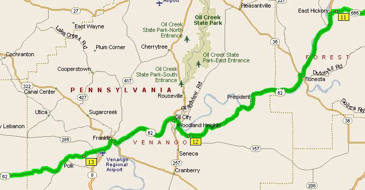
666 to 62, my favorite part of 62 is the section north of here, from Warren to Tionesta
358 turns to 88 in Ohio, there are a few nice curves in PA on 358, not many curves on 88 in OH
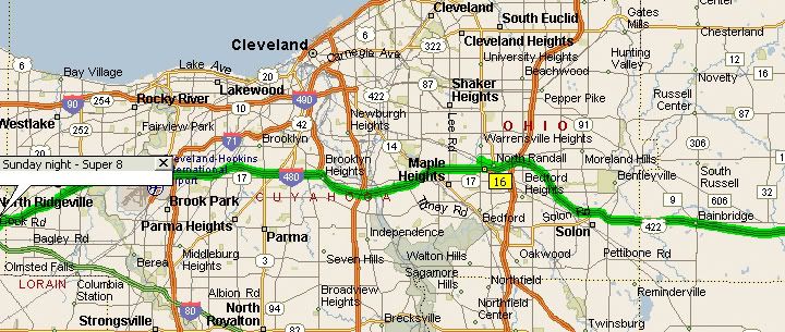
528 to 422 to I-480, we stayed the night in North Ridgeville, OH
We did 361 miles today.
Wednesday, April 23, 2008
Day 2: Big Burger Run WV & PA
We did 308 miles today. Our day started with a beautiful sunrise over the Ohio River.
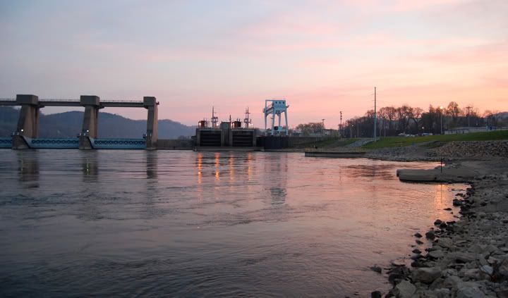
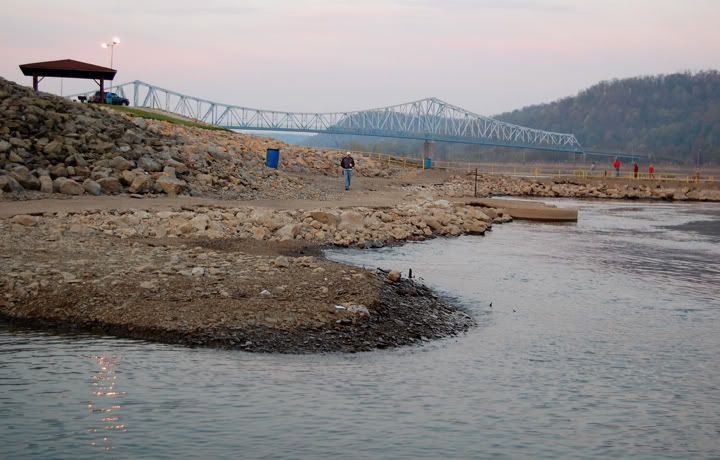
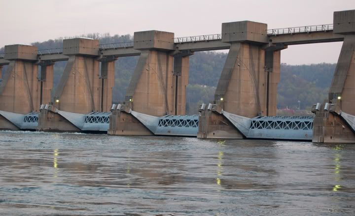
Ohio River in New Martinsville, WV at sunrise
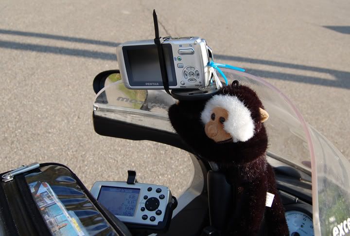
First thing first today. My friend Alex had an assortment of different sized zip ties. I used three to hold the camera on to the RAM camera mount. Unfortunately the zip tie that went around the camera, was too close to the on/off button and at times it got in the way of turning on the camera.
My usual process for taking pictures of roads is to take a picture of the road sign within the first few shots, that way later on when I download the pictures form the camera and I start sorting through them, I know what road the pictures are off. That was very hard to with the zip tie in the way. Many times the road sign appeared and I just wasn’t quick enough to turn the camera on, so on this trip I don’t have the road pictures labeled. I know what day the pictures were taken but not what specific road the picture is off, unless there was something about the road that made me remember it.
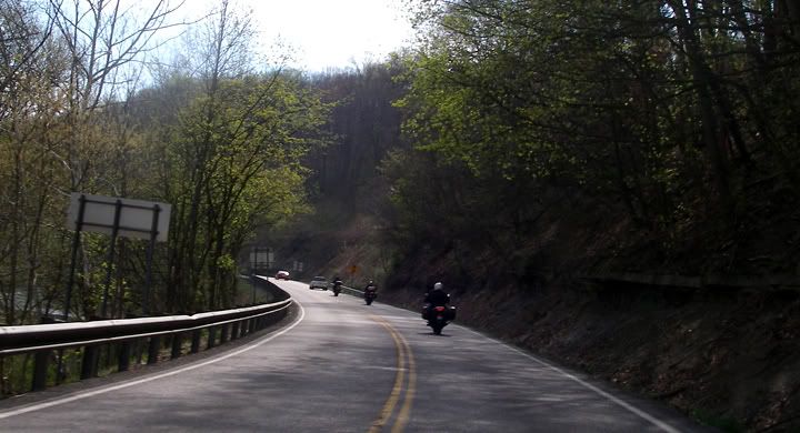
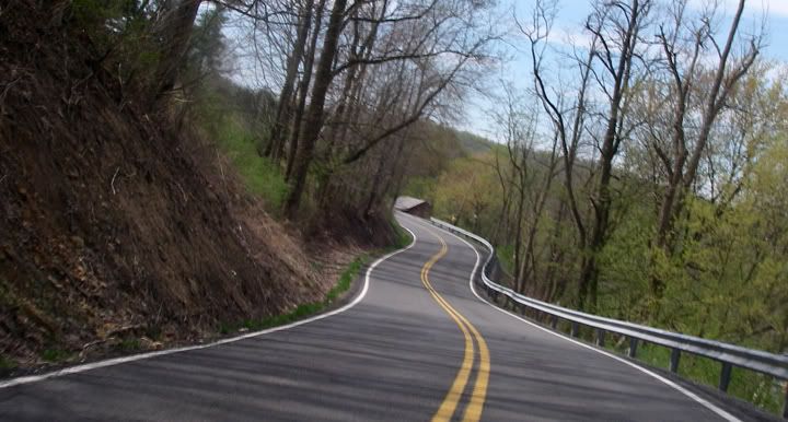
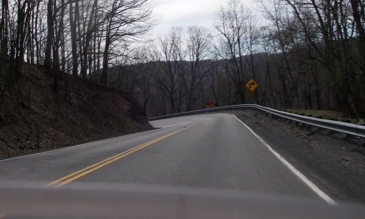
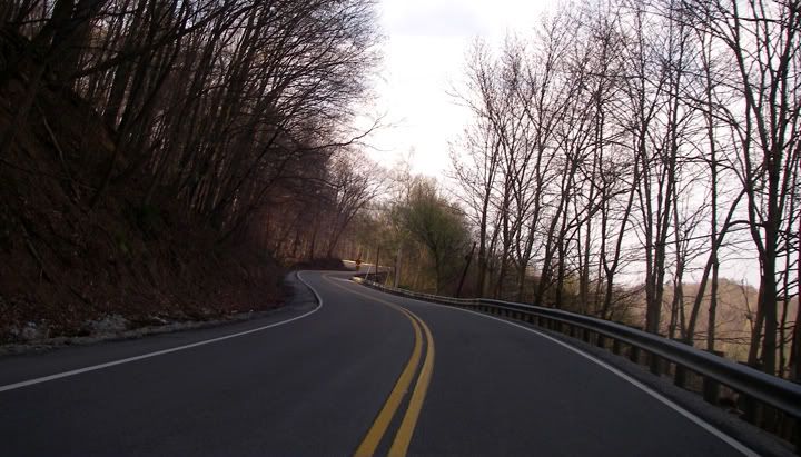
It doesn’t get any better then this, starting out the day on roads like these.
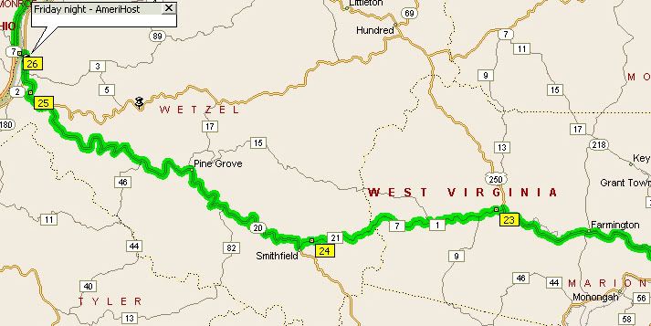
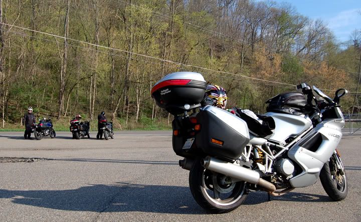
First roads of the day: 20 to Price Fork Road to Brink Road to 250... all great roads
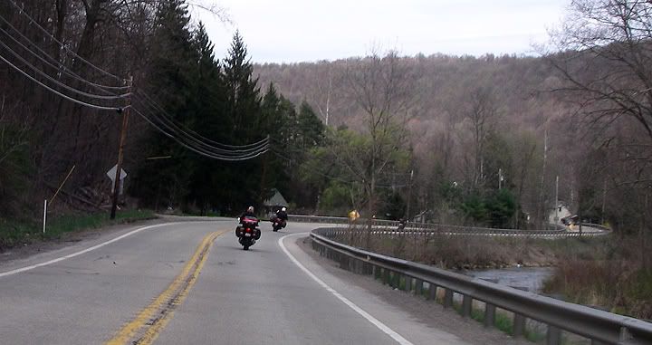
250
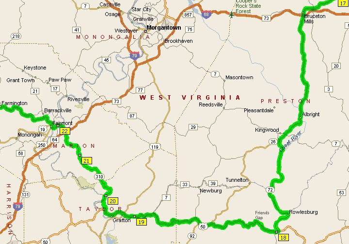
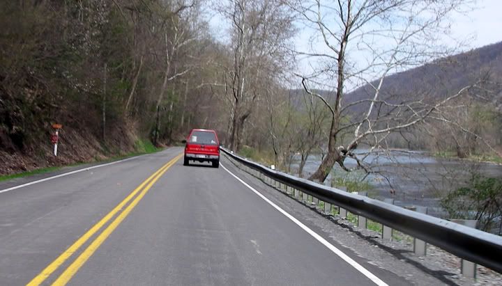
250 to 310 to 50 to 72: some tight stuff on 310, awesome climb and descent through Friends Gap on 50, very scenic curves with views of Cheat River on 72
Cheat River along 72
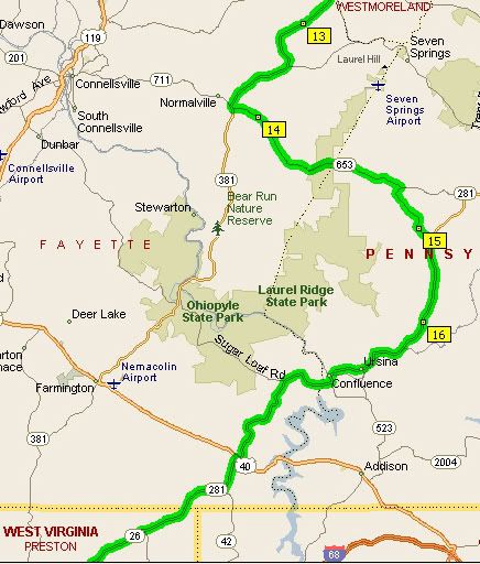
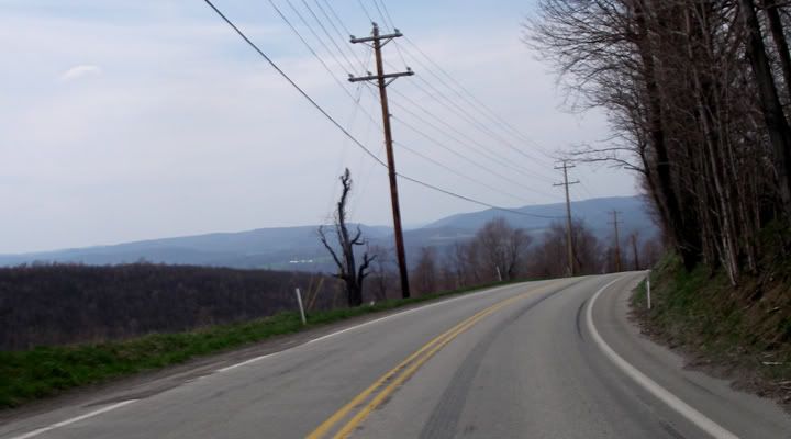
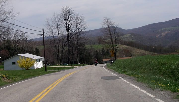
26 turns in to 281 in PA, Whipkey Dam Road 653 to 381; good roads, some remote
A nice view of the mountains
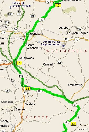
381 to 31 to 119, we ran out of time and found some major roads to make up some time, 119 went through too many cities though
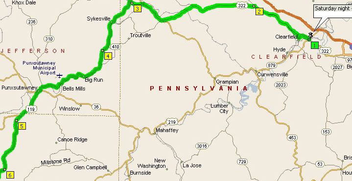
119 to 322; end of 119 had nice curves, 322 had no traffic
Ohio River in New Martinsville, WV at sunrise
First thing first today. My friend Alex had an assortment of different sized zip ties. I used three to hold the camera on to the RAM camera mount. Unfortunately the zip tie that went around the camera, was too close to the on/off button and at times it got in the way of turning on the camera.
My usual process for taking pictures of roads is to take a picture of the road sign within the first few shots, that way later on when I download the pictures form the camera and I start sorting through them, I know what road the pictures are off. That was very hard to with the zip tie in the way. Many times the road sign appeared and I just wasn’t quick enough to turn the camera on, so on this trip I don’t have the road pictures labeled. I know what day the pictures were taken but not what specific road the picture is off, unless there was something about the road that made me remember it.
It doesn’t get any better then this, starting out the day on roads like these.
First roads of the day: 20 to Price Fork Road to Brink Road to 250... all great roads
250
A rest stop on 20
250 to 310 to 50 to 72: some tight stuff on 310, awesome climb and descent through Friends Gap on 50, very scenic curves with views of Cheat River on 72
Cheat River along 72
26 turns in to 281 in PA, Whipkey Dam Road 653 to 381; good roads, some remote
A nice view of the mountains
381 to 31 to 119, we ran out of time and found some major roads to make up some time, 119 went through too many cities though
119 through too many towns
119 to 322; end of 119 had nice curves, 322 had no traffic
Subscribe to:
Posts (Atom)