
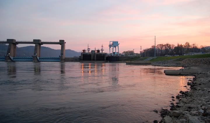
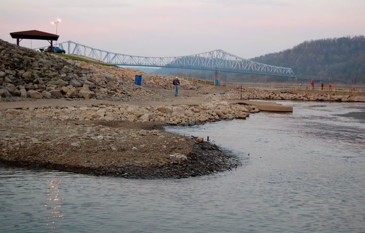
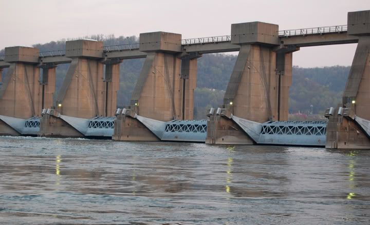
Ohio River in New Martinsville, WV at sunrise
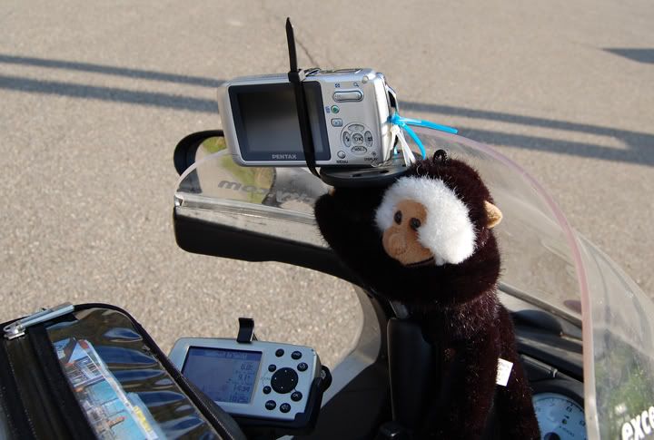
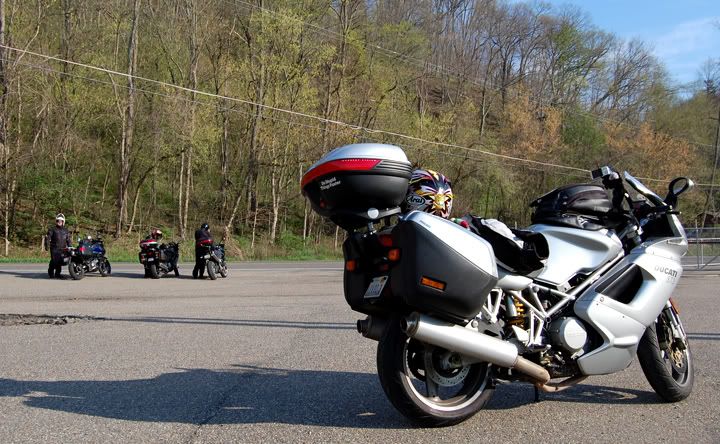
First thing first today. My friend Alex had an assortment of different sized zip ties. I used three to hold the camera on to the RAM camera mount. Unfortunately the zip tie that went around the camera, was too close to the on/off button and at times it got in the way of turning on the camera.
My usual process for taking pictures of roads is to take a picture of the road sign within the first few shots, that way later on when I download the pictures form the camera and I start sorting through them, I know what road the pictures are off. That was very hard to with the zip tie in the way. Many times the road sign appeared and I just wasn’t quick enough to turn the camera on, so on this trip I don’t have the road pictures labeled. I know what day the pictures were taken but not what specific road the picture is off, unless there was something about the road that made me remember it.
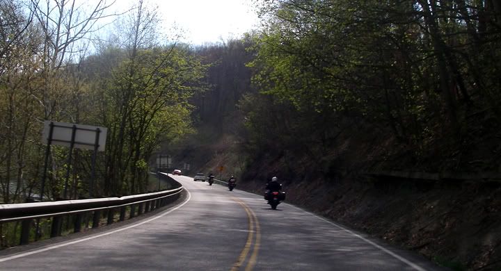
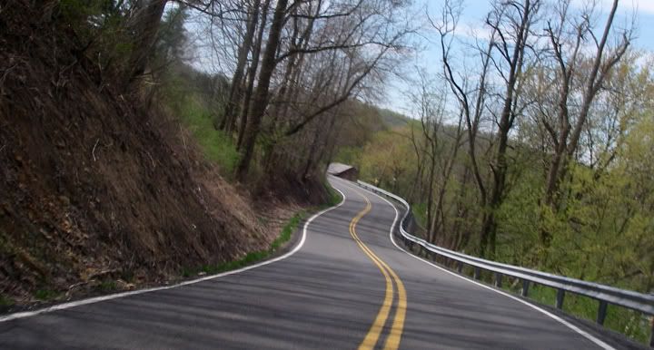
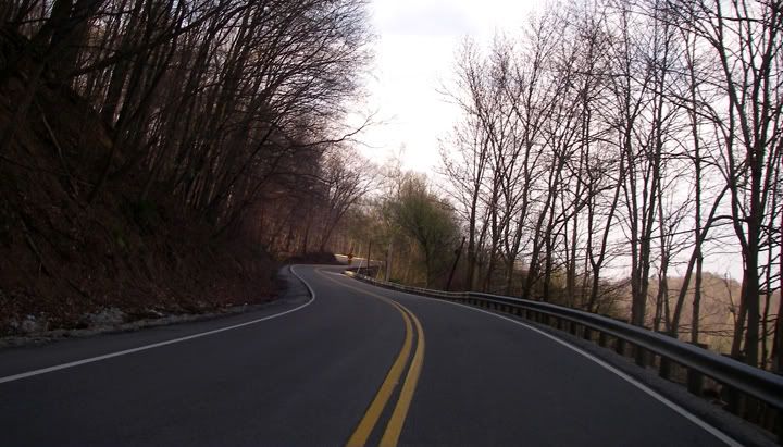
It doesn’t get any better then this, starting out the day on roads like these.
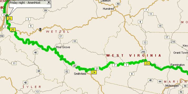
First roads of the day: 20 to Price Fork Road to Brink Road to 250... all great roads
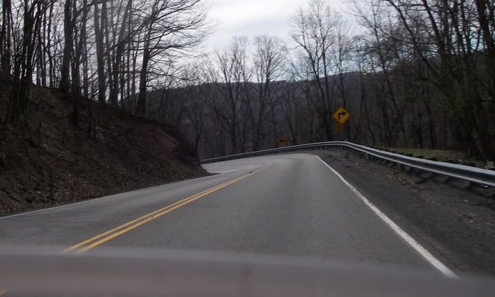
250
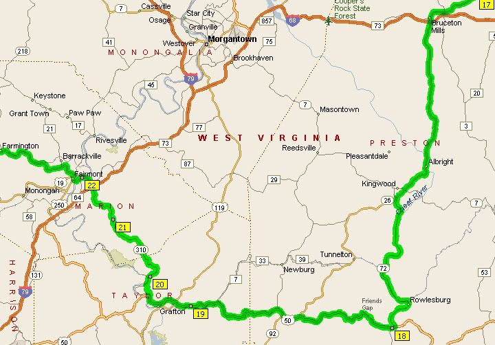
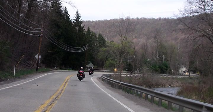
250 to 310 to 50 to 72: some tight stuff on 310, awesome climb and descent through Friends Gap on 50, very scenic curves with views of Cheat River on 72

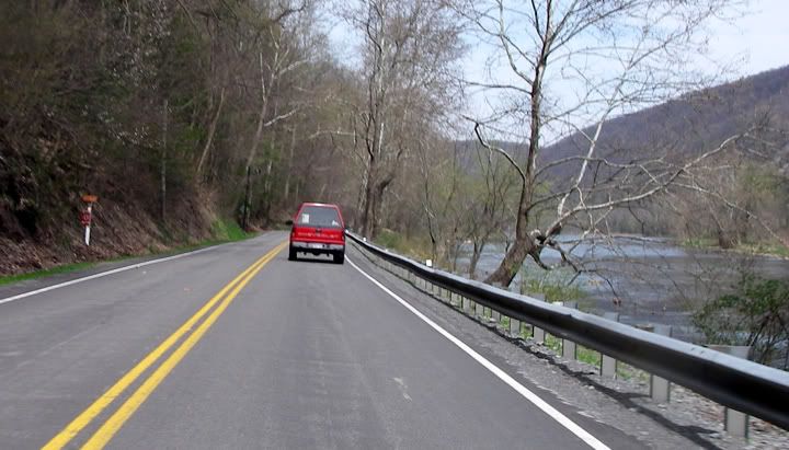
Cheat River along 72
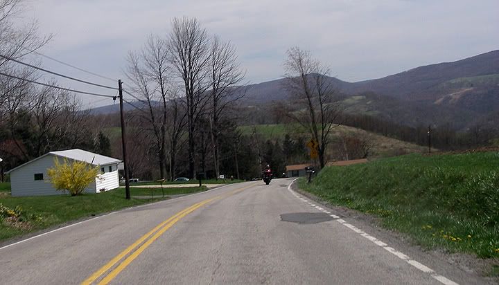
26 turns in to 281 in PA, Whipkey Dam Road 653 to 381; good roads, some remote
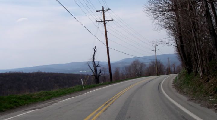
A nice view of the mountains
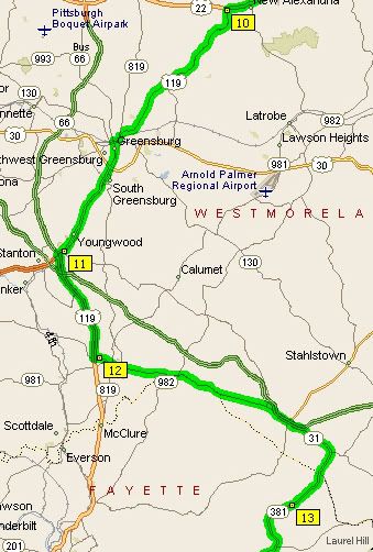
381 to 31 to 119, we ran out of time and found some major roads to make up some time, 119 went through too many cities though
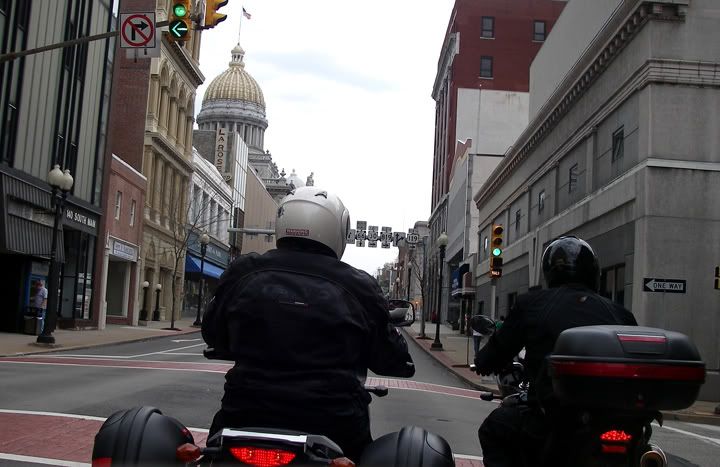
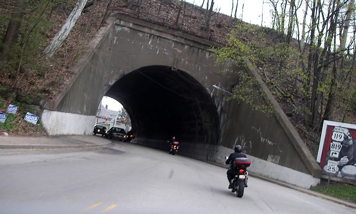
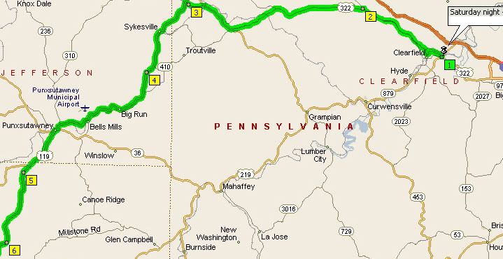
119 to 322; end of 119 had nice curves, 322 had no traffic

No comments:
Post a Comment