Saturday, February 28, 2009
Hike/Snowshoe: RMNP Fern Lake TH to Fern Lake
Another beautiful winter day in the mountains today. It was going to get in to the low 50’s in Fort Collins today, it was in the mid 30’s to the low 40’s in the mountains. I went snowshoeing with another group today at the Rocky Mountain National Park. We started from the Fern Lake Trailhead which can be reached by driving Bear Lake Road and traveling 2 miles to the junction of Moraine Park Road. Then making a right onto Moraine Park Road and driving past the Cub Lake Trailhead, to the last dirt parking lot, which is the Fern Lake Trailhead. The section of the road from Cub Lake Trailhead to Fern Lake Trailhead is dirt.
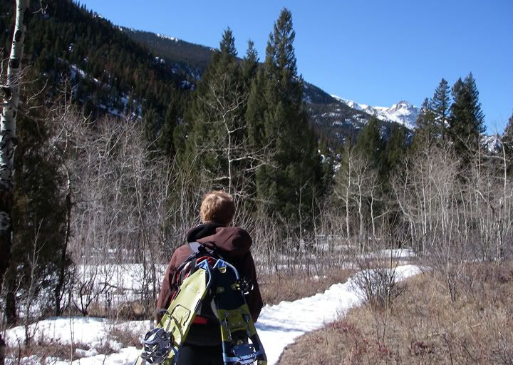
Starting our hike at the Fern Lake Trailhead with very little snow on the ground
The goal for today was to reach Odessa Lake, which was 4.8 miles from Fern Lake Trailhead for a round total of 9.6 miles and an elevation gain of 1,910 feet. So far my longest snowshoe trek was about 7.5 miles on a mostly level trail, so today’s trek would definitely be a challenge for me.
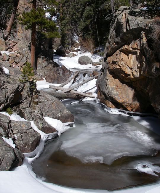
The Big Thompson River flows through a deep pool above the bridge that is a popular stopping point for hikers, this spot is commonly referred to as “The Pool”
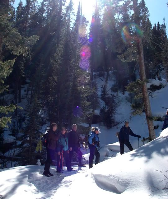
One of many steep switch backs on the Fern Lake Trail
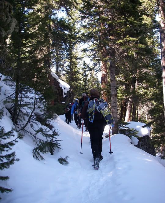
Hiking for many miles in the trees on the Fern Lake Trail
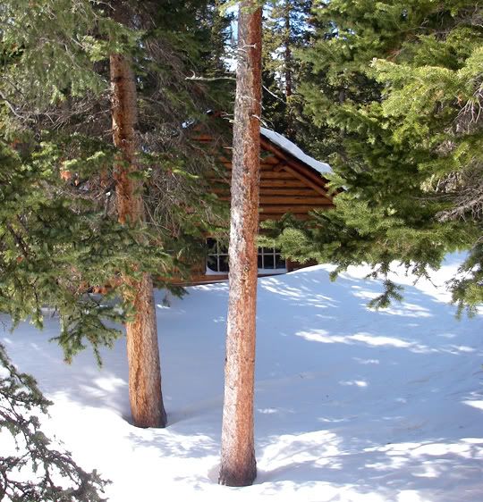
The Park Service Patrol Cabin at Fern Lake half covered by snow
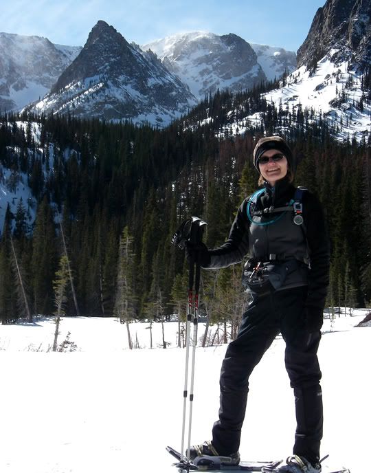
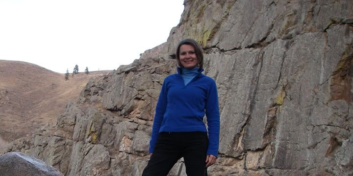
Posing in front of Fern Lake
There was no snow at the Fern Lake Trailhead which sits at 8,155 feet in elevation. We strapped our snowshoes to our packs and started hiking. The first section of the trail was mostly level, which was a nice way to warm up for the climb that awaited us later. It seems like so many hikes I do start out with an immediate climb, and in minutes it seems I’m out of breath since there is no warm up period, no adjustment time, before the steep and strenuous sections.
Just a few steps past “The Pool” we turned right and started to climbed up the switchbacks which continue for a long while, all the way to Fern Lake. The section we just hiked from the Fern Lake Trailhead to “The Pool“, I hiked back in October of last year but in the opposite direction, starting out at Cub Lake TH and ending the hike at Fern Lake TH. The falls colors were at their peak back then and the trail looked amazing. Today, the same section of trail was far from amazing. I think each trail has a particular season where it looks best.
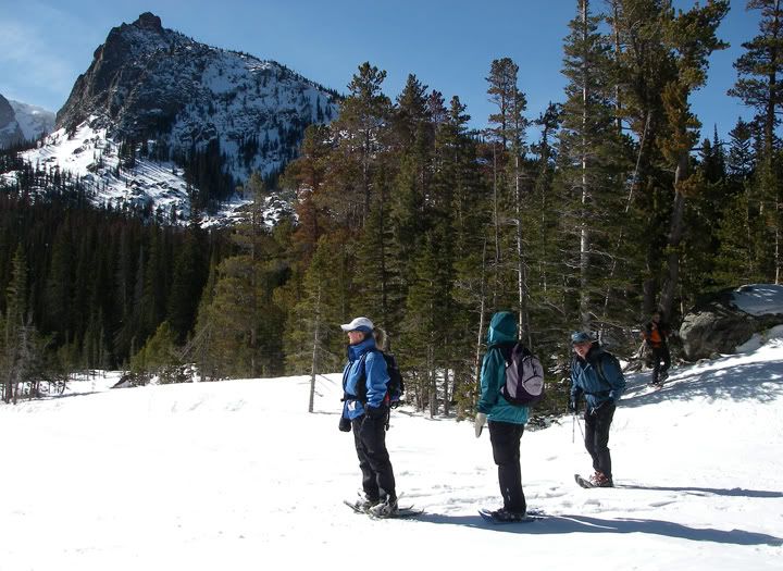
To get the great scenery, you have to hike to the east side of Fern Lake
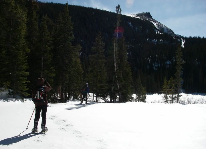
Jagged mountain peaks above Fern Lake
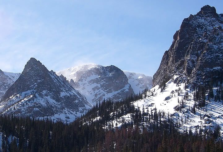
A closeup of the peaks and the snow blowing up there
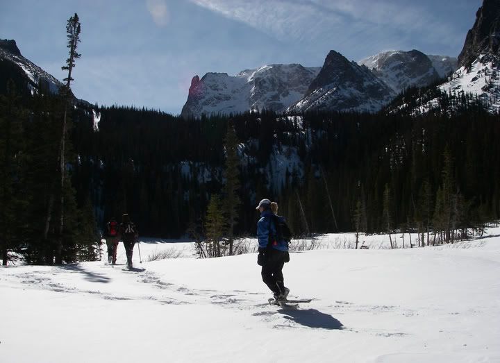
We continued to climb and take breaks, climb and take breaks. There was snow on the ground now but not enough for snowshoes and it was pretty well packed down. We continued hiking in between trees for a long time, there wasn’t too much to see from the trail. About a mile and a half before reaching Fern Lake we finally put our snowshoes on. The snow was deep here and there must have not been too many people up here lately, the snow wasn’t packed down. Come to think about it, we haven’t seen any other people on the trail today except for us.
We arrived at Fern Lake and took a lunch break. From Fern Lake to Odessa Lake is 0.9 miles but still a 400 foot climb in elevation. Fern Lake was a popular destination in the park, but most people that hike this trail turn around at Fern Lakes. I’ve read on the internet that in the summer time Fern Lake trail and the Fern Lake area gets crowded, but if you want to find an empty trail and lunch stop, just continue to Odessa Lake where solitude awaits. I guess not make people made the extra effort to get up to Odessa Lake.
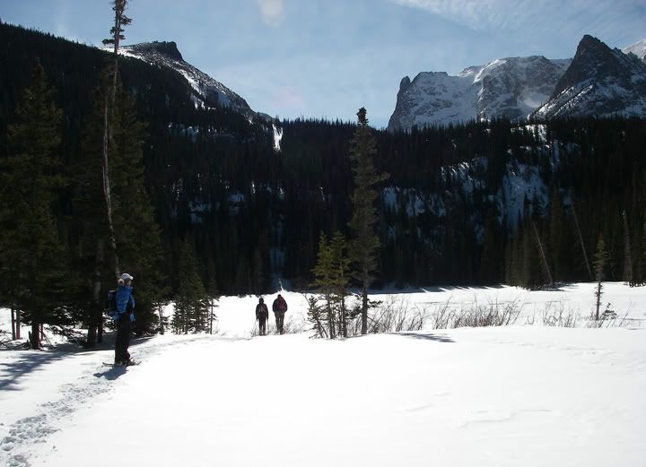
Heading to Fern Lake itself
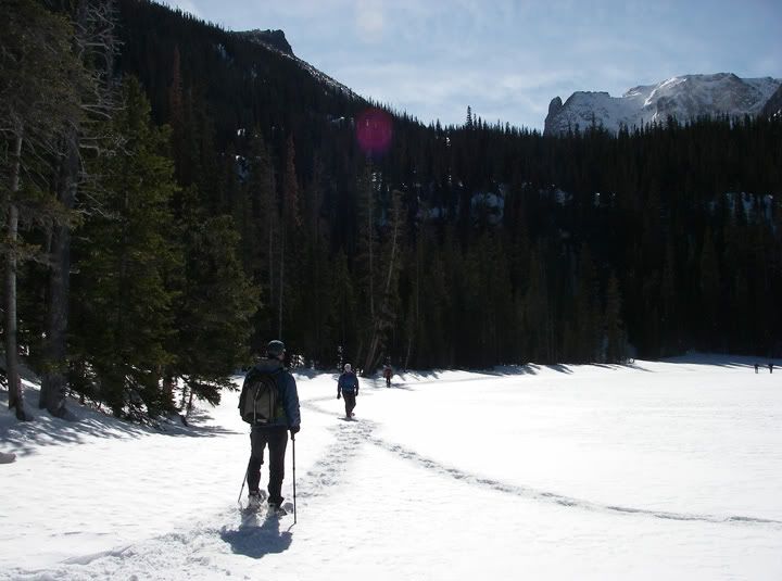
Snowshoeing on top of the frozen and snow covered Fern Lake
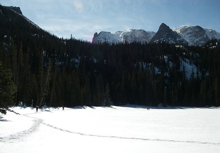
The peaks behind Fern Lake are Little Matterhorn (11,586’), Knobtop Mountain (12,331’) and Notchtop Mountain (12,129’)
After lunch there were discussions to turn around or keep going, the group decided to push on, but as we snowshoed in the direction of the “Odessa Lake” sign and around Fern Lake, we realized that we were the first people to be up here since the new snow fell. Since there were no foot steps or snowshoe tracks in the snow we weren’t sure where the trail was. We hung out for a bit at Fern Lake, it was frozen solid and covered by so much snow and it was hard to say for sure that there was a lake there. The wind was blowing the snow off the peaks above the lake, and it was noticeably more windy at the lake.
After snowshoeing around the area we finally found another sign further up for “Odessa Lake” but we knew that the trail might be covered in snow and we might loose it again before being able to make it to Odessa Lake. Having already snowshoed 4 miles today, we decided to skip Odessa Lake and start heading back.
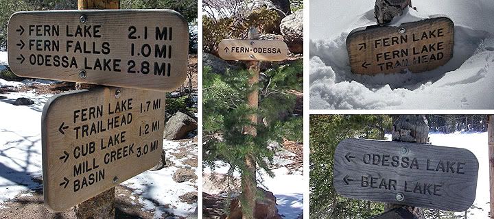
Signs on the way to Fern Lake from the Fern Lake Trailhead
Heading back down to the Fern Lake Trail was a lot easier and quicker then heading up to Fern Lake. Seven hours later we were back in the parking lot and I have to say that I was feeling a bit sore from this long hike and snowshoe. This was a harder winter hike, mostly because of the distance and the elevation gain. But at least there was nothing along the way to distract you from the climb. There wasn’t much of scenery along the way, but at the end at Fern Lake, the view was pretty spectacular. I think I’ll try to get up to Odessa Lake in the summer time when the trail is visible again. After completing this great hike, we celebrated in Estes Park at the Cantina with some New Belgium Fat Tire beer.
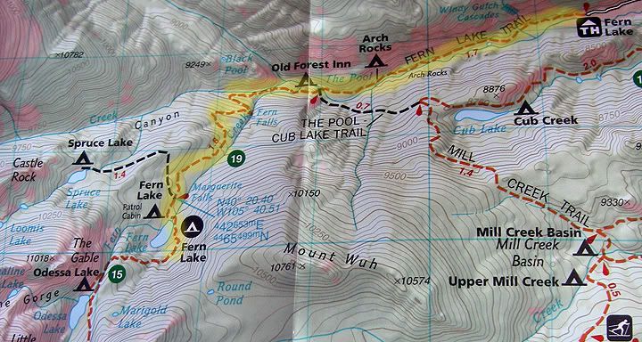
The high-lighted trail is the route we took from Fern Lake Trailhead to Fern Lake - 7.6 miles round trip
Note: There are two ways to get to Fern Lake:
One is from the Bear Lake TH, the other is from the Fern Lake TH.
Starting at Fern Lake TH makes the hike a further climb, since Fern Lake TH is at a lower elevation compared to Bear Lake TH. String at Fern Lake TH also makes this hike longer.
Elevation at Fern Lake Trailhead: 8,155 feet
Elevation at Fern Lake: 9,530 feet
Elevation gain: 1,375 feet
Distance from Fern Lake TH to Fern Lake: 3.8 miles
Difficulty: Moderate
Friday, February 27, 2009
Fort Collins: Greyrock Meadows Trail
I wanted to go hiking yesterday but it was kind of windy and cold. Today wasn’t that much better but I wanted to get out there for a little bit. I decided to go hiking at Greyrock again but this time I would hike the longer and more scenic Meadows Trail. For more information about this hike check out my previous post on the Greyrock Trail.
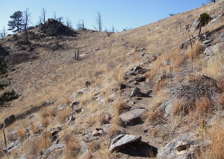
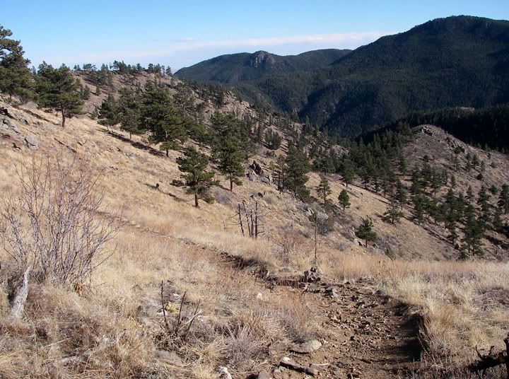
Heading up a rocky section of Meadows Trail
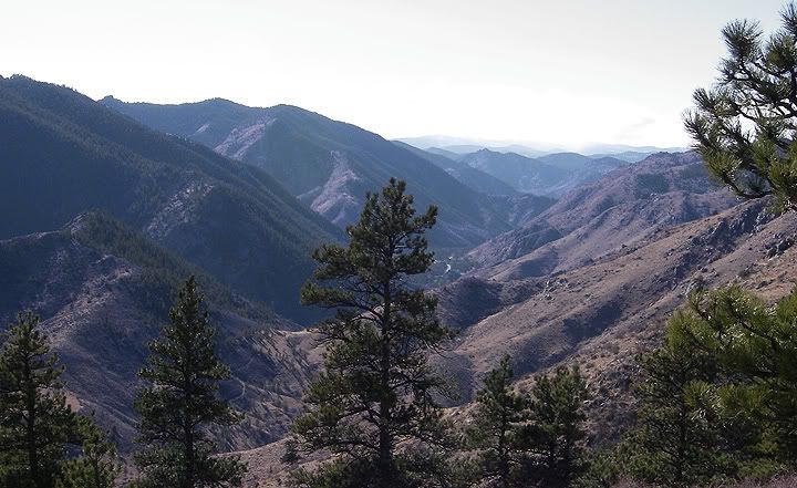
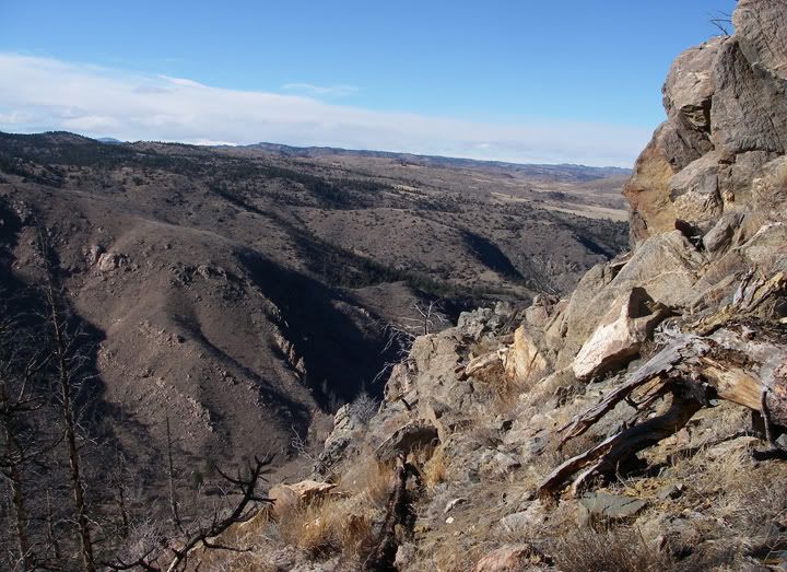
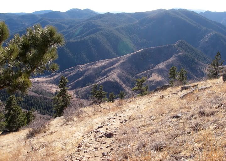
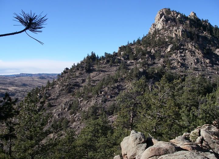
Looking to the west from the Meadows Trail
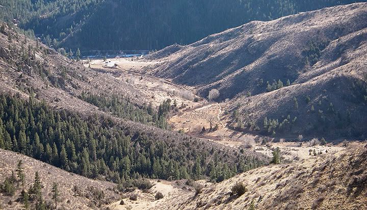
That's the Hewitt Gulch trail way down there which I hiked two weeks ago
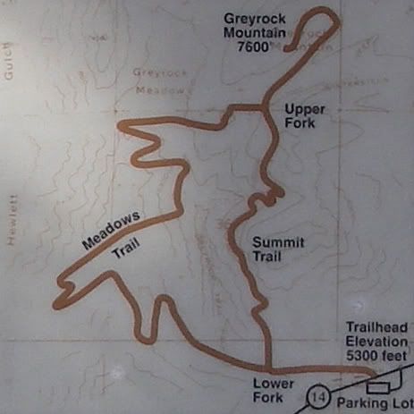
I already knew I would not be making the summit of Greyrock today, for that I needed to get here earlier then 2:30PM. The plan for today was to hike 3.5 miles via the Meadows Trail to the junction of the two trails, then hike the 2.35 miles back down via the Greyrock Trail for a total of 5.85 miles.
Looking to the east at the trail I just hiked
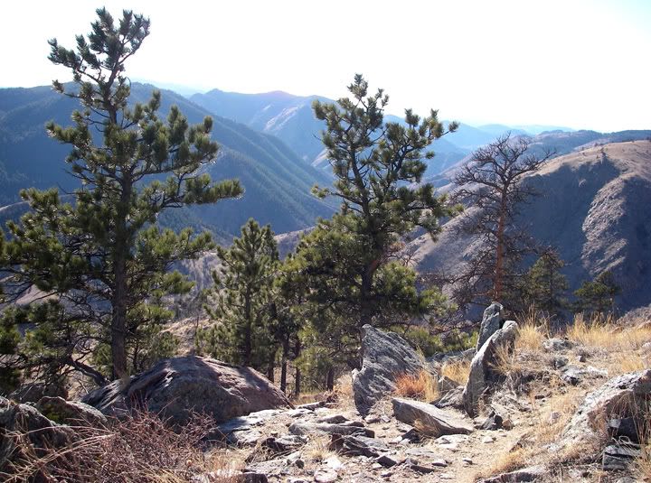
Looking to the south
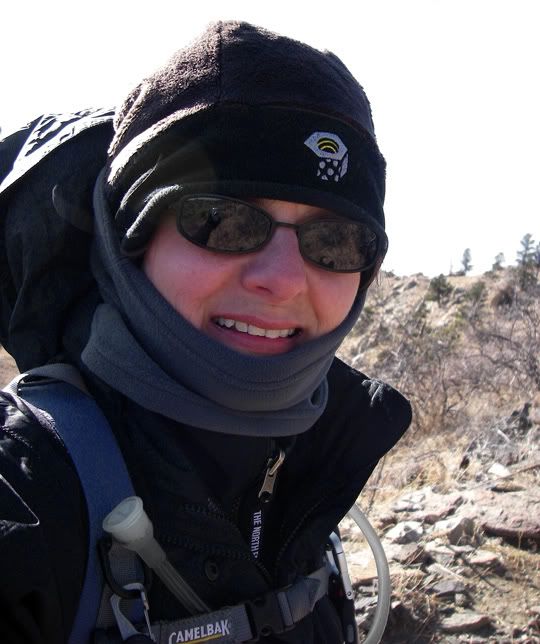
It wasn’t too cold or too windy at the bottom of the trail but as I started to make my way up the trail the wind was definitely blowing harder and the temperature was no longer comfortable, my altimeter was displaying 32 degrees. I hiked a little bit more and decided to put on my NorthFace jacket shell and my neck gaiter. This was one of those rare times when I was actually putting on the layers at the beginning of the hike, not taking them off like I usually do. The wind was blowing so hard I had a tough time putting on my jacket, as I held my pack down so it wouldn’t blow off the mountain.
Mid 30's with 30-40MPH winds today, a bit chilly for a hike
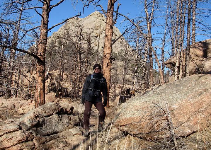
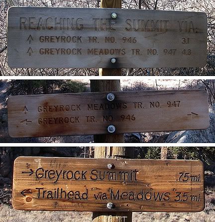
The wind was blowing very hard on the south side of the mountain, I only would stop for a few seconds at a time to take some pictures and to admire the scenery, which was definitely way better from the Meadows Trail then from the Greyrock Trail. The trail here was still rocky at times, but there were some nice and long dirt sections as well. The trail finally headed in to the trees where the wind was no longer a nuisance. The trail headed north from there and along the way I saw a glimpse of the Greyrock summit as I stood across from it on the trail. That was just before I started the descent in to the meadow below. After crossing the meadow I climbed back up finally arriving at the sign announcing I was only .75 miles from the summit.
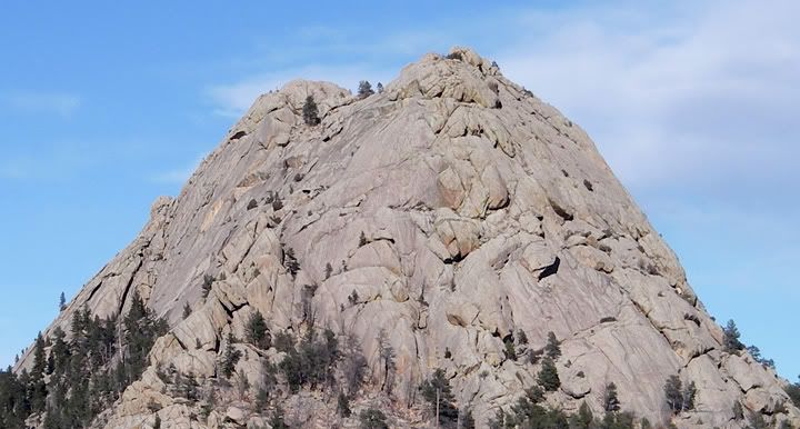
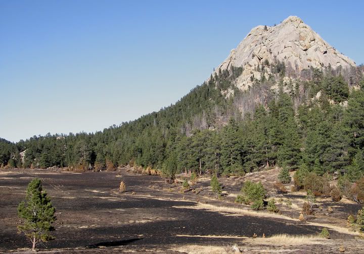
The summit of Greyrock from the Meadows Trail
Looking to the north from the Meadows Trail
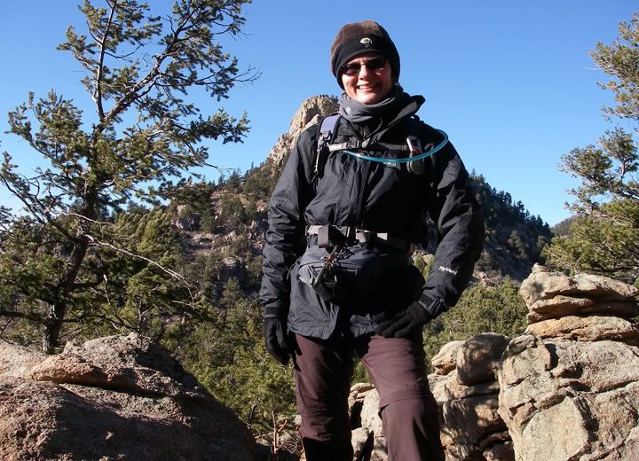
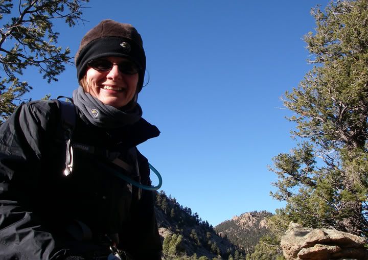
I wanted to have a picture with the rock, from the above picture, behind me - but because the wind kept blowing my camera on the ground - this was the best shot I got before I gave up
The meadow and the Greyrock Summit, this is where the Meadow Trail starts climbing again
The sky was very blue to the north, and there was less wind too
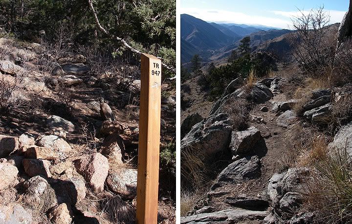
Rocky section of the Meadow Trail, at times it was easy to loose the trail, these trail markers helped (left)
Approaching the Greyrock Summit from the Meadow Trail - just around the corner is where the Greyrock Summit Trail meets up with the Meadows Trail
Signs along the trail
Since I’ve already hiked the Greyrock Trail I knew how long it would take me to get back to the car. I really wished I had brought my trekking poles with me this time. The descent is kind of rocky and steep at times, with some loose dirt that made me loose traction in a few places the trekking poles would have helped.
Beginning elevation: 5,300 feet
The summit: 7,600 feet
Elevation gain: 2,300 feet
Distance to summit via:
Greyrock Meadows Trail: 4.3 miles
Greyrock Summit Trail: 3.1 miles
Wednesday, February 25, 2009
50 miles around town dual-sport ride
Some of you may be asking by now why so little motorcycle content lately? It’s not like it’s been snowy and cold here all winter, there were plenty of opportunities to ride, but yet I didn’t.
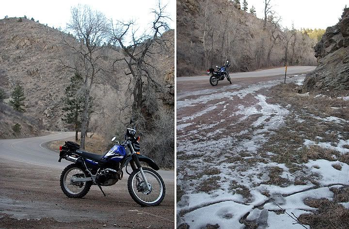
Heading out of town toward the foothills
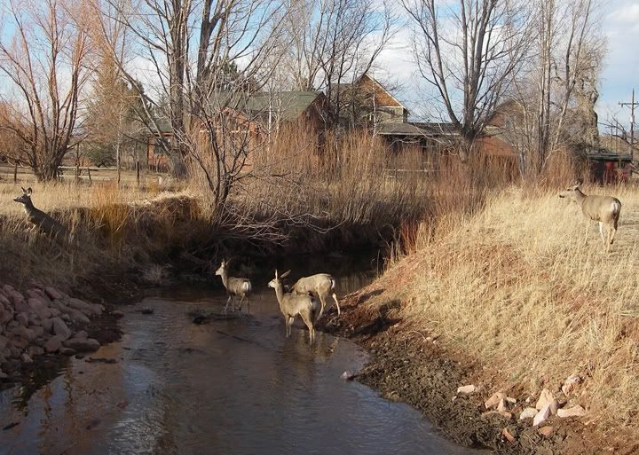
I stopped the bike in the above picture because of all the deer prancing around
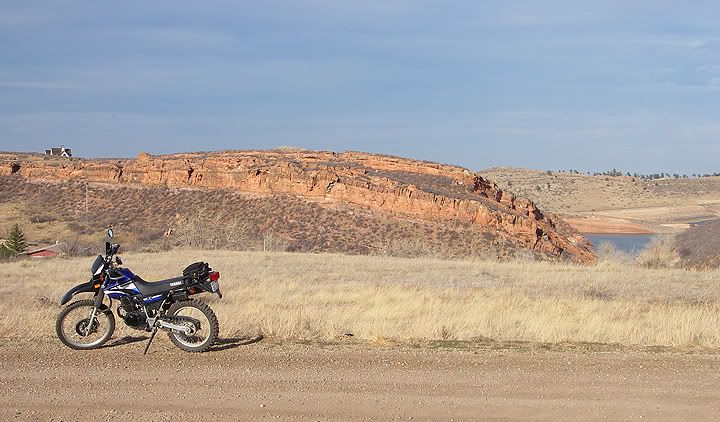
Took a ride out to Lory State Park, the road to the park turned out to be unpaved
Back when I lived in Illinois, there really weren’t many things to do in Chicagoland, so when the whether warmed up I would naturally take the motorcycle out for a ride. Here in Colorado is different story. There are many nice weather days during winter but all the good motorcycle roads are under snow at least until April or May, so the only option for a ride is to ride the few low elevation roads, which I would be thrilled about if I was still living in Illinois since they are twisty not straight and flat except…. there are just so many other things to do here that I couldn’t do in Illinois. Hiking, snowshoeing, riding the bicycle. All those activities are a blast to do in the winter time.
Then rode up Rist Canyon from the east side but it got cold really quick on that road and soon I was seeing snow so I turned back around
It’s kind of weird. In Illinois I couldn’t ride the motorcycles over winter because of the snow, ice and bitter cold, here I can but I rather do other things. No worries though my motorcycle friends. The snow will soon be melting in the mountains and the curvy roads bill be again open to ride on. I’m already planning some rides and even some multi-days tours.
Poudre River
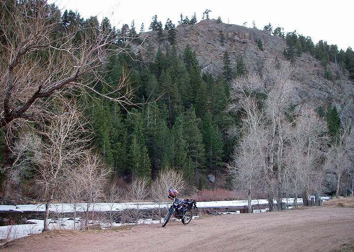
In the late afternoon I ended up by the Poudre River, there is a picnic area that I have passed by so many times but have never stopped to see
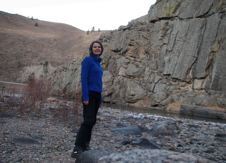
Exploring around the river, that's highway 14 behind me, dual-sport boots not great for walking on rocks
One more picture because I was having a good helmet-hair day and the rocks behind me look awesome
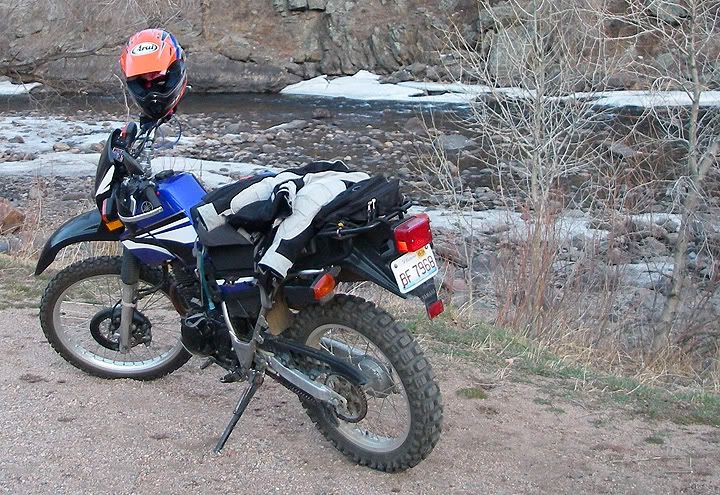
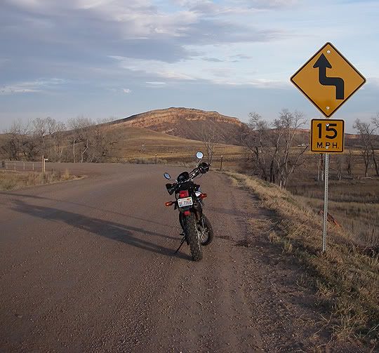
Today was 65 degrees and I took the XT225 for a 50 mile ride around town and then I headed just west of Fort Collins. The XT225 is much better for exploring new roads out here because when I’m just riding around on new roads the chances of finding dirt road is pretty high in this county.
My "long-cut" back to Fort Collins is made up of dirt roads
Tuesday, February 24, 2009
XC Skiing: RMNP East Glacier Creek Trail
Today was 62 degrees in Fort Collins and it was pretty warm in the mountains as well. The plan was to go cross-country skiing at Rocky Mountain National Park. My friend Rita and I have never been on cross-country skis before and we wanted to check it out. We had tried to get in to some classes earlier this winter but they filled up before we had a chance to register. Now being late in the season, there were no lessons offered so we just decided to rent the gear and do it.
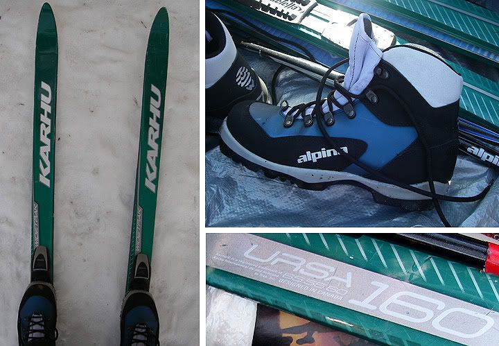
My rented xc skis and boots
In the morning we met in Estes Park at the Mountain Shop on highway 34. They rent snowshoes and cross-country skis and almost anything else that you might think of. The prices were good. $10 - all day - skis, poles and boots.
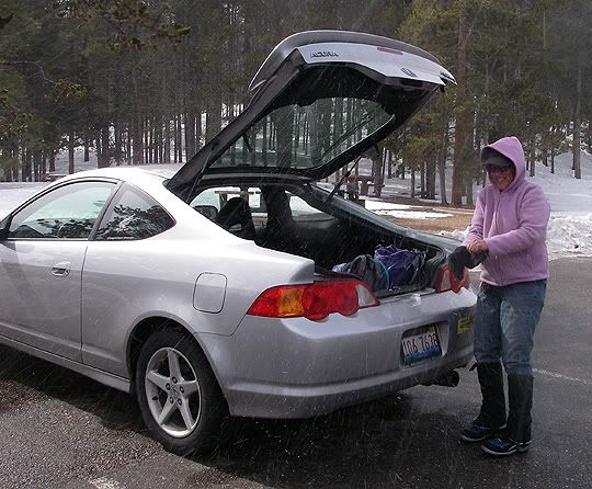
Rita getting her stuff out of the car as the snow starts to fall
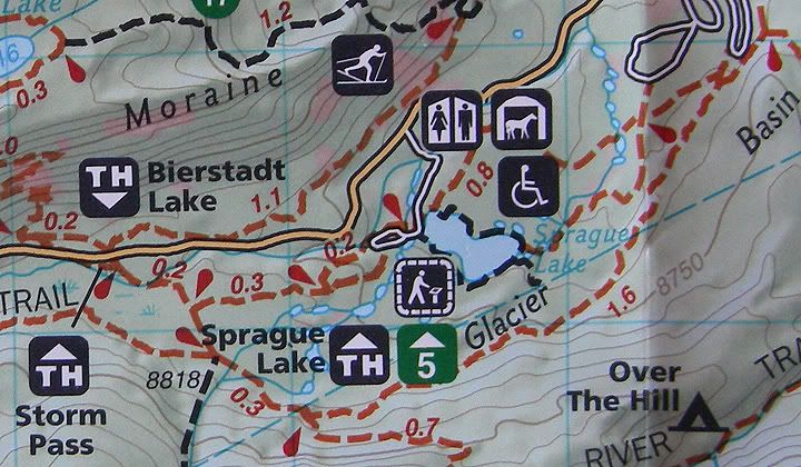
We got our stuff and headed to the park. I did a bit of searching on the internet beforehand to find out where newbie’s like us should go xc skiing and since we’ve already done the Bear Lake loop on our snowshoes and wanted something a bit longer, we headed for the Sprague Lake Trailhead on Bear Lake Road in Rocky Mountain National Park.
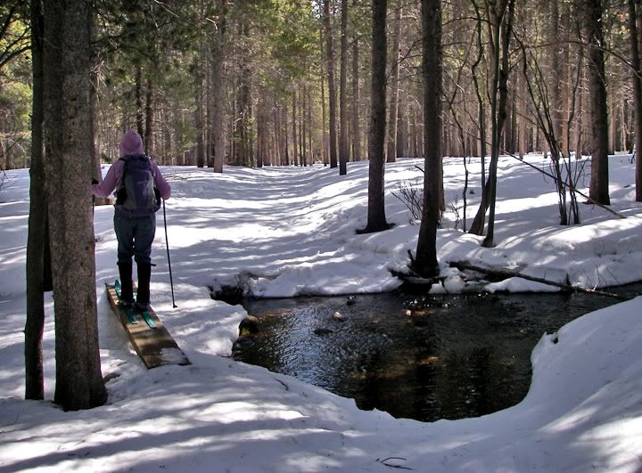
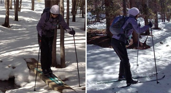
Rita crossing the creek
Rita ahead of me on the trail
It was a bit windy in the mountains today, and really windy in Estes Park. When we arrived at the Sprague Lake Trailhead located at 8,720 feet in elevation it started snowing all the sudden, but the one snow cloud quickly moved off and the sunshine returned again.
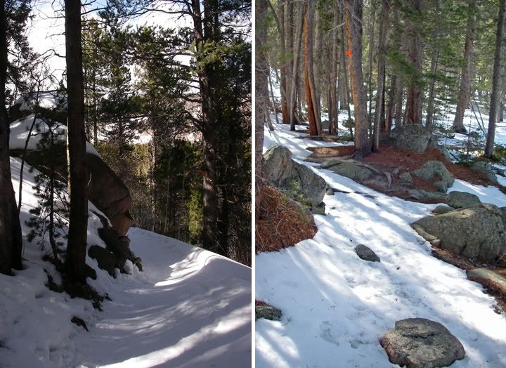
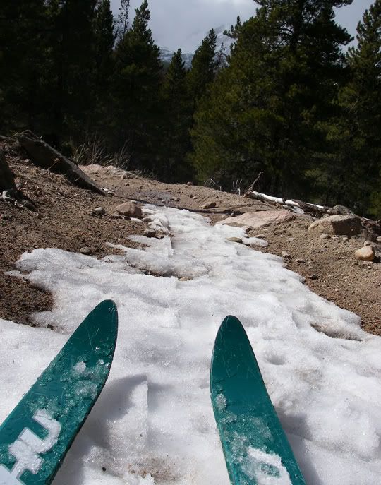
A curve with a boulder in the trail (left), rocks in the trail (right)
East Glacier Creek Trail
We got our skis on and took off. It was a weird feeling to have these long things connected to my feet. It took me a while to figure out how to propel myself forward. Rita must have figured it out early on because she pulled away from me and for a while there was no catching her. We only saw one guy on the trail and it was right at the beginning of the trail. He was cross country skiing as well.
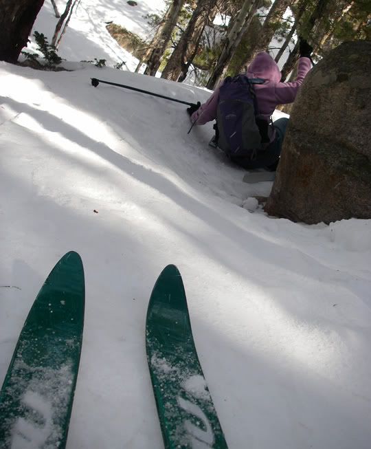
That boulder in the trail was hard to go around on the skis
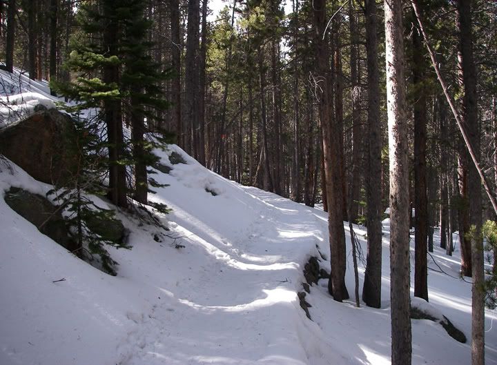
A dry section of the trail
About half a mile from the Sprague Lake Trailhead we arrived at this huge intersection of many trails and we looked on our map to see where we should go. To the east was the East Glacier Creek Trail which would bring us back to the Sprague Lake and the Trailhead where we started from. The loop was approximately 2.5 -3 miles so we decided to try it out. At first the trail was level and traveled in between the trees where the snow was still soft and deep. But after a while we started climbing at bit in elevation and the trail got narrow and steep in places. Since we didn’t know how to steer or stop very well yet, at times when the trail was kind of twisty and steep, with a nasty drop off the side, we would take our skis off and walk those sections.
Getting ready to put my skis back on after walking through a difficult section
Sprague Lake was behing this hill
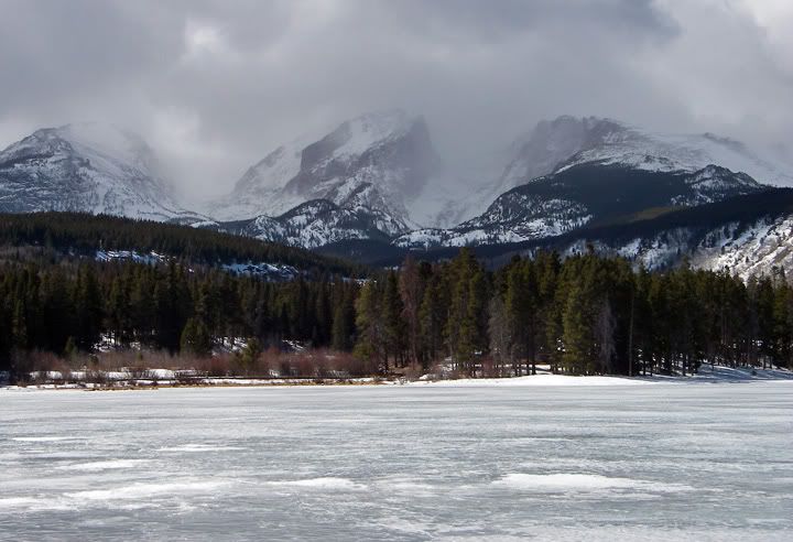
Sprague Lake (looking to the west)
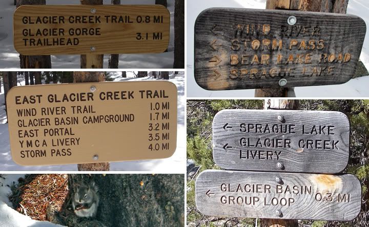
Some of the signs we saw on the trail and a squirrel
Rita got some great shots of me, yes - we were both wearing purple today, no - we didn’t plan it that way
The parts of the trail that were level or had small not so steep hills were awesome, and allowed us to coast for a few minutes continuously. There was not a lot of snow toward the top of the trail, where the trees opened up. Here we had to make a left and head back to Sprague Lake. Again we carried our skis through those sections where there was no snow and further down we carried the skis again through some sections were there were many rocks protruding from beneath the snow. The section around Sprague Lake had no snow on it at all and it was very windy here so we had to carry our skis all the way to the car.
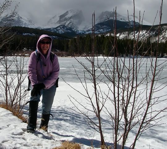
Rita at Sprague Lake
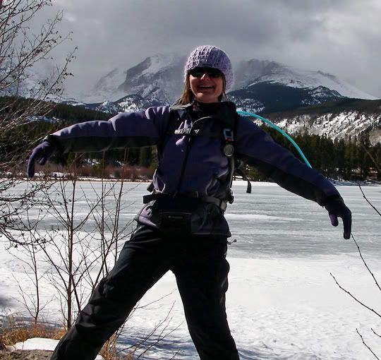
I'm getting pushed by the wind at Sprague Lake
After completing the loop and putting the skis back in the car we took a break and ate the sandwiches we brought with, then headed back to Estes Park to return our skis.
Map of the area
I enjoyed cross country skiing a lot and noticed that I was exercising new parts of my legs, different parts from snowshoeing and hiking. Toward the end of the loop got faster and I got a bit more confidence on the downhill section. The steering was much easier but I never did fully figure out the stopping. This is something I think I’d like to do more often even though it is way harder than snowshoeing.
Subscribe to:
Posts (Atom)