
I wanted to go hiking yesterday but it was kind of windy and cold. Today wasn’t that much better but I wanted to get out there for a little bit. I decided to go hiking at Greyrock again but this time I would hike the longer and more scenic Meadows Trail. For more information about this hike check out my previous post on the Greyrock Trail.
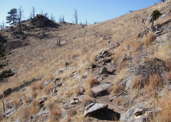
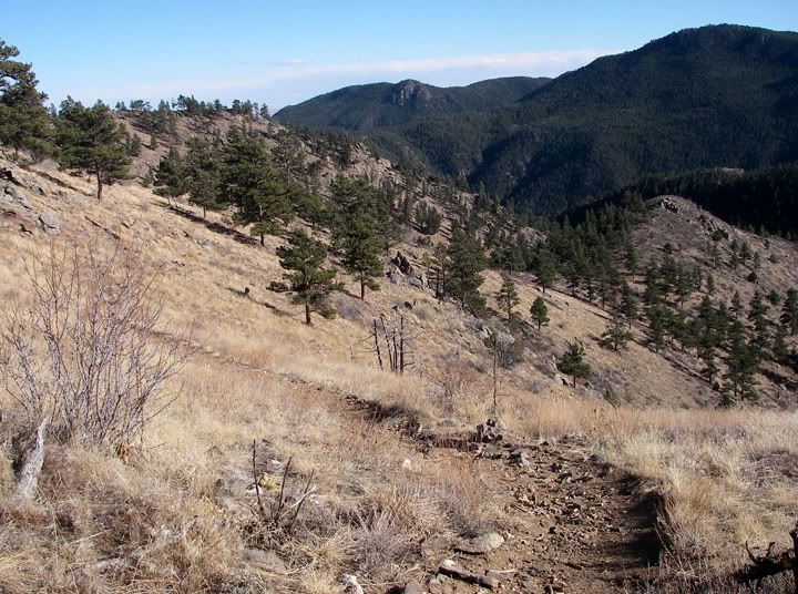
Heading up a rocky section of Meadows Trail
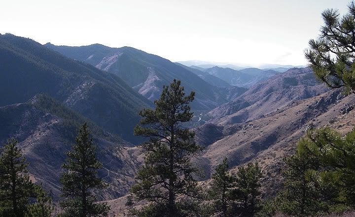
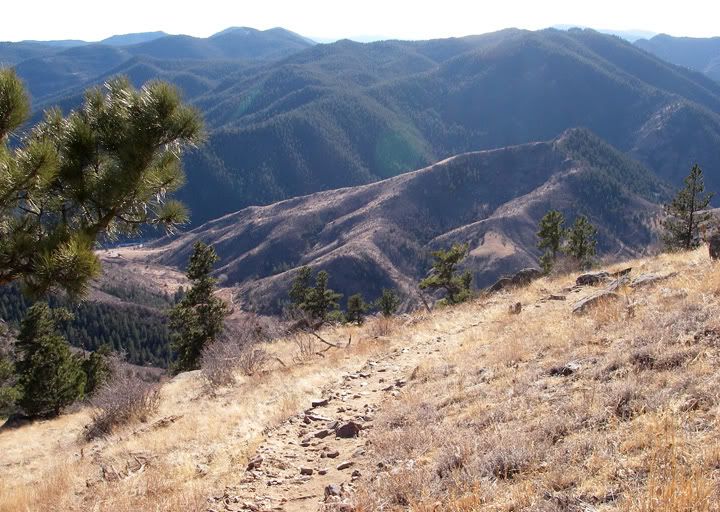
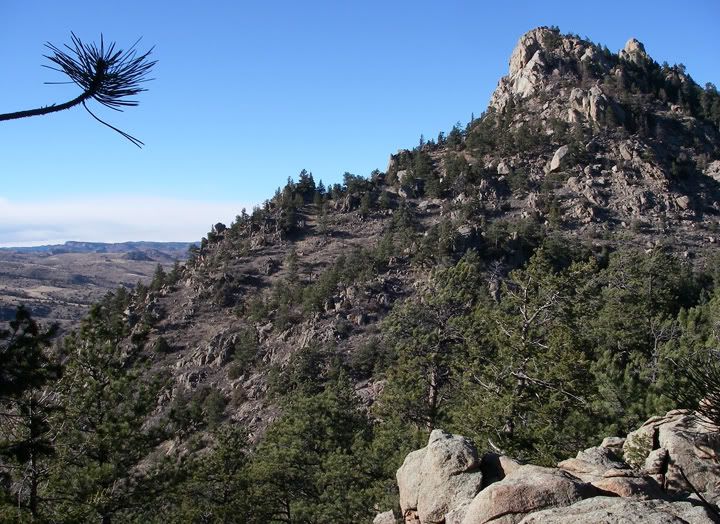
Looking to the west from the Meadows Trail
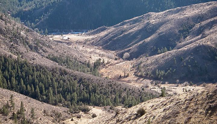
That's the Hewitt Gulch trail way down there which I hiked two weeks ago
I already knew I would not be making the summit of Greyrock today, for that I needed to get here earlier then 2:30PM. The plan for today was to hike 3.5 miles via the Meadows Trail to the junction of the two trails, then hike the 2.35 miles back down via the Greyrock Trail for a total of 5.85 miles.
Looking to the east at the trail I just hiked
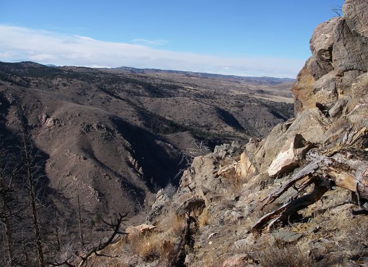
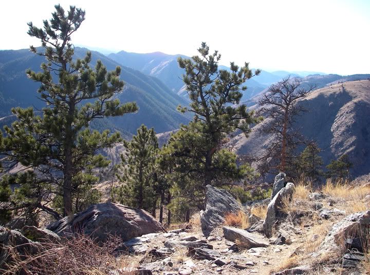
Looking to the south
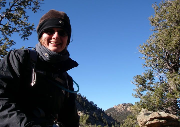
It wasn’t too cold or too windy at the bottom of the trail but as I started to make my way up the trail the wind was definitely blowing harder and the temperature was no longer comfortable, my altimeter was displaying 32 degrees. I hiked a little bit more and decided to put on my NorthFace jacket shell and my neck gaiter. This was one of those rare times when I was actually putting on the layers at the beginning of the hike, not taking them off like I usually do. The wind was blowing so hard I had a tough time putting on my jacket, as I held my pack down so it wouldn’t blow off the mountain.
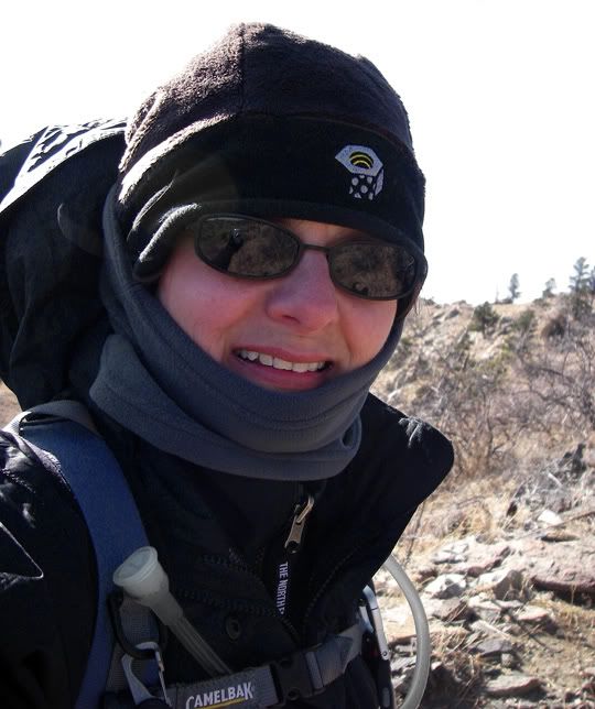
Mid 30's with 30-40MPH winds today, a bit chilly for a hike
The wind was blowing very hard on the south side of the mountain, I only would stop for a few seconds at a time to take some pictures and to admire the scenery, which was definitely way better from the Meadows Trail then from the Greyrock Trail. The trail here was still rocky at times, but there were some nice and long dirt sections as well. The trail finally headed in to the trees where the wind was no longer a nuisance. The trail headed north from there and along the way I saw a glimpse of the Greyrock summit as I stood across from it on the trail. That was just before I started the descent in to the meadow below. After crossing the meadow I climbed back up finally arriving at the sign announcing I was only .75 miles from the summit.
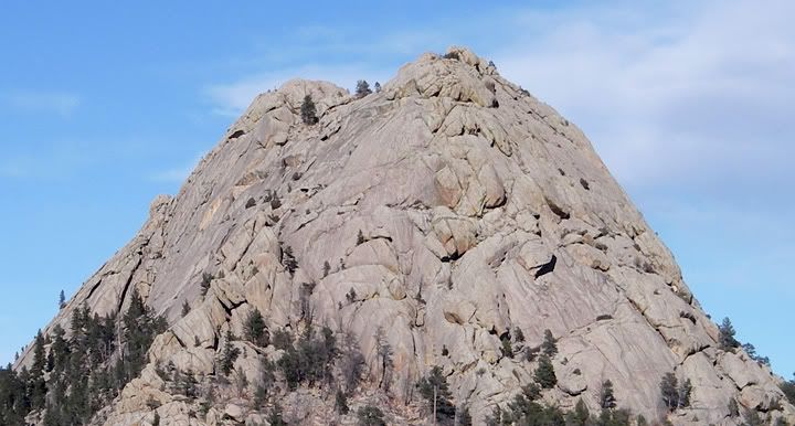
The summit of Greyrock from the Meadows Trail
Looking to the north from the Meadows Trail
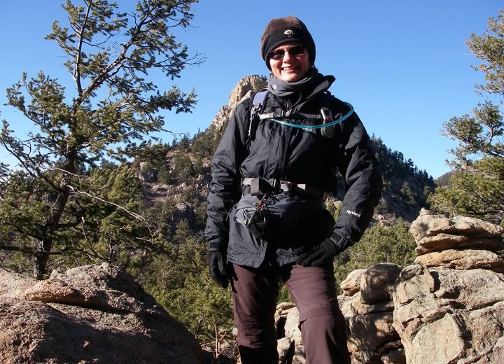
I wanted to have a picture with the rock, from the above picture, behind me - but because the wind kept blowing my camera on the ground - this was the best shot I got before I gave up
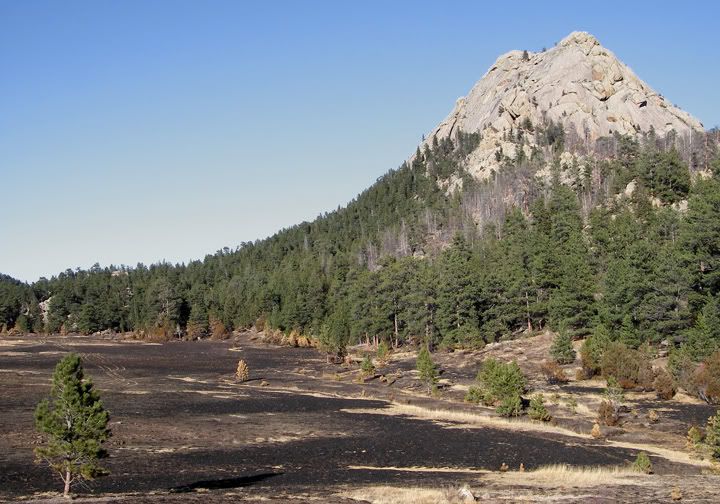
The meadow and the Greyrock Summit, this is where the Meadow Trail starts climbing again
The sky was very blue to the north, and there was less wind too
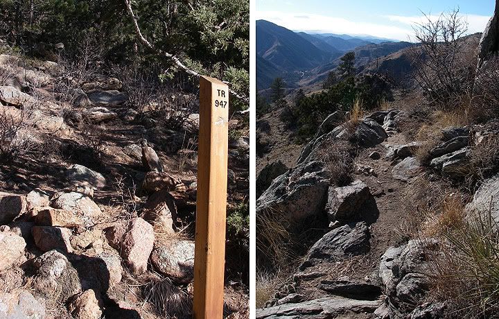
Rocky section of the Meadow Trail, at times it was easy to loose the trail, these trail markers helped (left)
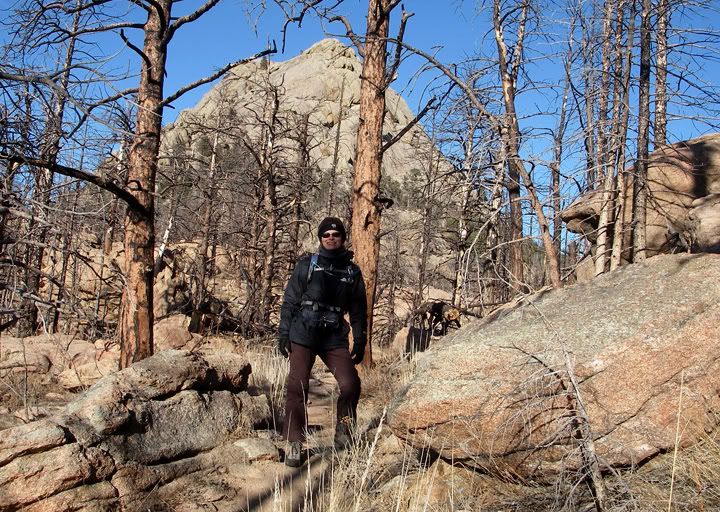
Approaching the Greyrock Summit from the Meadow Trail - just around the corner is where the Greyrock Summit Trail meets up with the Meadows Trail
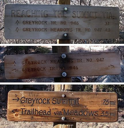
Signs along the trail
Since I’ve already hiked the Greyrock Trail I knew how long it would take me to get back to the car. I really wished I had brought my trekking poles with me this time. The descent is kind of rocky and steep at times, with some loose dirt that made me loose traction in a few places the trekking poles would have helped.
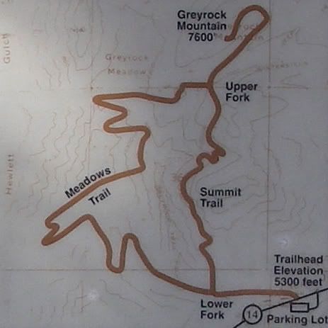
Beginning elevation: 5,300 feet
The summit: 7,600 feet
Elevation gain: 2,300 feet
Distance to summit via:
Greyrock Meadows Trail: 4.3 miles
Greyrock Summit Trail: 3.1 miles

No comments:
Post a Comment