
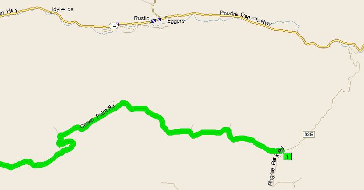
Crown Point Road is located in the Roosevelt National Forest west of Fort Collins. It travels west from Pingree Park Road and dead ends at the Zimmerman trailhead. Just a bit west of Crown Point is Cameron Pass and to the south is Rocky Mountain National Park. The Mummy Range is clearly visible form parts of the road. Crown Point Road is a wide dirt road, it steadily climbs in elevation reaching approximately 10,500 feet at the end.
The beginning of Crown Point Road at Pingree Park Road (CR-63E)
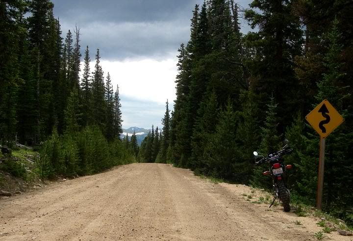
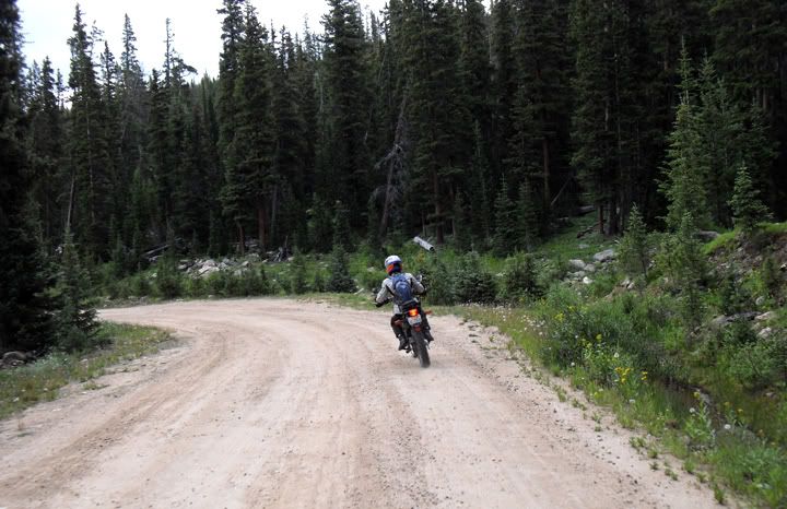
Lots of curves on Crown Point Road
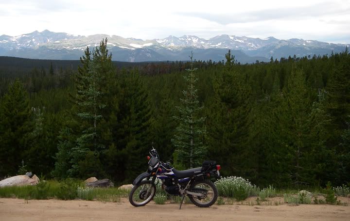
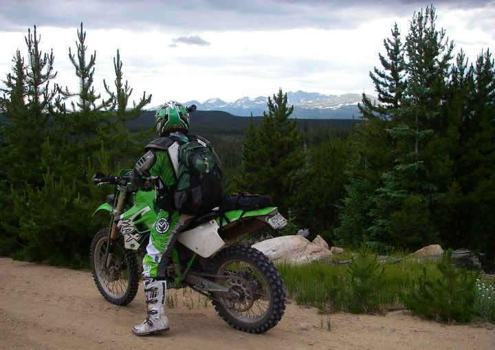
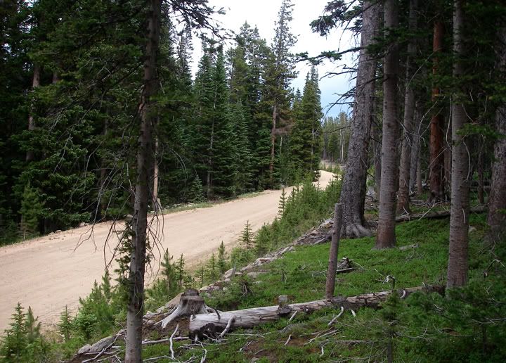
Beautiful mountain scenery
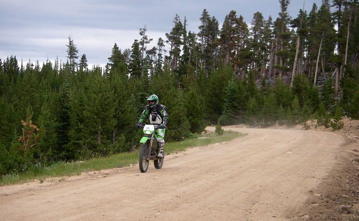

Most of Crown Point Road is dirt, with some gravel sections
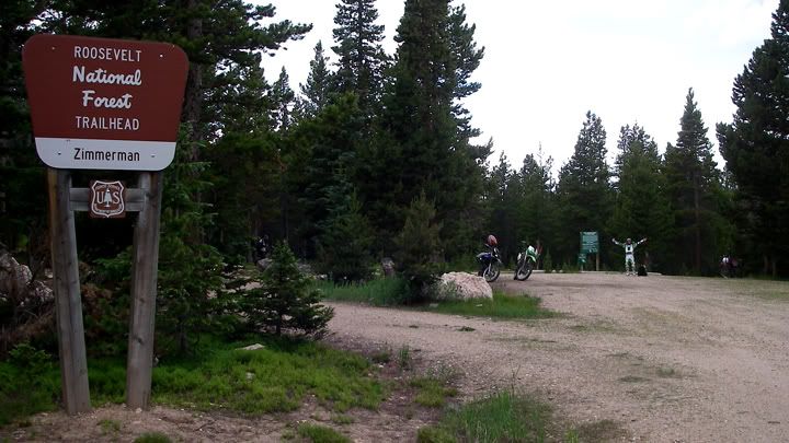
Zimmerman Trailhead is located at the end of Crown Point Road
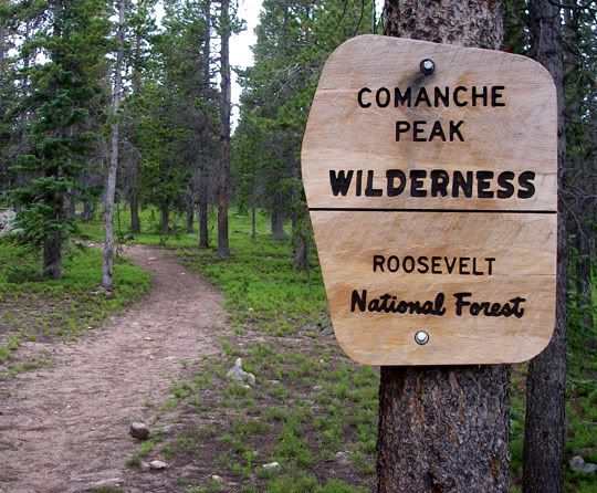
The hiking trail
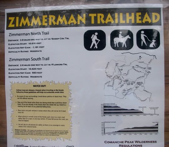
Elevation 10,616 feet

3 comments:
Glad to see you're still posting. I'm hooked on your adventures & photography. It's also got the wife wanting to get another motorcycle & tour after a 25 year break!
Steve,
I'm still posting, although it seems I'm continuously behind.
Awesome! That is great to hear about your wife wanting to tour. I wish you many fun motorcycle trips!
Anna
I strayed across this whilst looking at Silver City info. I drove up nad down the Crown Point Rd. 90-120 times a year for 5 years. Hiked that territory to death and loved every minute. Loved Fort Collins too. Stuck back in Bloomington IN for now, but will be in Silver City soon !
Post a Comment