
It seems like it’s been forever since I’ve been out on a hike. And it’s not like I’ve been doing other stuff instead of hiking. I haven’t done a thing since my ride on Jan 8th. Not sure what actually happened, but I had to move some heavy things in the garage to get my bike out and I guess I must have pulled something in my back because by the time I got back from the ride my back was and by night time it was hard to move around. Then I realized I also had a fever. Maybe I didn’t pull my back at all, maybe I was coming down with a bad cold.
The next two days I spent in bed. My back was feeling a lot better by the end of the weekend but one of my shoulders started to hurt really bad. Really weird since I’ve never have any problems like that before. The neck and shoulder muscles were very hard and sore. My shoulder pain was actually more painful then my back pain a few days ago. Since it was my right shoulder that was hurting I couldn’t even work my computer mouse.
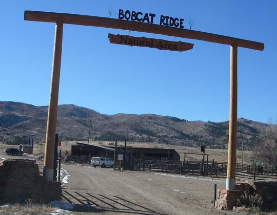
The gate to Bobcat Ridge Natural Area - there is no fee to enter
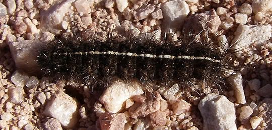
A caterpillar in January? Only in Colorado
So today, my shoulder still hurting a bit I decided to get outside for a bit finally. It was going to be a beautiful day in the mid 50’s. I decided to stay close to home. Bobcat Ridge Natural Area is located just west of Fort Collins and it took me less then 30 minutes to get there.
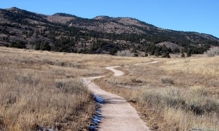
The flat accessible-grade trail heading toward the cabin
I just wanted to do a short hike but when I looked at the trail map posted in the park I decided to attempt the DR trail. The DR trail is 3.2 miles long and climbs 1,100 feet to Mahoney Park. This trail is only designated for hikers and equestrians - no mountain bikes allowed.
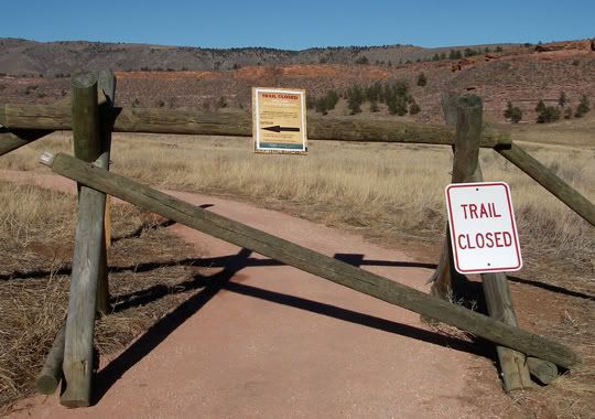
Trail closed - eagles nesting ahead
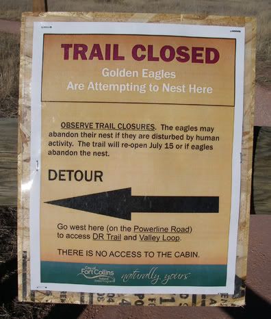
From the parking lot I headed down the accessible-grade trail toward the cabin. His trail is very flat. The sign near the trailhead said that the DR trail was 1.9 miles way. The trail to the cabin was closed off at Powerline Road because if eagles nesting. I continued up the steep hill on the Powerline Road, or is it the Power Line Trail according to the map? Then I turned right on Valley Loop Trail and I guess 1.9 later I was at the start of DR trail.
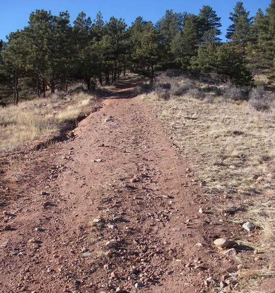
The steep Powerline Road
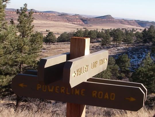
At Powerline Road and Valley Loop Trail
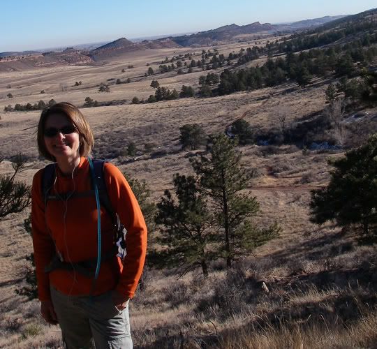
Great views from Valley Loop Trail
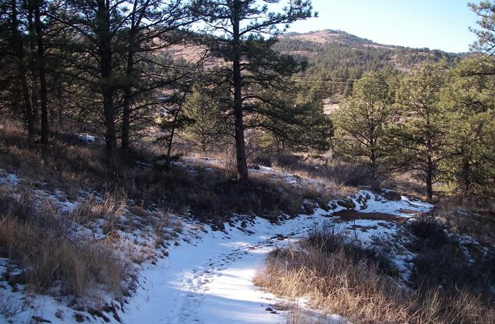
Snow on Valley Loop Trail
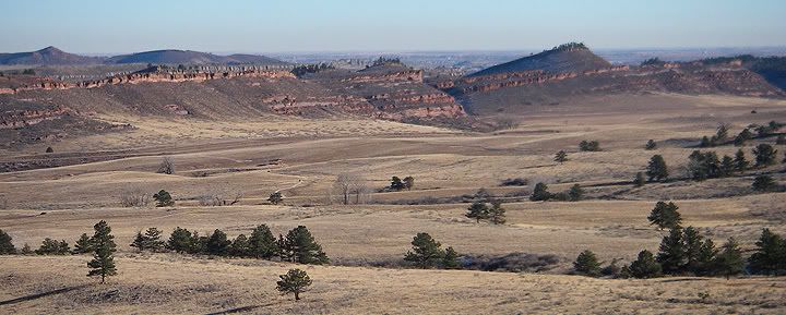
More awesome views From Valley Loop Trail
The sun was already hovering directly above the ridge and in a couple of hours the trail would be in the shadows, and an hour or so later the sun was going to set. I wanted t make it all the way to the top of the ridge but I was not hiking fast enough today to get up there. My shoulder was hurting me with each step, especially now under the weight of my backpack. And I ended wearing the wrong socks today since I wasn’t really planning on doing a long hike. I was already getting blisters from the thin socks I was wearing. Thank goodness I always carry Band-Aids, but the damage was already done and my feet were now hurting me also.
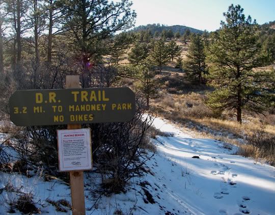
The beginning of DR Trail
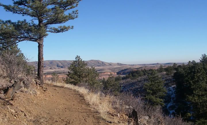
DR Trail
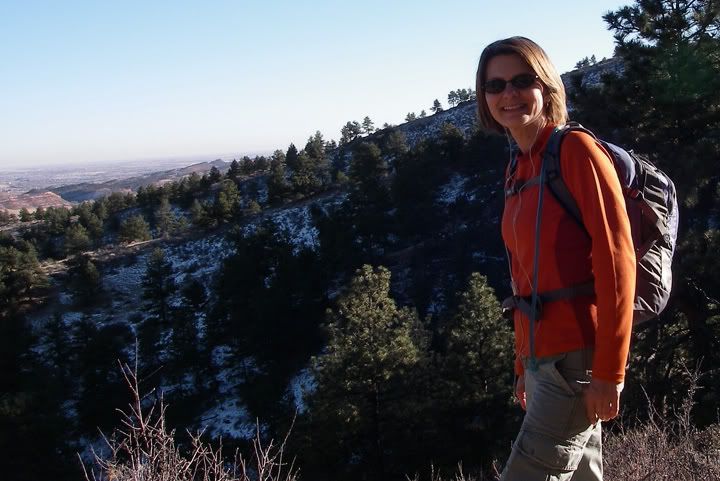
Getting up there on the DR Trail
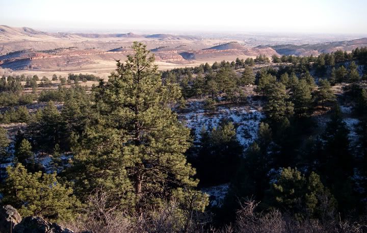
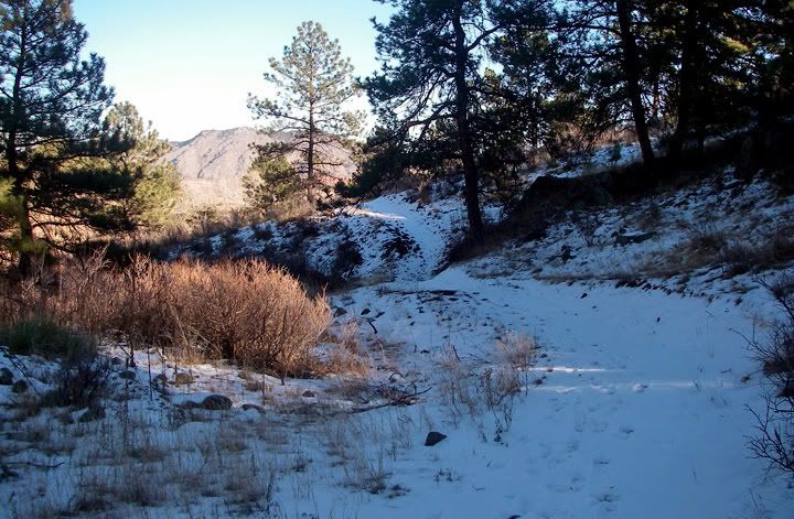
Snow on the DR Trail
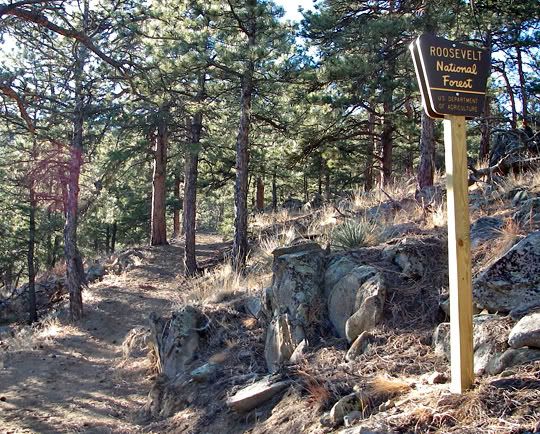
DR Trail entering the Roosevelt National Forest
The DR trail was great and there was no one on it except for me. I hiked up just about ¼ mile past the Roosevelt National Forest sign. I must have been very close to the ½ way point o the trail and I saw the ridge, it wasn’t very far now but I decided to turn around and save the ridge and beyond for another day.
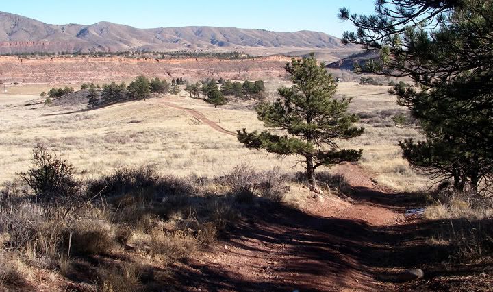
Coming back down the Powerline Road
By the time I started to head back down the DR trail I was in the shadows and by the time I got to the Powerline Road the sun was already setting. To hike the last 1.9 miles of accessible-grade trail I had to put on all my layers. The warmth faded quickly with the sunlight and I arrived at my car just as it was getting dark.
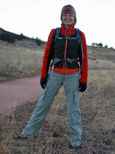
Back down on the accessible-grade trail heading back to the parking lot
Even though I only wanted to do a short hike today, I ended up hiking 5.5 miles and I‘m so glad I did. I really enjoyed the DR trail and Bobcat Ridge. I will have to come back here soon and hike some of the other trails.
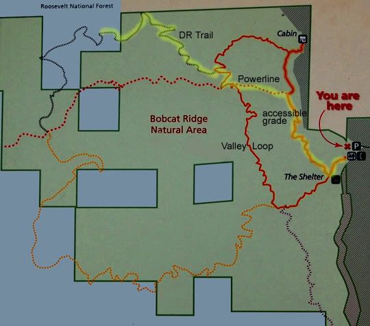
I hiked the high-lighted part, 5.5 miles round trip: accessible-grade trail to Powerline Road to Valley Loop Trail to DR Trail and back


No comments:
Post a Comment