
Today was a cooler day, the high temperature only climbed in to the low 40’s. The next trail on my short list to hike near Fort Collins was the Hewlett Gulch Trail. When driving west on highway 14, it’s the very next trailhead after passing Greyrock.
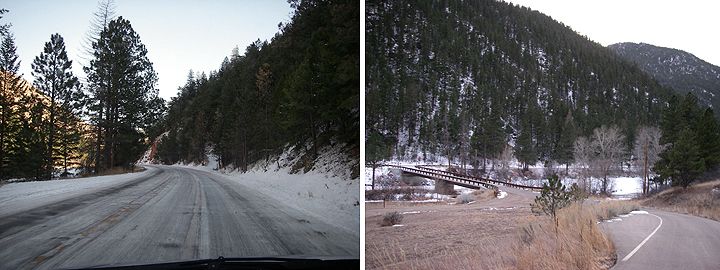
Ice and snow on highway 14 (left), bridge from Hewlett Gulch Trailhead to highway 14 (right)
Located in the Roosevelt National Forest, the Hewlett Gulch is a very popular mountain bike trail, but me being a very inexperienced mountain biker, I figured I better hike this trail first to see if I should even bring the bike here in the near future. Things like “rock garden, creek crossings, killer climbs” don’t appeal to me while I‘m on a mountain bike (yet).
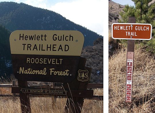
Trail open to horses, mountain bikes, hikers and xc skiiers
Hewlett Gulch Trail Info:
Beginning Elevation: 5672 feet
Ending Elevation: 6242 feet
Elevation Gain: 570 feet
Difficulty: Easy
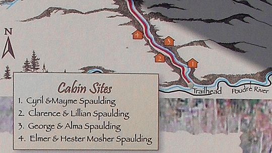
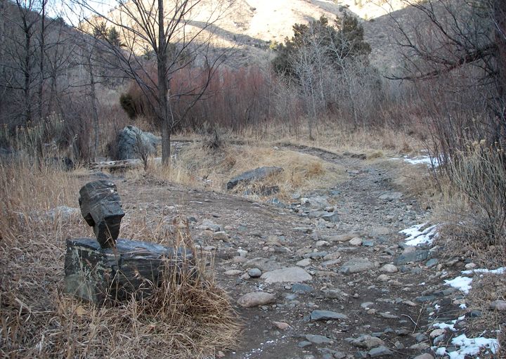
Remains of pioneer homesteads along the trail
Even though the sign at the trailhead said that this trail is 3 miles long, the mountain bike sites say that you can ride a loop of 8.5-10 miles using this trail.
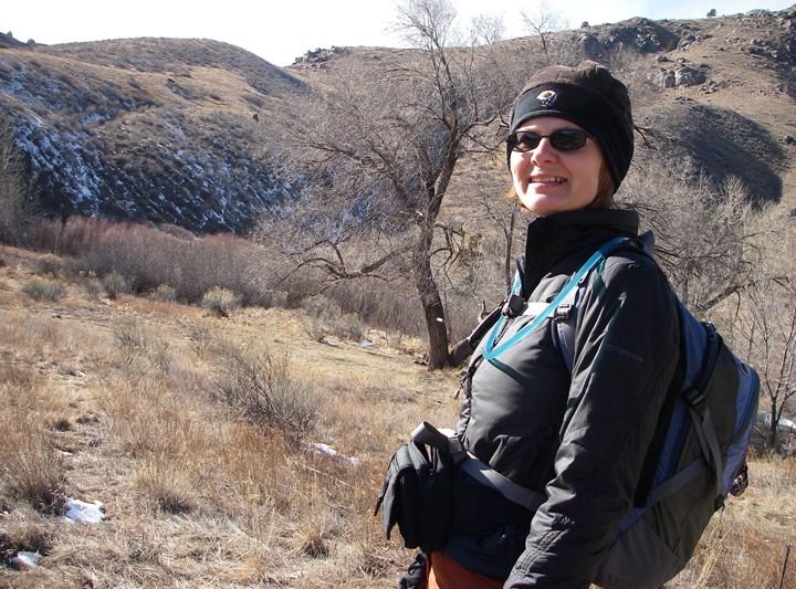
A chilly day in Fort Collins, I needed a hat and gloves today
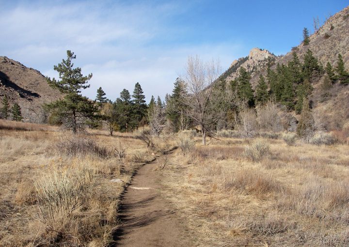
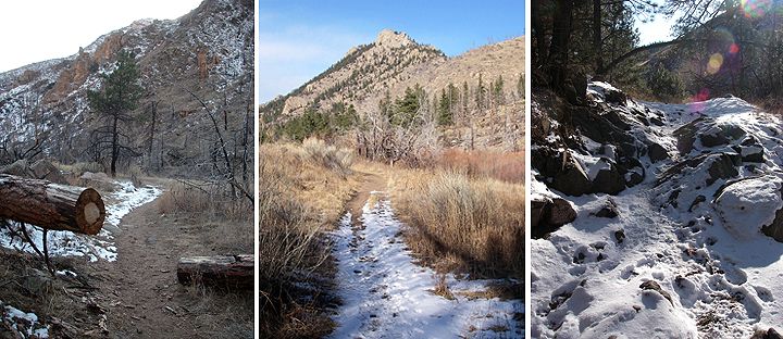
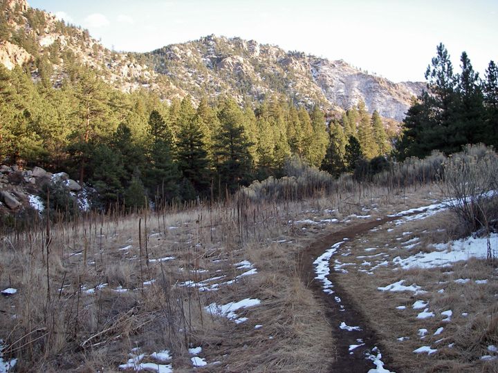
Near the beginning of the Hewlett Gulch Trail
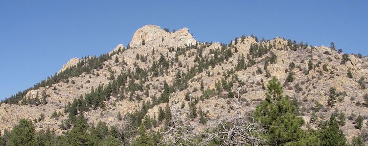
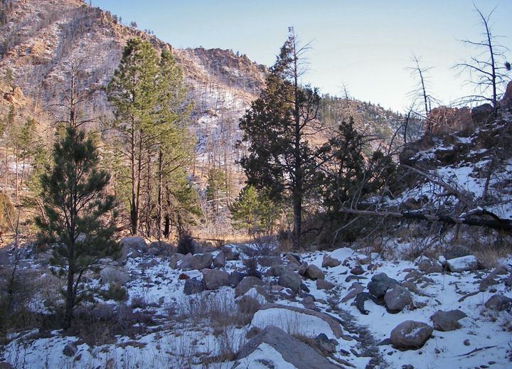
That looks like Greyrock Mountain
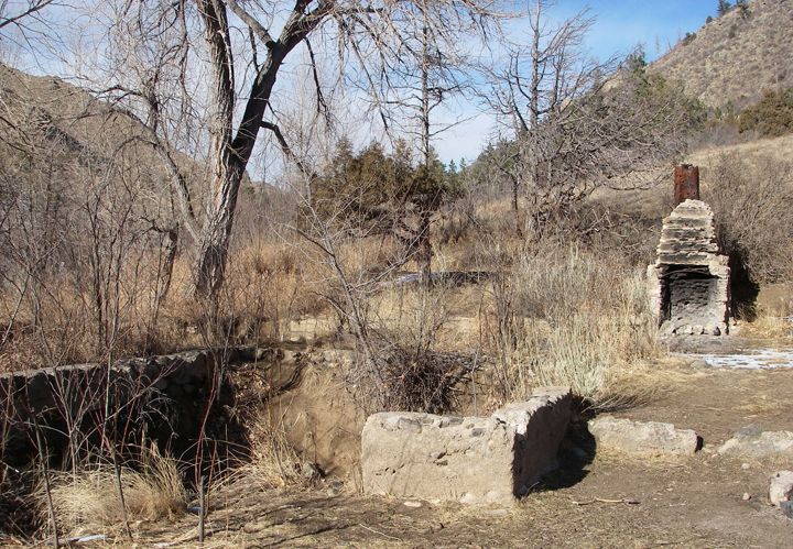
Remains of a fireplace and part of a foundation
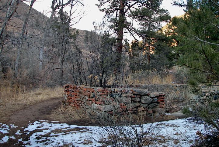
Another set of remains along the trail
A rocky section of the trail
It took me a bit longer to get here today, the road was still covered with snow and iced in places from the recent snowfall. Much of 14 is in the shadow, the canyon walls don’t allow much sun so the melting process is slow here and takes days, not hours as on the open roads in town.
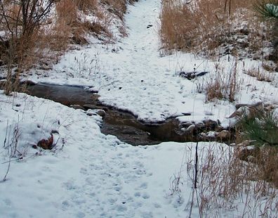
Gordon Creek crosses the trail a few times
I crossed the Poudre Rider and arrived at the trailhead. There is a vault toilet here and a pretty large parking area. Only one other car was parked here.
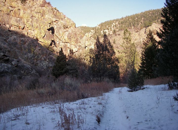
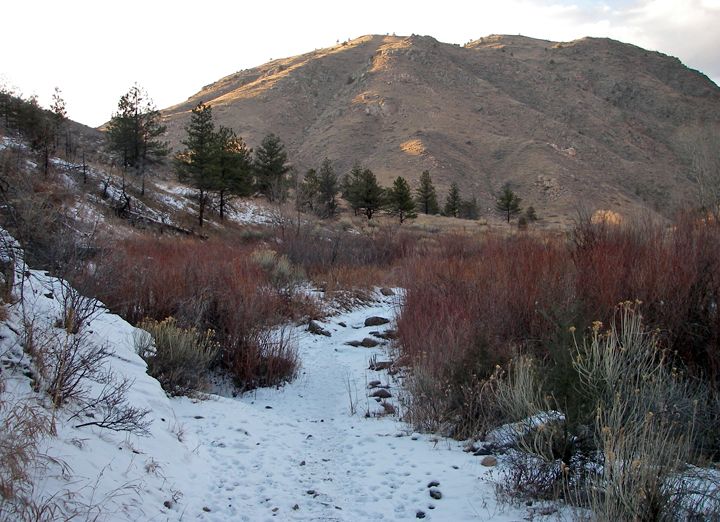
Approaching the canyon
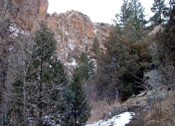
In the canyon now
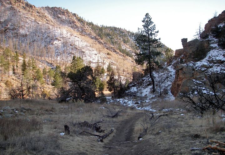
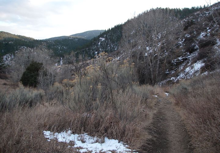
Heading back to the trailhead
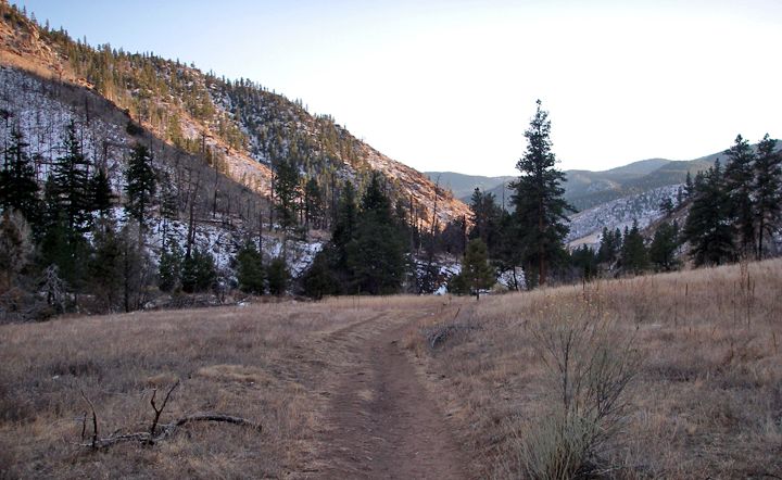
Loosing daylight fast
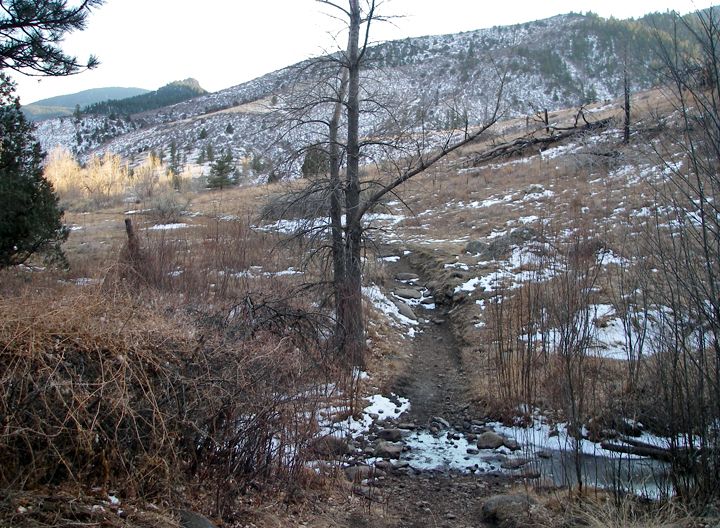
Another creek crossing
For hiking, I would say this trail is easy, the elevation gain is only 570 feet and the trailhead starts at 5672 feet in elevation. The trail follows Gordon Creek, crossing it a few times. The landscape goes through an open meadow to forest to a miniature canyon. You don’t have to look very hard to find remains of pioneer homesteads along the trail.
A looking funny rock formation, looks to be man-made
I was hoping to get to the end of the trail but I lost at least 45 minutes because of the ice on the road getting here and I knew it would take me longer to get back to Fort Collins on the ice roads. This area has black bears and mountain lions and I started to creep myself out once I hiked in to the canyon. It was dark in there, the sun was already in the west hanging low on the horizon. I probably had less then a mile to go to get to the end but I decided to turn back around and head back to the parking lot. The bears are probably hibernating but the mountain lions like to come out around dusk. Although everyone says that you’re more likely to see a bear or mountain lion near town then way out here on the trails.
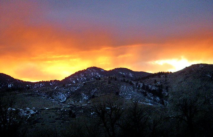
I caught a spectacular sunset over the foothills driving home

2 comments:
Great trail pictures! How long have you and Mike been married? Do you have any children? Renee in Huntington WVA.
Thanks for the compliments! I do love to take and post many pictures, I feel they "describe" an area much better than words.
Mike and I are not married and have no children. We do have 5 motorcycles, I guess those are like our kids :)
Post a Comment