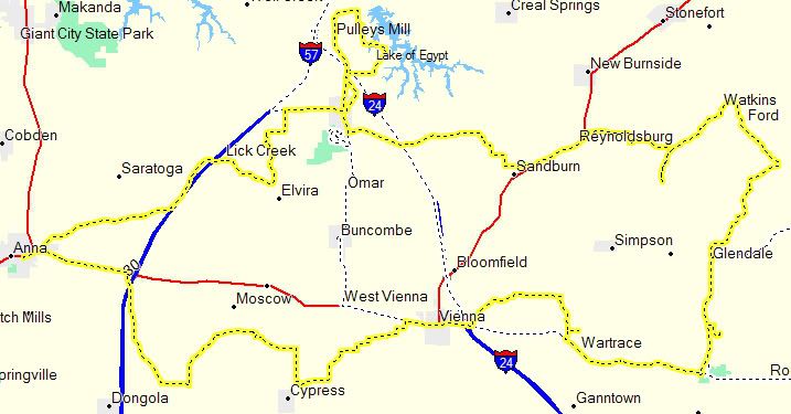
Our entire route
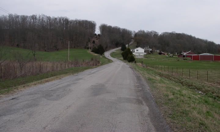
A paved road through the fields and farms
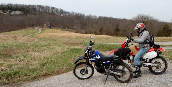
I love that cabin on the hill behind us, I'd love to live in one of those
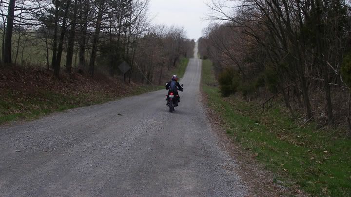
Hills and gravel
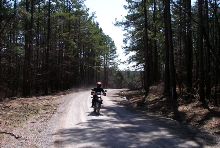
Forest and gravel
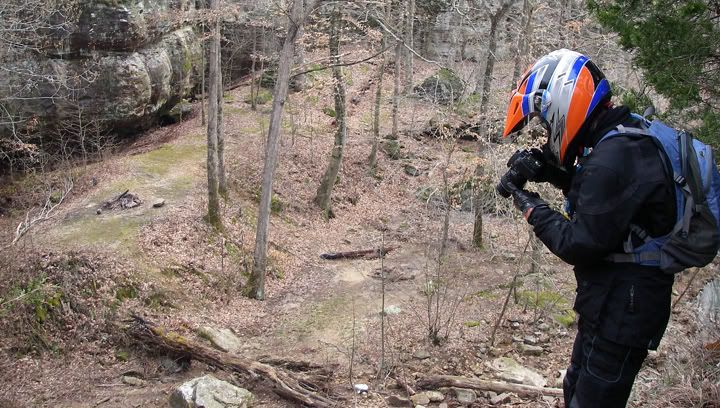
Trying to get a shot of a waterfall

We crossed this creek, which became this waterfall past the cliff's edge
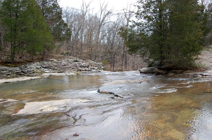
Here is the waterfall from the other side, before the water falls over the cliff
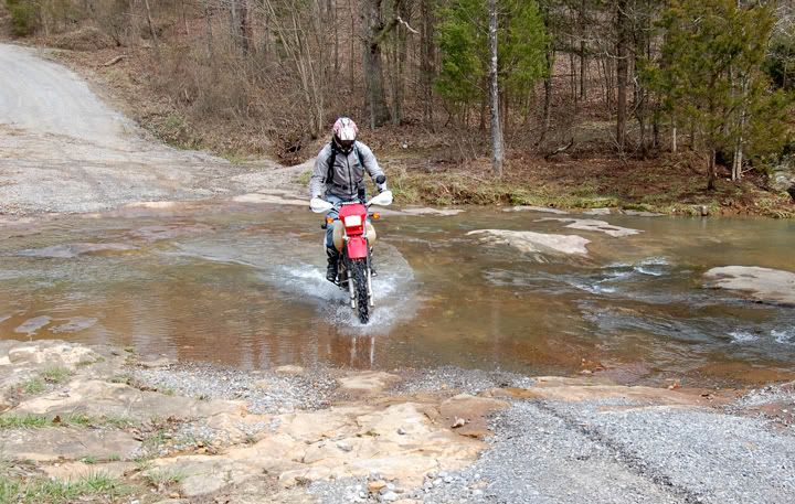
Mike crossing the creek with the waterfall
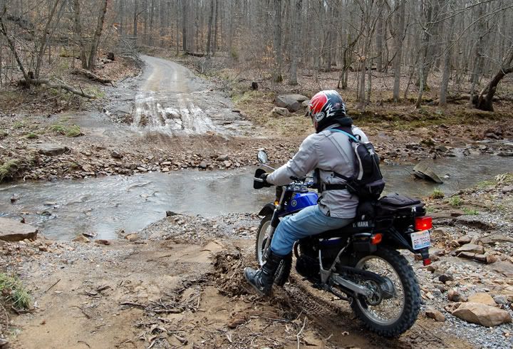
Mike doing the water crossing for me on my bike, the second creek was deep with many large rocks
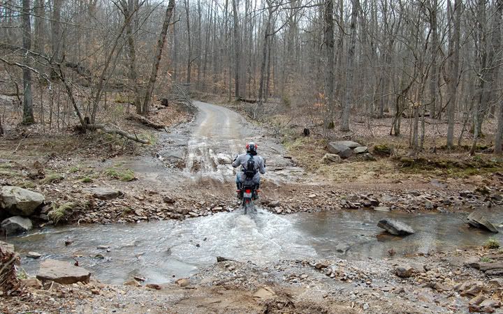
He makes it look so easy
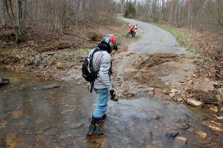
Mike crossing the creek to get to his bike, the creek was deep, he's stepping on rocks that sat near the water's surface
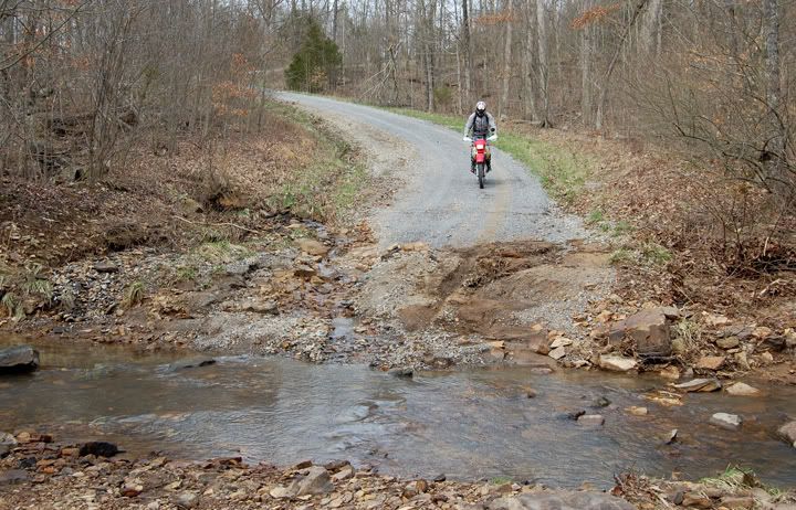
Mike crossing the creek with his bike
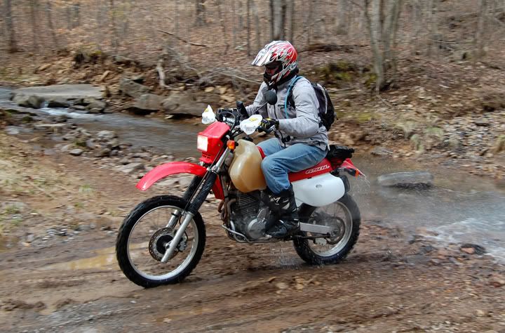
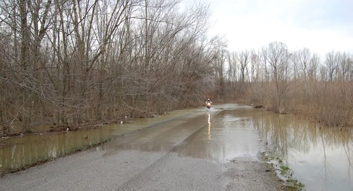
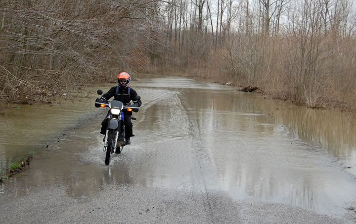
Having some fun with a flooded road
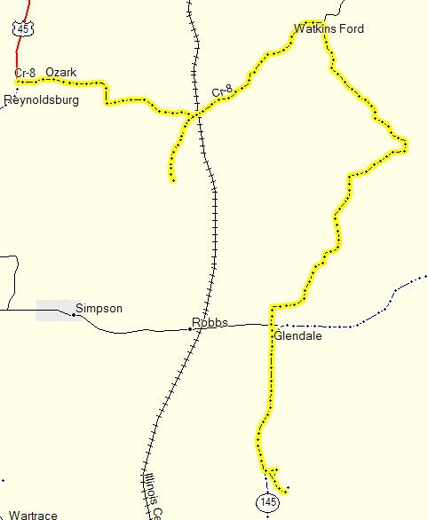
Morning route, Ozark General store is located on CR-8 and RT45
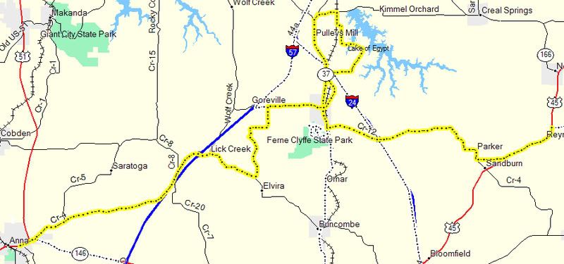
We can't remember where the cool water crossing and water fall was located, we do know it was on the part of the route between Ozark and Anna

The last leg of the route from Anna back to Lake Glendale Rec. Area


No comments:
Post a Comment