
Today I needed to go for hike. I had some gear to test out before my serious summit hike this weekend. I needed to find some boulders and do some scrambling. I needed to see how my gear would perform, and I needed some exercise as well.
I knew the perfect place too, the Greyrock Mountain just west of Fort Collins, but this time I would be hikng all the way to the summit. I decided to take the shorter but steeper Greyrock Summit Trail, I like the Greyrock Meadows Trail better but I didn’t have the time to the longer trail today. In this post I'm only writting about the last .75 miles to the summit of Greyrock. To read more about the Greyrock Summit Trail or the Greyrock Meadows Trail click on these links.
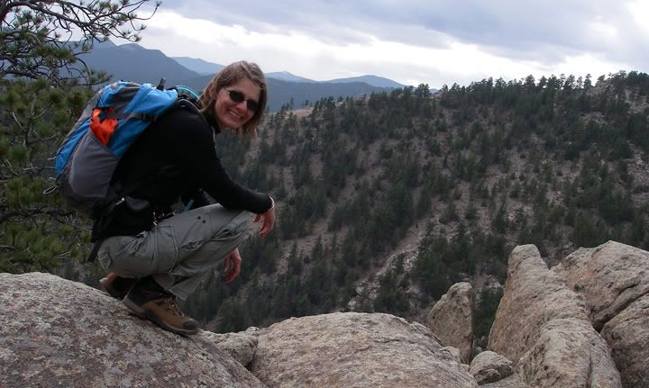
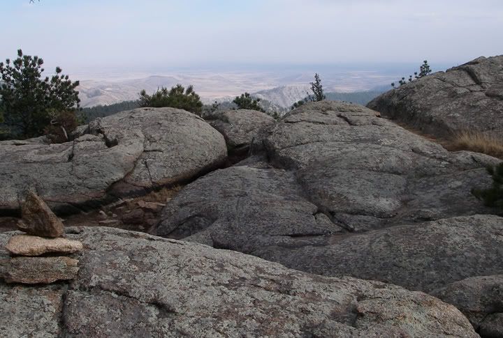
Playing around on the boulders
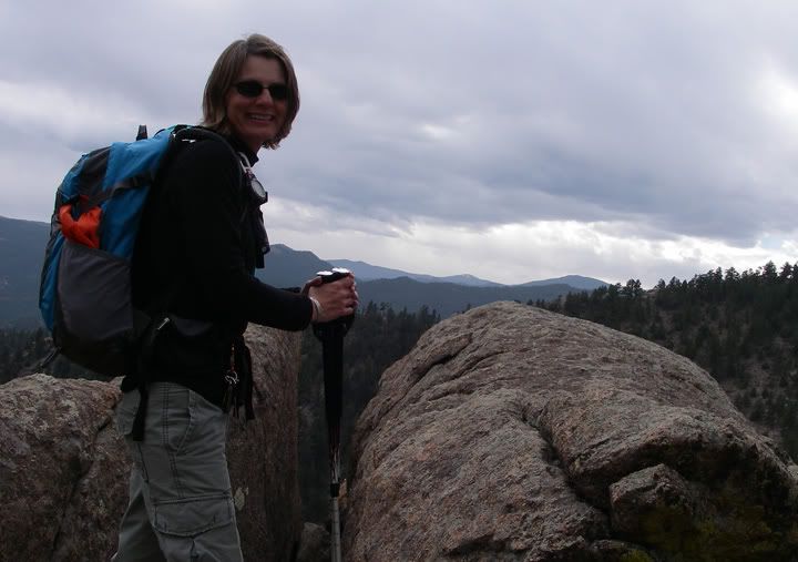
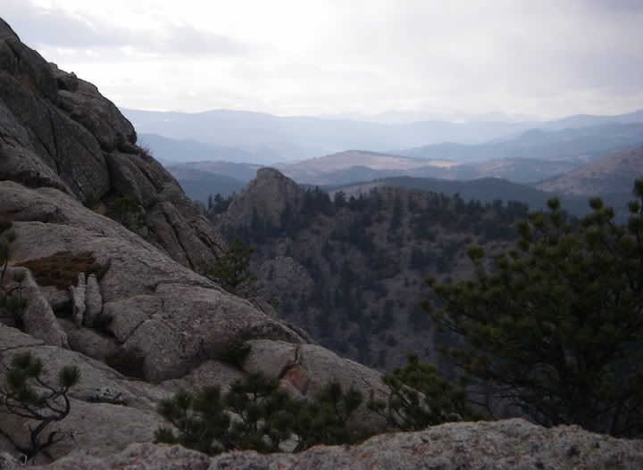
Half way up the Greyrock Summit Trail, the view to the south
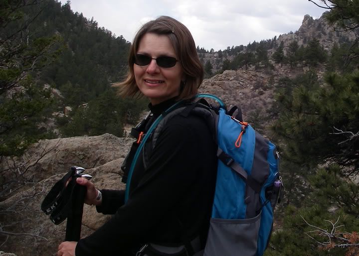
Half way up the Greyrock Summit Trail, the view to the west
Today was a nice day, about 60 degrees but cloudy. At about 12:30PM I pulled in to the parking lot at the trailhead. Since I didn’t stop for any pictures along the way, I made it through the first 2.35 miles quickly. At this point I only had .75 more miles to the summit and since I was making great time, I figured I would have lots of time to spend exploring the three summits of Greyrock.
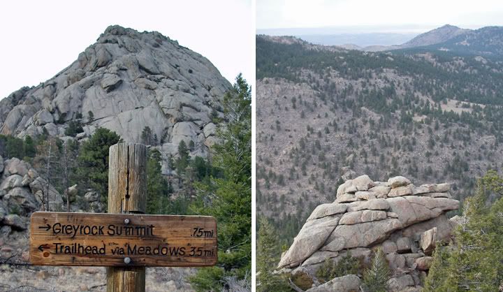
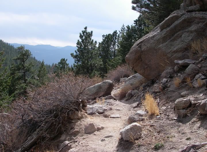
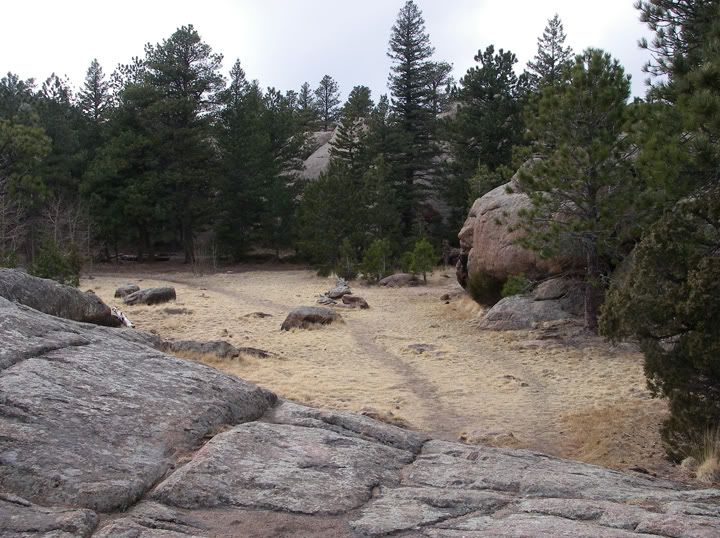
.75 miles left to the summit sign (left), cool boulders and rocks along the trail (right)
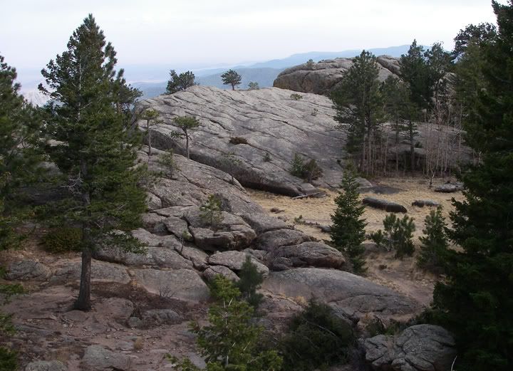
The last bit of "easy" trail up to the summit
I read on the internet that the last .75 miles of the trail up to the summit is very rocky and at times the trail is hard to find. There are also boulders that required scrambling. As I continued, I found out that all of that was true and as I made my way between large rocks and pulled myself up a few large boulders, I decided that at this point my trekking poles were useless so I put them away, but I knew that they would come in very handy for the hike down to the parking lot.
That's the summit up there, I'm close now
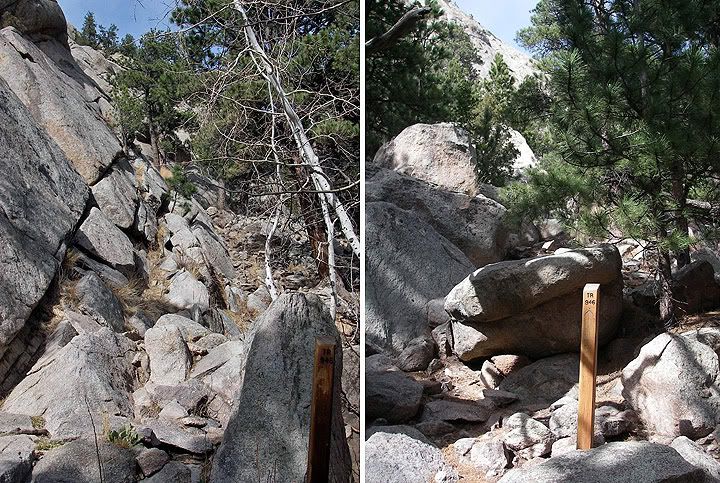
Trail markers, even with these it was hard to follow the trail among the rocks and boulders
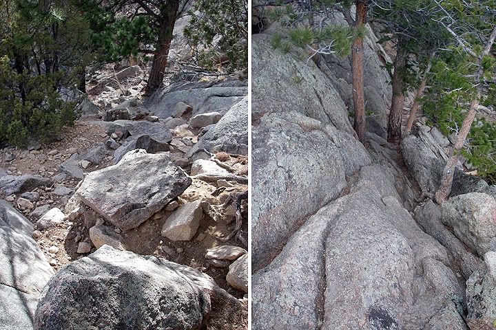
That's the trail, very rocky and steep (left), the trail goes in between the rocks and the two trees (right)
The last .75 miles to the summit took a while to get through, mostly because I kept stopping to take pictures and kept going out of the way to check out boulders and the great scenery, but also because the trail was not very easy to hike here. Near the summit the trail disappeared, if it wasn’t for the cairns stacked along the rocks and boulders, I honestly wouldn’t know where to go.
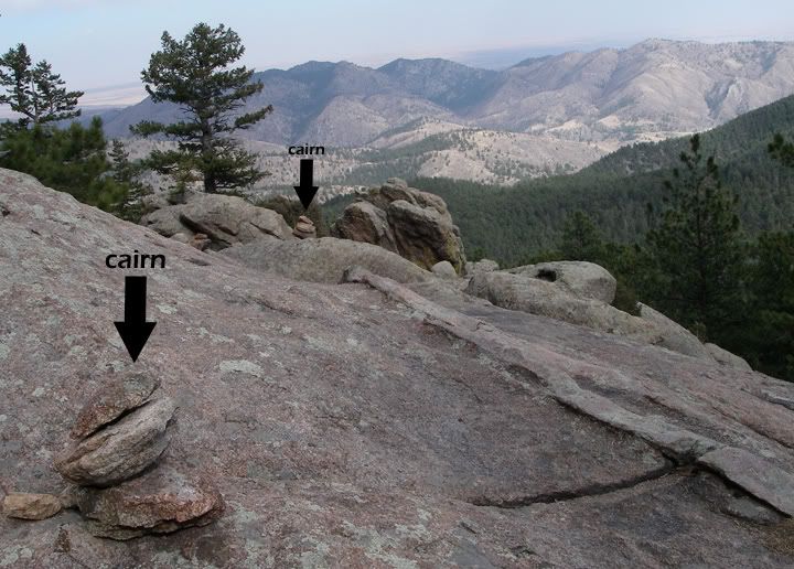
Cairns marking the trail near the summit
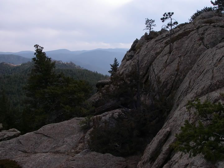
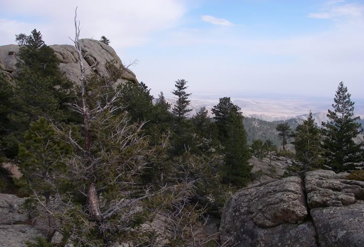
Another shot of the amazing views on the way to the summit
Almost at the top now
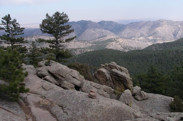
At the top of Greyrock Mountain
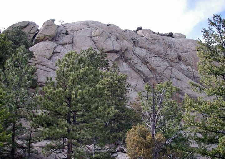
The top of Greyrock Mountain is quite large, yet it looks so small from a distance. There are actually three summits on top of this mountain, there is also a campsite up there. The views went on for ever from the top of this large rock. I climbed one of the summits and unfortunately I ran out of time and had to start heading back to the car. It was getting late already. I will definitely be coming back here, and I’ll get here early next time so I can explore the three summits of Greyrock Mountain.
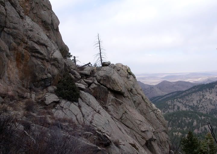
One of the summits on Greyrock
On the way back down I somehow lost the trail. After going a bit out of the way hoping to come across the trail again, I decided to go back where I came from before I wasted more time. Sure enough, the trail was there all along, I just couldn’t see it. I came down on the wrong side of the boulder, and the trail was hidden on the other side.
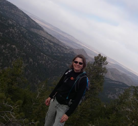
I had no level surface to put the camera on, a picture of me on top of one of the summits
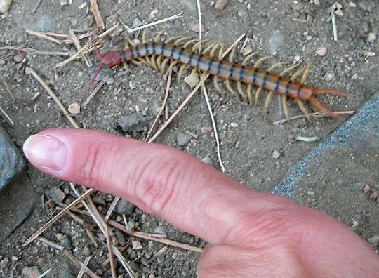
I saw this thing on the trail... yuck!
By the time I arrived at the sign that says “.75 miles to the summit” I knew that in about two hours I’d be back down, having now hiked this section a few times. 6.2+ miles later, I could tell I had a nice workout, especially the last .75 to the summit. This hike is becoming one of my favorites near Fort Collins.
Beginning elevation: 5,300 feet
Summit elevation: 7,600 feet
Elevation gain: 2,300 feet
Distance to summit via:
Greyrock Meadows Trail: 4.3 miles
Greyrock Summit Trail: 3.1 miles

No comments:
Post a Comment