
Woke up and heard rain drops bouncing off the tent. There was no reason to get up early, so we checked the weather using the phone, the rain was supposed to be moving out of the area in a few hours. Back to sleep for a couple more hours.
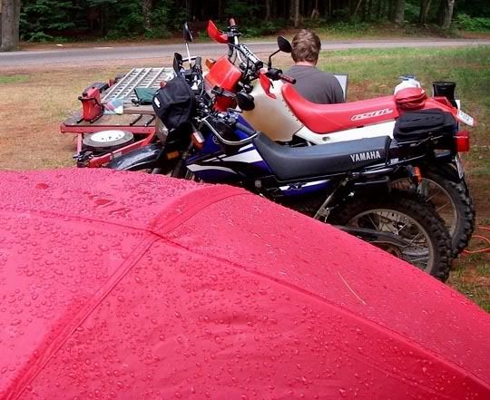
Beads of rain on top of the tent
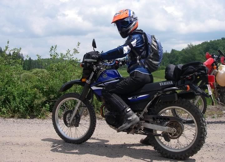
We got up at 9AM, the rain had stopped, the sun was making an appearance and the ground was starting to dry out. It was already 60 degrees and the high for the day was going to be around 80. After some coffee and breakfast we started to get ready but since we didn’t leave for the ride at 8AM as we planned, we needed to adjust our route and make it shorter. By noon we were on the road heading up Peshekee Grade.
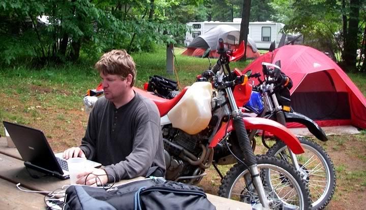
Re-doing the route
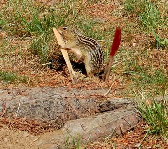
After making lunches for later, we left some peanutbutter and jelly out for our neighbor the chipmunk, he liked the peanutbutter best
The Huron Mountains
The Huron Mountains are located mostly in Marquette and Baraga Counties, overlooking Lake Superior. Their highest peak is Mount Arvon outside of L’Anse, which is 1,979 feet above sea level and is the highest point in the state of Michigan. The mountains are the remnants of much higher peaks, which have gone through successive periods of uplift and erosion.
Today, we were going to ride Triple A, Ford, Northwestern and Erick Roads, a route that utilizes the constructed portions of the proposed M-35 route which was supposed to continue over the Huron Mountains and connect up to the road on the other side that we rode two days ago, which is now county road 510.
Paved section of Peshekee Grade
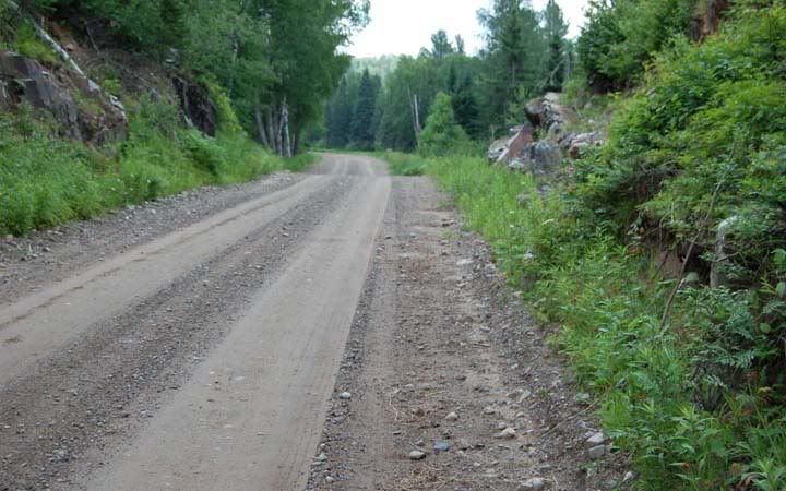
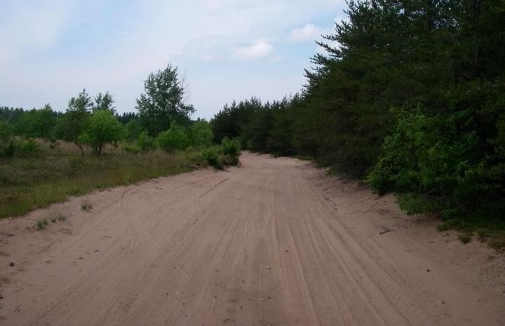
Dirt section of Peshekee Grade
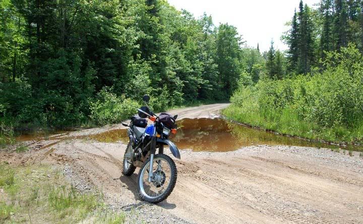
Peshekee Grade is only paved for about 12 miles or so, then it becomes a wide dirt/gravel road, you can tell cars travel that road frequently by all those bumps and ruts it has, but further down the road smoothed out and continued as Huron Peshekee Grade.
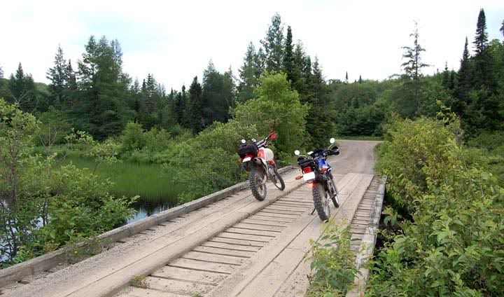
Many bridges on Huron Peshekee Road
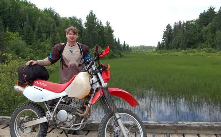
Check out this great scenery
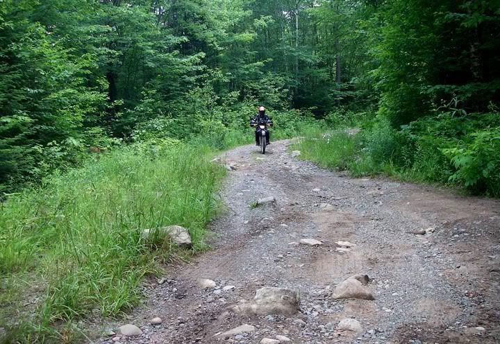
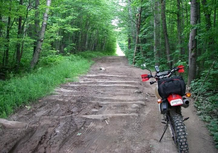
Crossing over many bridges, we finally turned off on a road that apparently has no name, not in Microsoft Street & Trips, not in the Garmin software, not on mapquest. It’s a narrow road, with rocks and logs thrown it, puddles and some hills to climb, nothing very technical. From there we got on Triple A. I already knew the end portion of that road, where it meets up with 510, was all sand. I checked it out two days ago when we rode 510. I didn’t really want to ride that far just to ride in deep sand. By the time we got to Ford Road, the road was already very sandy. There was no reason to spend an additional 15-20 miles riding sand, so we turned off on Ford heading north as a short cut, half of it was deep sand, but then it got a lot better.
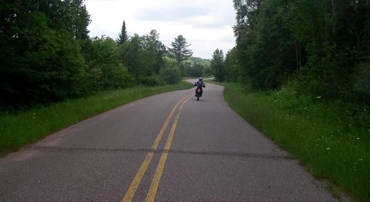
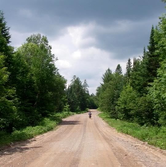
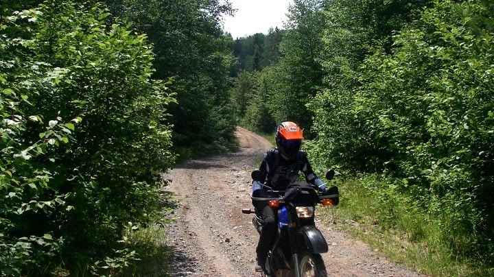
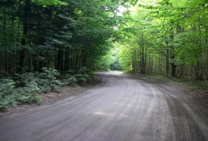
Dirt roads, bring them on!
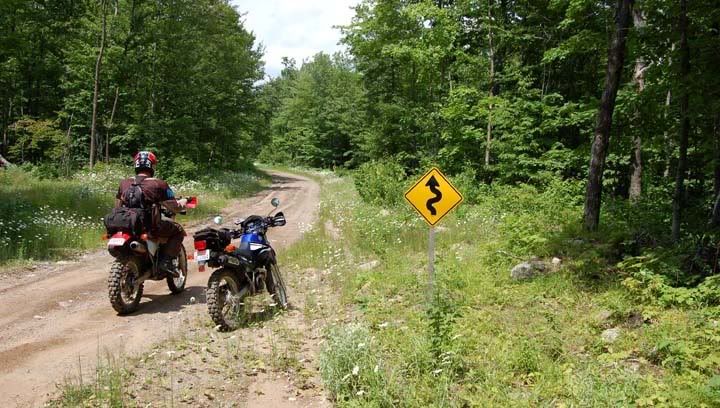
A "twisty" sign on a dirt road
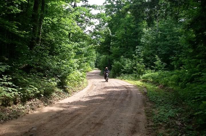

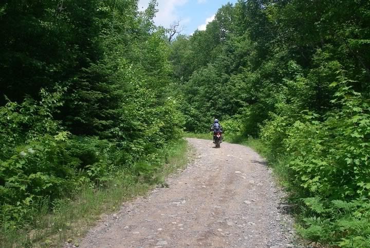
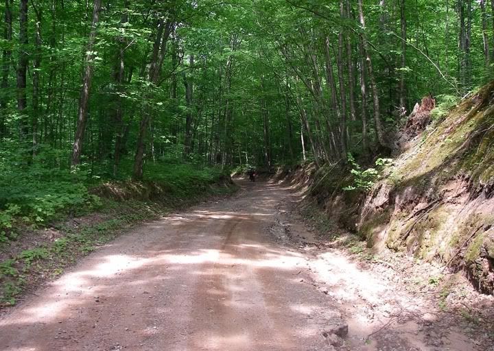
The road gets narrow and bumpy
We were looking for a nice place to stop and have lunch for a while already, like a river or a lake, a place to sit, but there was nothing and we were pretty hungry by now so we stopped on Ford Road where there was a log near the road for us to sit on. It was a quick lunch of peanut butter and jelly sandwiches and chocolate pudding because the flies and mosquitoes were very annoying today.
Sandy part of Ford Road

Lunch stop on Ford Road, mmmm peanutbutter and jelly sandwitches
By the time we turned of on Northwestern, the rode got widder, some great riding today. I enjoyed Erick Road especially, since I was kind of tired at this point and this road allowed me to go a bit faster.
On Erick Road we crossed a bridge, it was the Huron River below. It was time for a longer break now, rivers are always fun to explore. Just around the corner was a park with picnic tables, this would have been a better place to eat our lunch. We startled a deer out of the woods, parked the bikes and hiked down to play in the water.
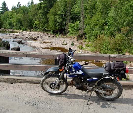
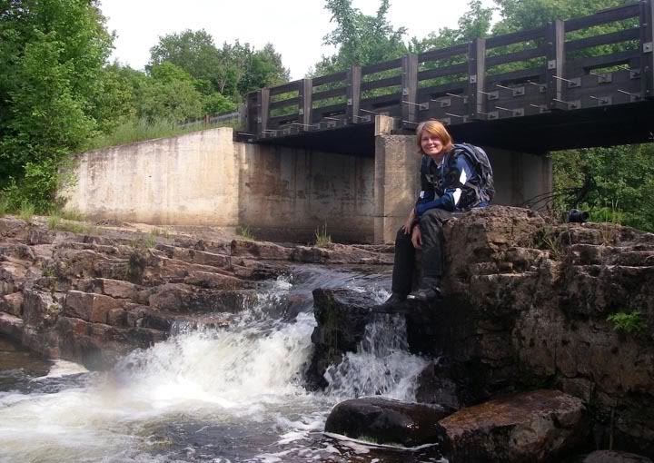
Bridge on Erick Road and the Huron River below

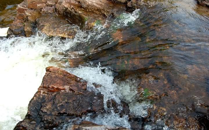
Huron River looked like a nice place to take a break
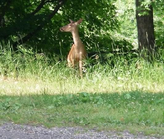
This guy was also taking a break at the river
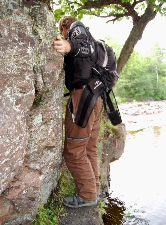
The good spot by the river required some climbing
Underneath the Erick Road bridge

Ahhhhhhhhh... so refreshing

I can do that too with my boots on, since they are waterproof

Mike taking close-ups of the river...
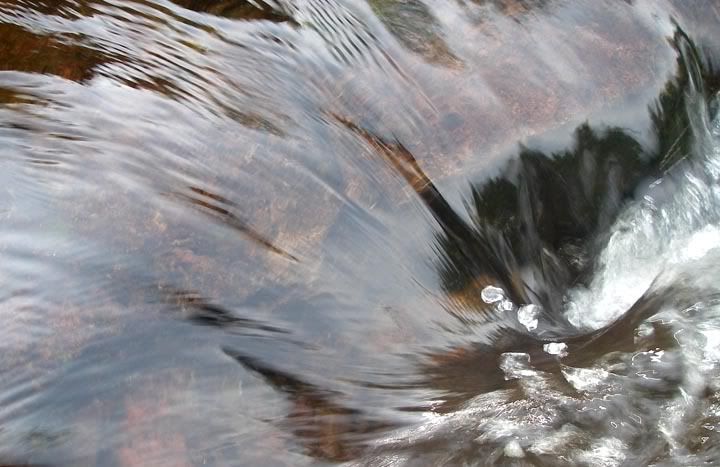
... here is one of them
After a while we took off again, turning off on Black Creek Road heading south. This was a nice high-speed hard-dirt road with plenty of curves, it was wide and smooth, after a while it totally changed to a narrow road, and then we turned off on another, smaller road that resembled more a trail than a road. We finally looped back down to the nameless road that took us to Peshekee Grade. Wow, we didn’t get lost today, not even a little. I truly enjoyed today’s loop, all the roads were great, except for the very sandy portion of Ford Road, which wasn’t that bad because it was only a couple of miles.
Blackcreek road, so smooth, wide and twisty, for a while I thought I was riding my street bike on pavement
On the way back we stopped at this bridge right off MI-41. It was an old bridge that wasn’t used anymore, overgrown with grass. It would have been nice to hang out here a bit longer but the mosquitoes were eating me alive even though I sprayed myself with Deep Woods Off.
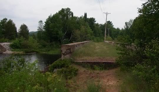
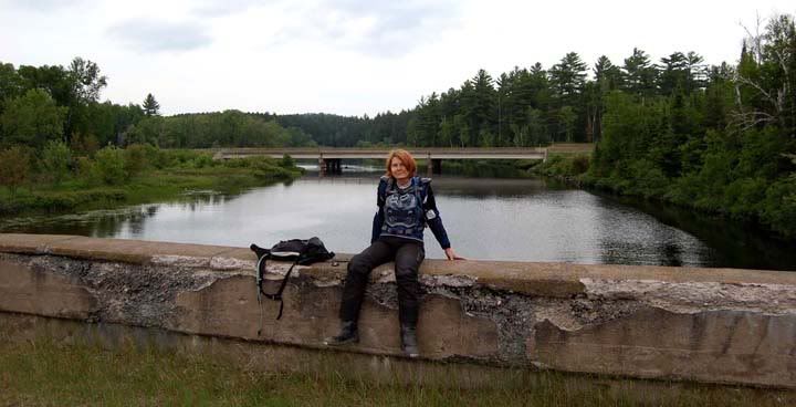
Taking a break on the 'forgotten bridge'
We got back to the camp with more fire wood and ice. Tonight’s dinner consisted of canned soup and some cookies. The bike’s were loaded up on the trailer, so all we had to do tomorrow morning was get up, have coffee and leave. But we weren’t going home just yet, we had one more place to visit first.
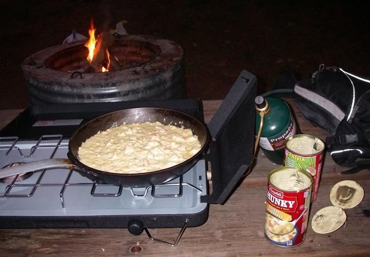
Dinner - soup is good food

Relaxing on our last night in the UP

Where we went to today

No comments:
Post a Comment