
Today’s first stop was 60 miles away from Curecanti Rec Area where we camped last night. We continued west on highway 50 then turned on 347 and headed north to the south entrance of the Black Canyon of the Gunnison National Park.
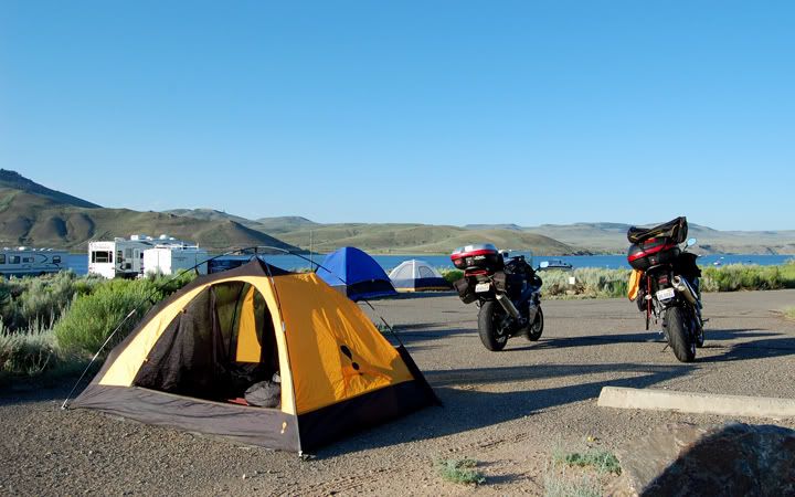
Our camp site at Stevens Creek in the Curecanti Rec Area
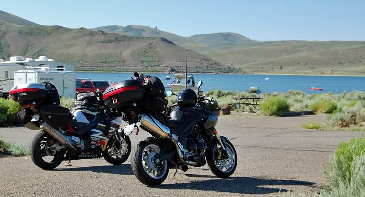
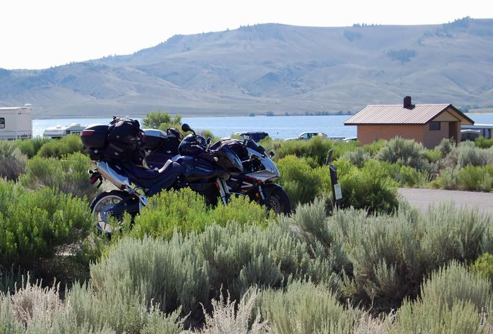
Camping on the Blue Mesa Reservoir
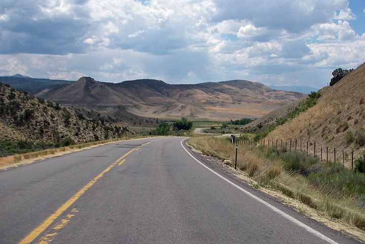
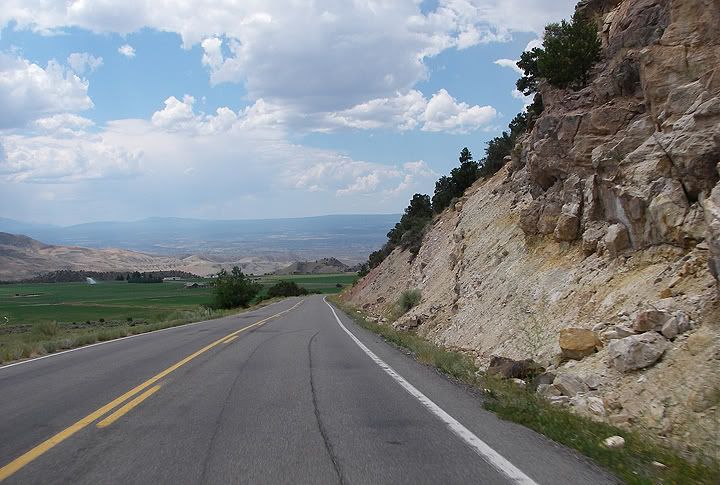
Highway 50 west of Sapinero
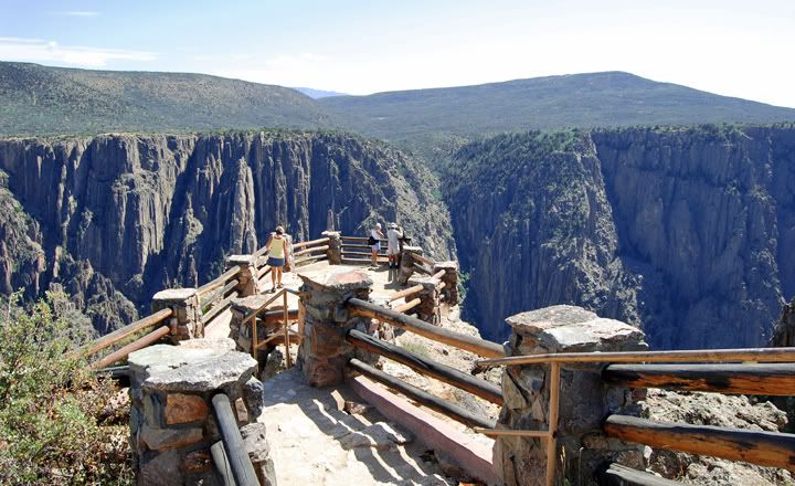
We still had more places to visit today so this was just a drive by. We rode the twisty road around the South Rim Road, stopped at the visitor center and at few of the overlooks and continued west on 50. It was very hot in the park, in the upper 90's, so we didn't stop too much.
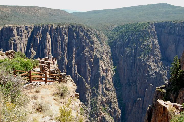
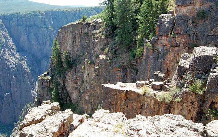
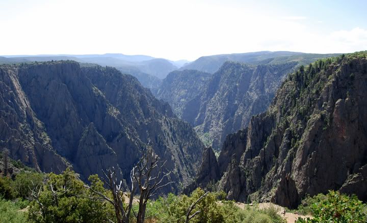
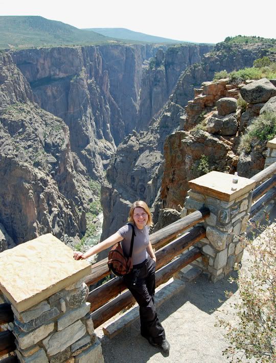
Black Canyon of the Gunnison south rim
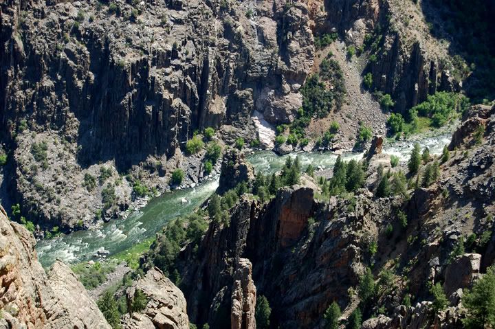
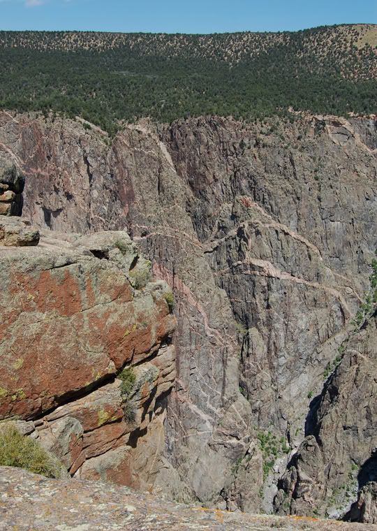
The Gunnison River has one of the steepest mountain descents in North America
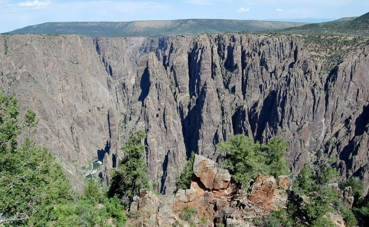
The Black Canyon is named because of its steepness which makes sunlight difficult to penetrate very far down the canyon
Visitor Center on the south rim of the Black Canyon of the Gunnison
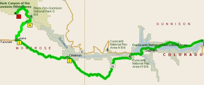
60 miles from Curecanti Rec Area to Black Canyon of the Gunnison
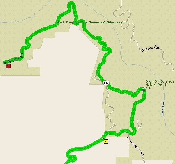
South Rim Road through Black Canyon of the Gunnison N. P.

2 comments:
Hi, love the pics. What kind of camera did you shoot these Black Canyon photos with?
Thanks!
Julie
juliette.adams@yahoo.com
Julie,
Thanks. I shoot with a Nikon D-40. I really like this camera. For a DSLR it's as easy to use as a point-and-shoot.
Anna
Post a Comment